
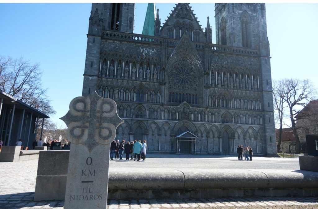
Everything You Need to Know When Visiting Nidaros Cathedral

Here’s my detailed guide for Nidaros Cathedral, including history & what you can see inside.
Drive it Yourself: Oslo to Trondheim on the E6
Take the major highway E6 between Oslo and Trondheim.
Drive it Yourself: Bergen to Balestrand on the E39
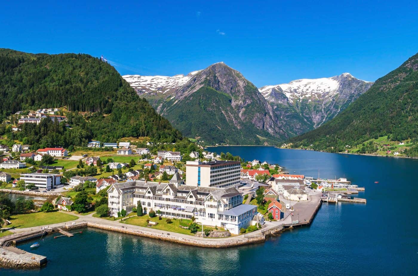
Visit Balestrand on the Sognefjord with this scenic drive from Bergen.
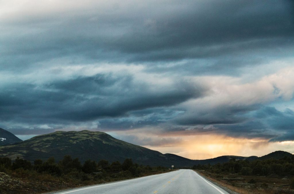
Drive it Yourself: E6 from Mo i Rana to Trondheim

Explore a scenic section of the European Highway 6 between Mo i Rana and Trondheim
Drive it Yourself: Trondheim to Namsos on the E6
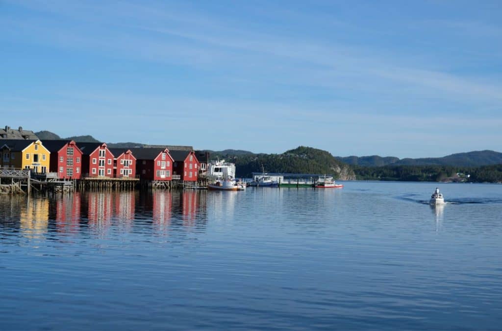
Drive it Yourself: Trondheim to Namsos on the E6 Welcome to my guide for the drive between Trondheim and Namsos. This drive primarily takes place on the European Highway 6, which runs practically the entire length of Norway. It is also partly the beginning of Norway’s coastal road (Kystriksveien), a famous scenic drive along a […]
Trondheim Self-Guided Walking Tour: Medieval History & Everyday Life
Explore Trondheim when you are on the Hurtigruten either north or southbound. This guide covers everything you can see in Trondheim in two hours
The History of Trondheim: Vikings, Christianity & World War II

Learn about the history of Trondheim, an important city in the early years of Christianity and home to Norway’s most important cathedral, Nidaros.