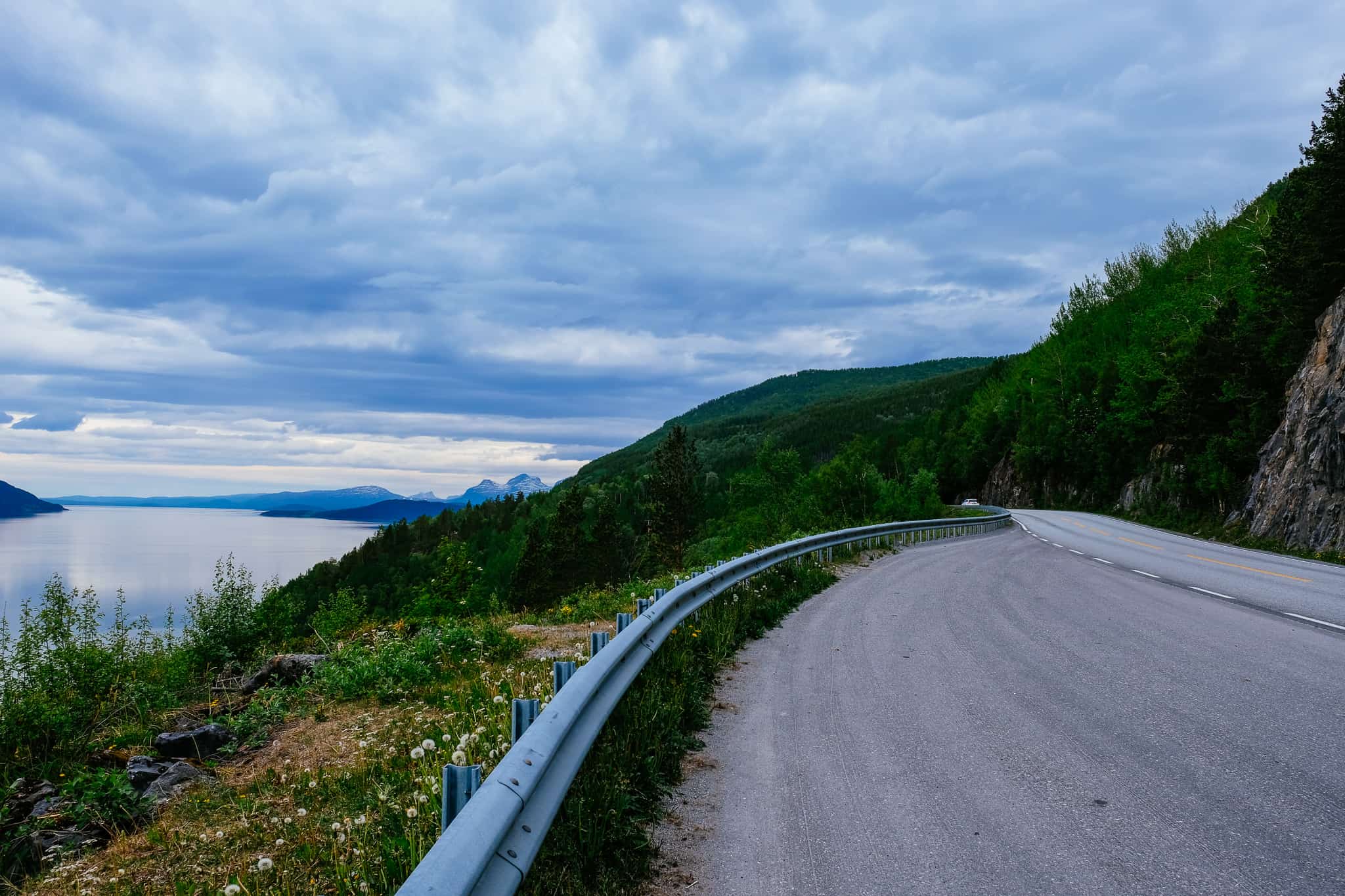
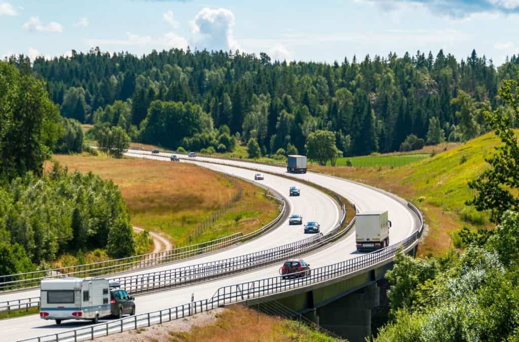
The E6 (European Highway 6) is the main highway that runs from Narvik to Mo i Rana. This portion of the drive takes place just above the Arctic Circle; we actually cross the Arctic Circle close to Mo i Rana.
There is a lot of World War II history along this road. From the famous Battle of Narvik to the attempted Arctic Railway, there are plenty of historic places to stop.
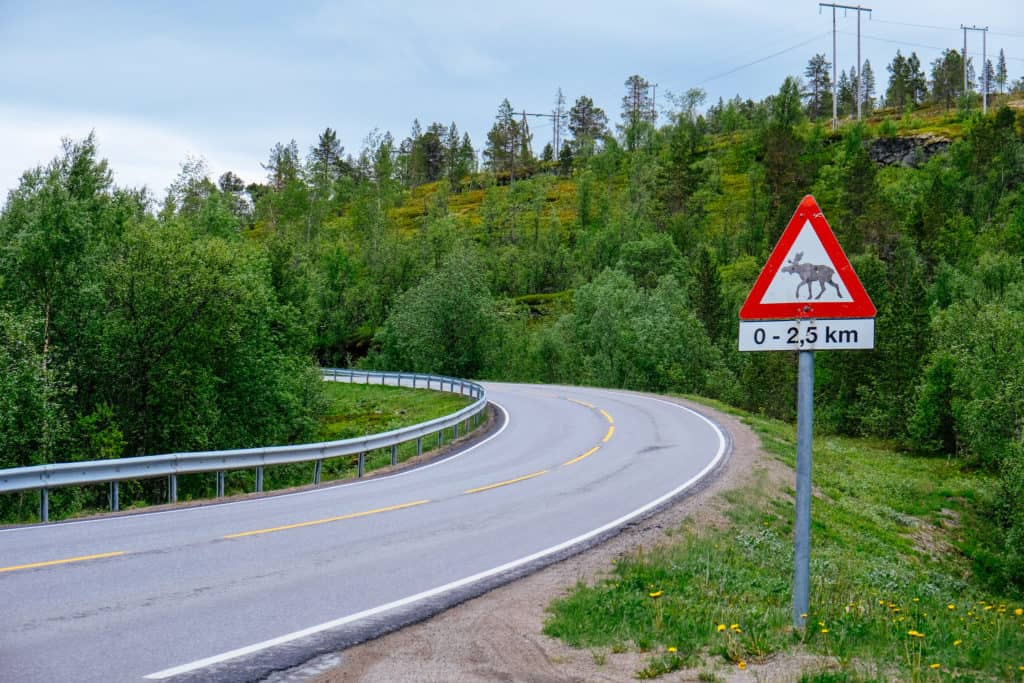
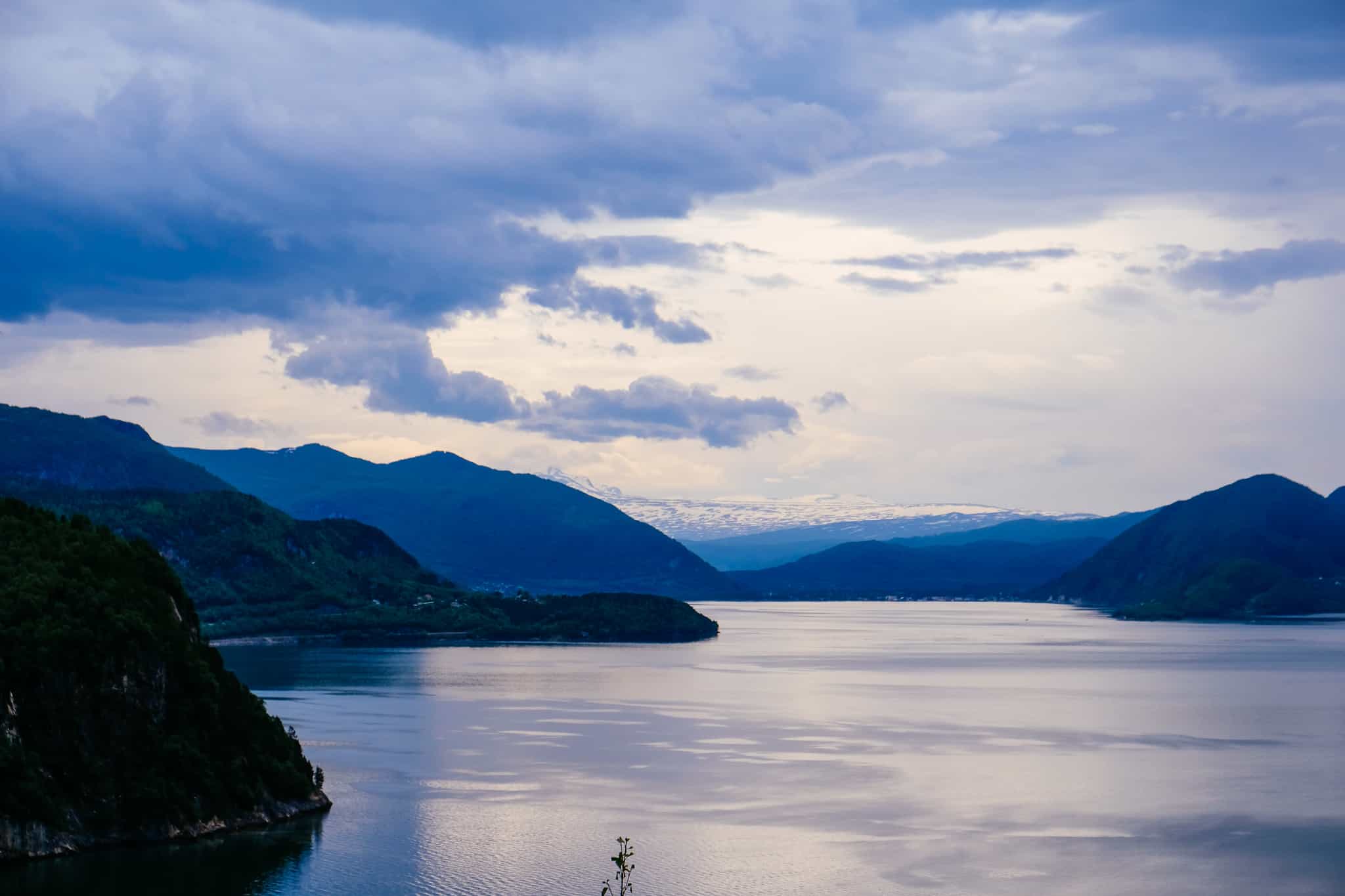
For the nature lovers, the Saltfjellet-Svartisen National Park is a delight to travel through.
When we did this drive, I remember being surprised by how stunningly beautiful and untouched this part of Norway is. Also, there were so few settlements here.
Enjoy the drive!
In this article...
Downloadable Version of This Guide
We offer downloadable versions of our self-guided drives on our online store.
Facilities including supermarkets, toilets, petrol, hotels, cafes, restaurants with addresses.
Watch on Youtube
All of our roadtrips are available on YouTube to watch. They include information about the area provided in text and voiceover form, plus they show the drive in full (sped up in some spots!) so you can get an idea what the drive is like.
Fagernes has historically been a singular farm, and it has been known for a few hundred years as the largest and wealthiest in the inner part of Ofoten. It was of central importance to the construction of the railway between Kiruna and Narvik; the wealthy farmer Statius Mosling was eager to have the railroad built. It is because of him that the Ofoten Line ends in Fagernes and not Narvik.
Today Fagernes is an inner suburb of Narvik.
Målselv Municipality
Målselv (Sami name: Málatvuomi suohkan) is a municipality in Troms County. The area was settled by farmers from southern Norway from 1788 onwards. They came here because of the large, forested areas as well as the fertile land. The valley and the municipality take its name from the river Målselva, which is well known for its salmon. The river also forms the Målselv waterfall, which has been selected as Norway’s national waterfall. One of the rarest orchids in Europe, Lysiella oligantha, is found in Målselva.
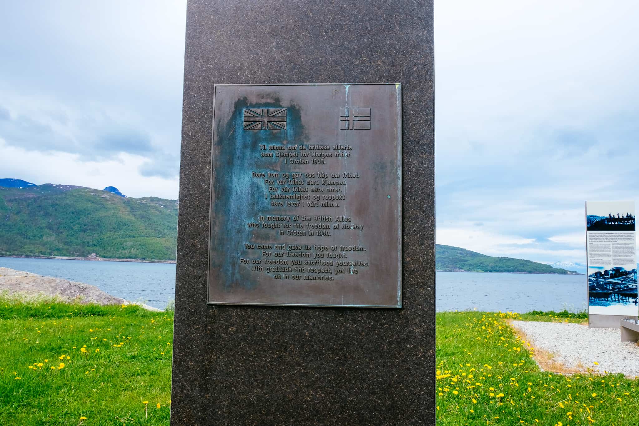
Skjomnes Memorial
Memorial
This memorial commemorates the naval battles that took place on the Ofotfjord. It particularly explains the fighting that took place on the Ankenes peninsula, and there is an information board about the dramatic events that took place here. The memorial is set in a nice location by the fjord, perfect to take a break.
Ballangen
Village
Ballangen (Sami name: Bálák) used to be its own municipality until it was merged with Narvik in 2020.
The area was known in the Viking Age; the first person to live here was Lodve Lange, who is mentioned in the Heimskringla as one of Olav Tryggvason’s most trusted warriors. He lived at Saltvik, the small village we just passed through.
Ballangen saw growth in the 17th century thanks to mining, and in total over 36 mines have been operated in Ballangen. Minerals like copper, nickel, iron, zinc, manganese and lead have been mined. Ballangen has the dubious distinction of having Norway’s highest rate of sick leave from work, probably due to the high number of people who work in the mines there and related environmental effects.
Here you’ll find a petrol station and supermarket. There’s also a camping ground here if you wish to spend the night.
Bognes - Skarberget
Ferry
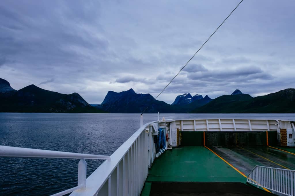
This is the only ferry connection on the European Highway 6 remaining. The crossing time is only 25 minutes and there are 15 departures a day. There is a café on board as well as restrooms. Simply drive on; your rental car will likely have an AutoPASS, and the ferry staff will scan it – that’s how to pay for a ferry!
Hamarøy (Sami name: Hábmer) is in Nordland County and the traditional district of Salten. The coat-of-arms is new; it depicts two swans as seen on an ancient rock carving seen in the municipality. The previous coat-of-arms was a lynx, which are common in the area.
The municipality is dominated by small fjords, pine, birch, and aspen woodland. There are several nature reserves here as some as some beautiful mountains, including the very unique Hamarøyskaftet, which stands 612m (2008ft) high.
Tourism in Hamarøy is linked with Knut Hamsen, the famous Norwegian author who lived in the area. The municipality also has a ferry connection to the famous Lofoten islands. Agriculture is still a dominaent industry, though the salmon slaughterhouse is also important to the municipality.
Ulvsvåg
Village
Ulvsvåg (Sami name: Ulsváhke) is a small village with all the basic facilities. However, it has an old petrol (ESSO) station from 1946, which is very cute and well worth a quick stop. The name apparently comes from a Viking called Ulv who chose to settle here.
Knut Hamsun Centre
The Knut Hamsun Centre (Hamsunsenteret) is a museum dedicated to the life and work of author Knut Hamsun. The building was designed by American architect Steve Holl (who also designed the Kiasma art gallery in Helsinki) and opened in 2009. The exhibition is structured thematically and deals with topics like Knut Hamsun’s childhood in Hamarøy, his support of Germany during World War II, and modernism in his writing.
Innhavet is a small settlement located by the Sagfjorden. It has all the facilities needed for a town of its size, including a school, grocery store and hairdresser. This is also where you’ll find the Hamarøy War Museum, as the Germans had started building a train station would would be part of the Arctic Circle train line. They were using Soviet prisoners of war to construct the train. Remains of railway and prison camps are found in the area.
Sørfold Municipality
Sørfold is a municipality in Nordland Count and the traditional district of Salten. The coat-of-arms represents a silver wheel of a turbine in a hydroelectric power plant; the rivers in Sørfold contain many rapids and waterfalls that are partly harnessed to generate electricity. It has provided a major source of income for the community.
Sørfold is about 120km (75 mi) north of the Arctic Circle and is home to Rago National Park, known for its wild nature with bare rock, streams and a pine forest.
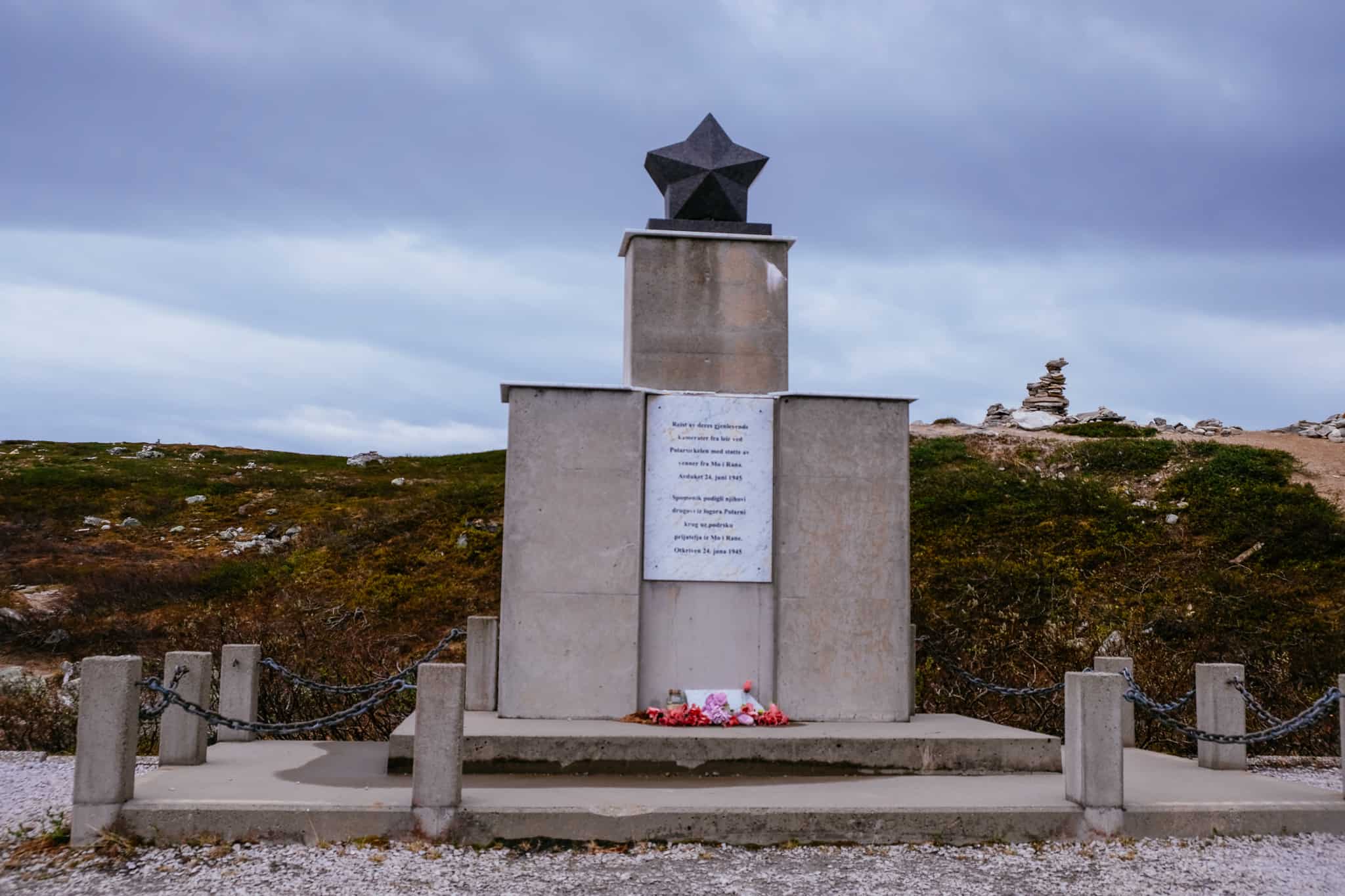
During World War II, the German army had a prisoner-of-war camp here housing Russian POWs who were building the Polarbanen (Arctic Railway) that was supposed to connect Fauske with Narvik. Some ruins of the camp and the railway can still be seen.
Mørsvikbotn
Village
This is a small village with a school and a grocery shop. The area is known for a prison camp that used to stand here during World War II. The prison camp was used for Russian POWs who were here to build the Arctic Railway between Fauske and Narvik on the Polarbanen.
Straumen
Village
Straumen is the administrative centre of Sørfold in Nordland. It has a population of around 890. The larger town of Fauske is about 12km away.
Fauske Municipality
Fauske (Sami name: Fuassko) is a municipality in Nordland and the traditional district of Salten. The name comes from a historic farm that used to be on the site, and the coat-of-arms represent a red reef knot on a grey background, showing Fauske as a centre of commerce and transportation.
Several marble quarries can be found in Fauske, and the marble is exported to many countries. Marble from Fauske can be seen on the United Nations Headquarters in New York City, for example. Dolomite quarries are also here, and there is some agriculture.
There are two large glaciers in Fauske – Blåmannsisen and Sulitjelma. Together, they cover 14% of the municipality. There are also parts of the Junkerdal National Park and the Sjunkhatten National Park in the municipality, plus several nature reserves. Fauske is located within the Arctic Circle.
Fauske has a rich Sami history, and at Leivset is a protected Sami sacrificial site. Place names in the municipality come from the Sami people.
Fauske
Town
Fauske is a town and main centre for Fauske Municipality. It has a population of 6,300 and is a fairly ‘new’ town; it was established in 1998. However, the name comes from an old farm that has been here for thousands of years. Fauske Church (from 1867) is built on the site of the farm.
Fauske is a stop on the Nordlandsbanen, which runs between Trondheim and Bodø. Despite being above the Arctic Circle, Fauske does not experience the polar night – in December, the sun rises at 11am and sets before 12pm.
Fauske is a great place to break up the drive. It has a shopping mall, petrol stations, grocery stores, and even a Scandic Hotel.
At Fauske you’ll find a turn-off to Highway 80, which will take you all the way to Bodo. Click here to visit the travel guide page for Bodo.
Saltdal Municipality
Saltdal (Sami name: Sálát) is a municipality in Nordland County and part of the traditional district of Salten. The coat-of-arms represents two gold-coloured rowan twigs on a red background, representing the nature and prevalence of rowan forests in the municipality.
The main centre of the municipality is Rognan, which sits on the southern shore of the Saltdal Fjord. A major historical industry was boat building out of local timber. Today it is Nexans, a global fibre company. The company’s Rognan factory specialises in telecommunications, fibre optics and copper cables.
Rognan
Village
Rognan is the main town for Saltdal municipality and is located at the innermost part of the Skjerstad fjord.
The main industry here is the optical cable factory of Nexans. The Nordland Line between Trondheim and Bodø stops in Rognan, too. Rognan has the “Blodvei Museum”, a museum about the Nazi’s attempt to build a railway between Fauske and Narvik.
Rognan has a grocery store, hotel, camping ground and petrol station.
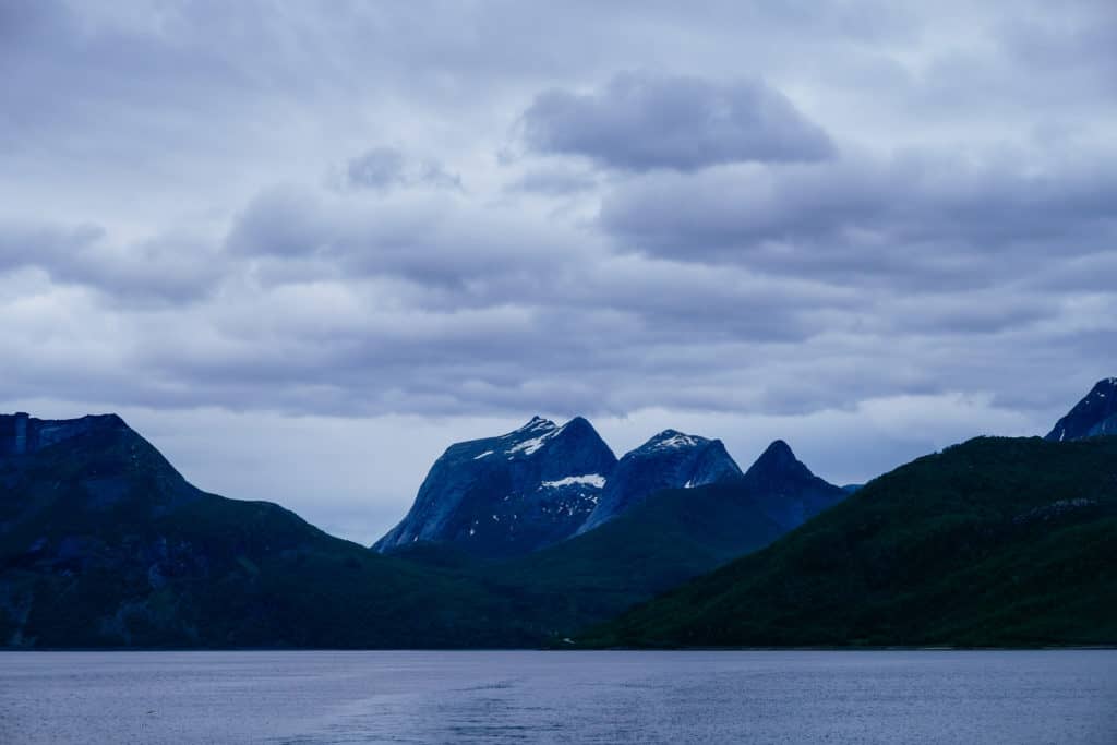
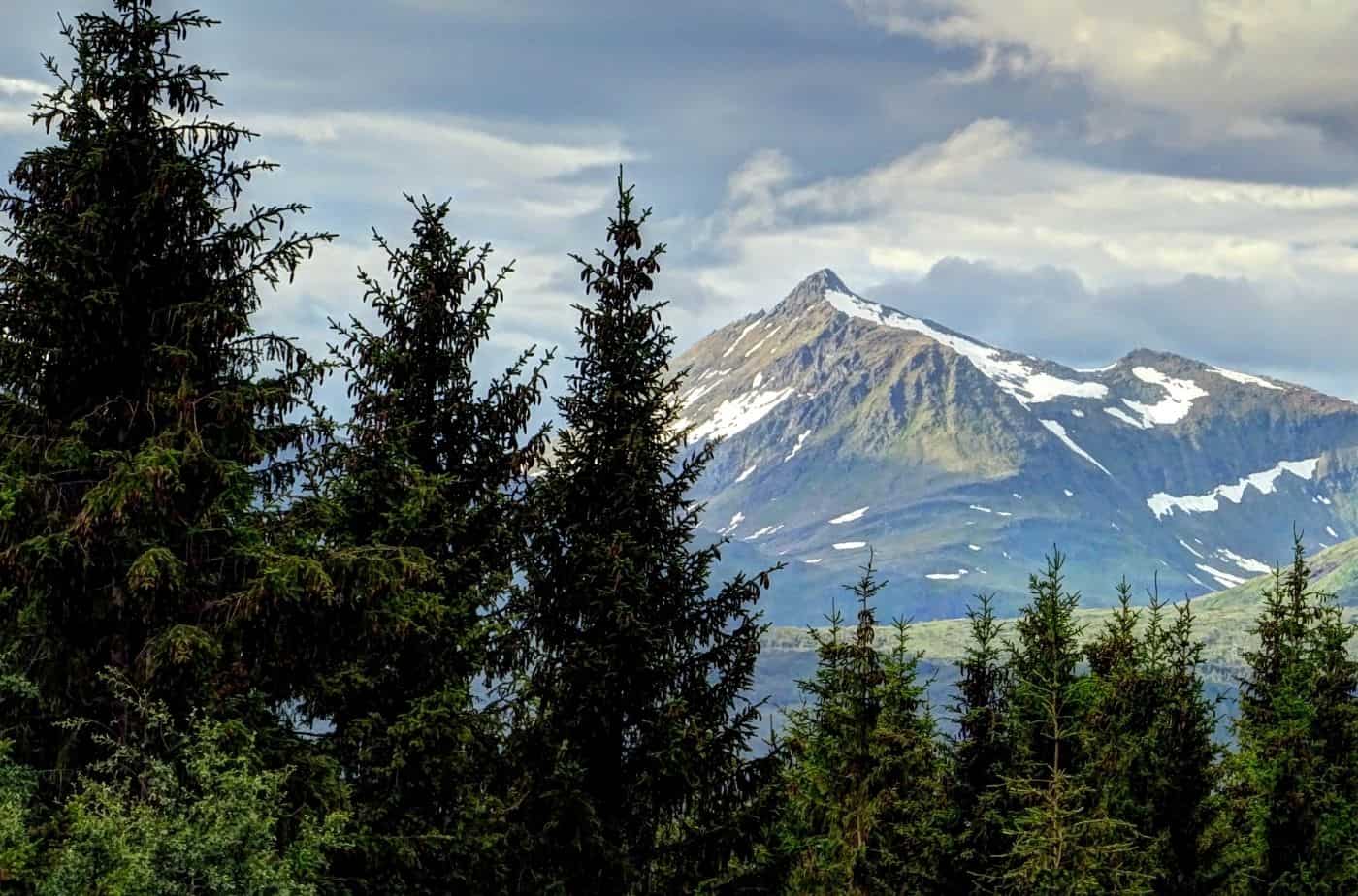
Saltfjellet-Svartisen
National Park
This park is a national park that has the European Highway 6 and the Nordland Line running through it, which makes it pretty special. It is one of the largest and most varied national parks in Norway, with alpine mountains, glaciers, as well as forested valleys. In this stretch, we see the Saltfjellet mountain range.
Many Sami cultural landmarks are within the park, too. Some of the oldest Sami monuments are from the 9th century and include sacrificial sites, animal graves and fences. Today’s domestic reindeer husbandry has its roots from the 16th century.
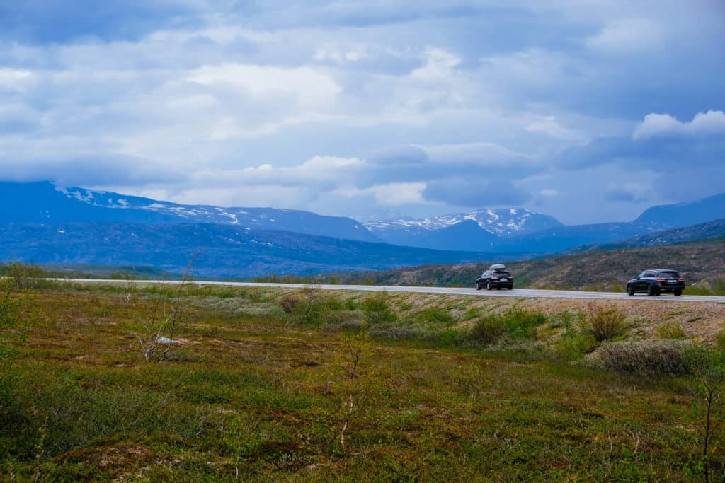
The Saltfjellet Mountain Range has peaks reaching up to 1,751m (5,745ft) above sea level. In the park you will see lots of reindeer, but there are also wolverines and lynx. In the valleys are plenty of moose. Cabins are available to rent within the park if you wish to spend a longer period of time here.
We drive through the eastern part of the park.
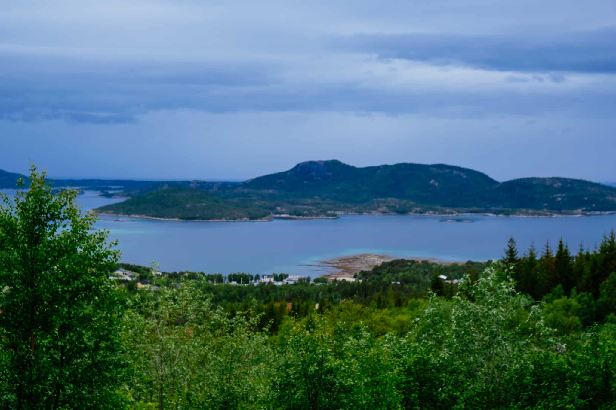
Rana Municipality
Rana is a large municipality within the Helgeland traditional region. The main city is Mo i Rana, where this drive finishes today. The municipality is located just south of the Arctic Circle, and the municipality is famous for their numerous caves due to the limestone rock.
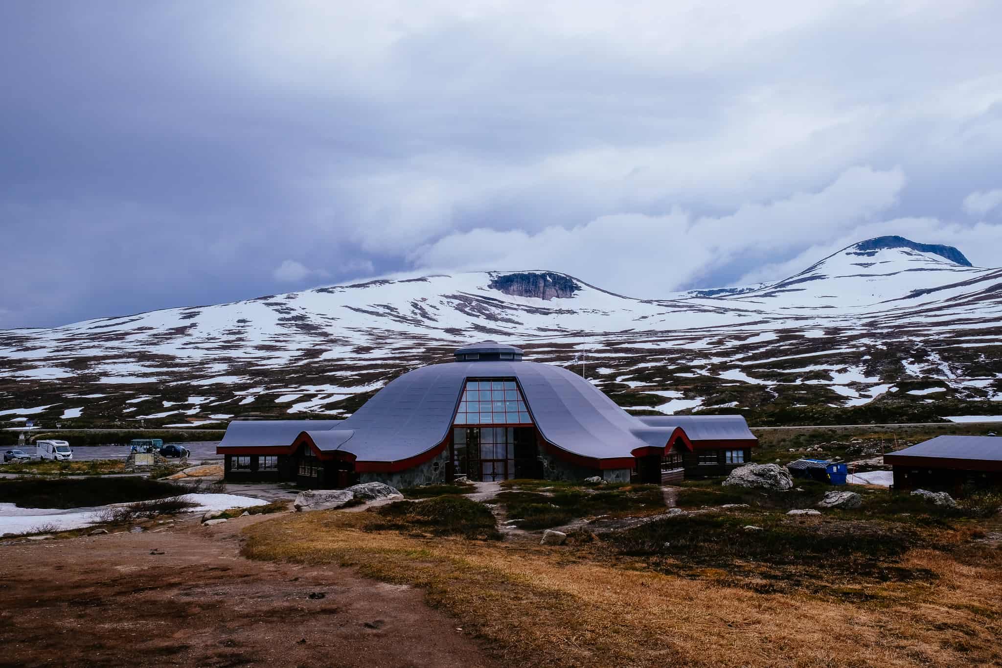
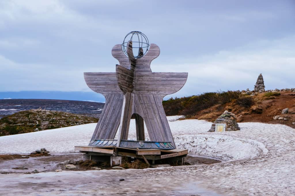
Arctic Circle Centre
Visitor Centre
The Arctic Circle Centre is a fun little roadside stop to get some souvenirs, snacks, and take some photos of yourself on the Arctic Circle. The centre opened in 1990, the same time the E6 highway over the Saltfjellet mountains was completed.
Eiterå
Village
Eiterå is a small farming settlement in Rana. It is one of the oldest areas in Rana municipality; the land was cleared for farming in 1723 and four farms were established into the areas. The farm buildings still stand today and are operated by the descendants of the original owners.
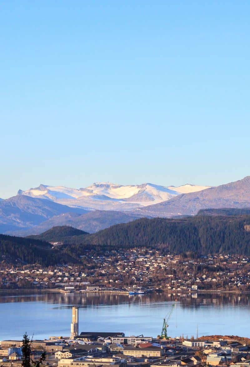
Mo i Rana
We have now arrived in Mo i Rana! You can find a detailed version of Mo i Rana over on our travel guide.