
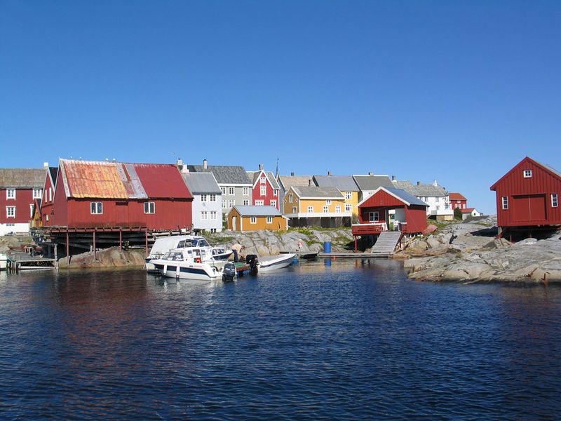
The History of Longyearbyen
The American industrialist John Munro Longyear visited Spitsbergen in 1901 as a tourist and met an expedition prospecting for coal. Two years later he came back and got more information on the coal fields. Longyear bought the Norwegian claims on the west side of the Adventfjord, and in 1906 started the Arctic Coal Company. Mine 1a was the first mine to operate at Longyearbyen. The company had American administration but mostly Norwegian labourers and they built accommodation and docks for the workers. The name of the settlement – Longyear City. The aerial tramway that is still visible on the mountainside was used to transport the coal from the mine to the port. Mine 2a opened in 1913.

The American-owned company did not last too long. Financial difficulties during World War I led to the mining operations being bought by the Norwegian company Store Norske, which was incorporated in Oslo in 1916. Store Norske built five new barracks and a hospital. Store Norske owned a great deal of the town. Store Norske even had their own money (with approval from Norges Bank), consisting entirely of banknotes at par with the Norwegian krone.
Mine 1 closed in 1920 after 26 men were killed in a coal dust explosion. Remains of the mine are still visible on the mountainside.
During World War II, Longyearbyen gained strategic significance due to its coal resources and suffered bombings by German forces in 1943. Initially Longyearbyen was unaffected by the war, but soon it became clear that Svalbard was of strategic important. On 3 September 1941 the population (765 people) were evacuated from Longyearbyen to Scotland. A small Nazi garrison and air strip was established in Adventdalen, mostly to provide meterological data. After the British Operation Ftirham regained control of Barentsburg, the Nazis left Longyearbyen without combat.

In September 1943, the Kriegsmarine dispatched two battleships, Tirpitz and Scharnhorst, and nine destroyers to bombard Longyearbyen, Barentsburg and Grumant. Only four buildings in Longyearbyen survived – the hospital, power station, office building and a residential building. The first ship leaving the mainland to repopulate Longyearbyen left on 27 June 1945.


