
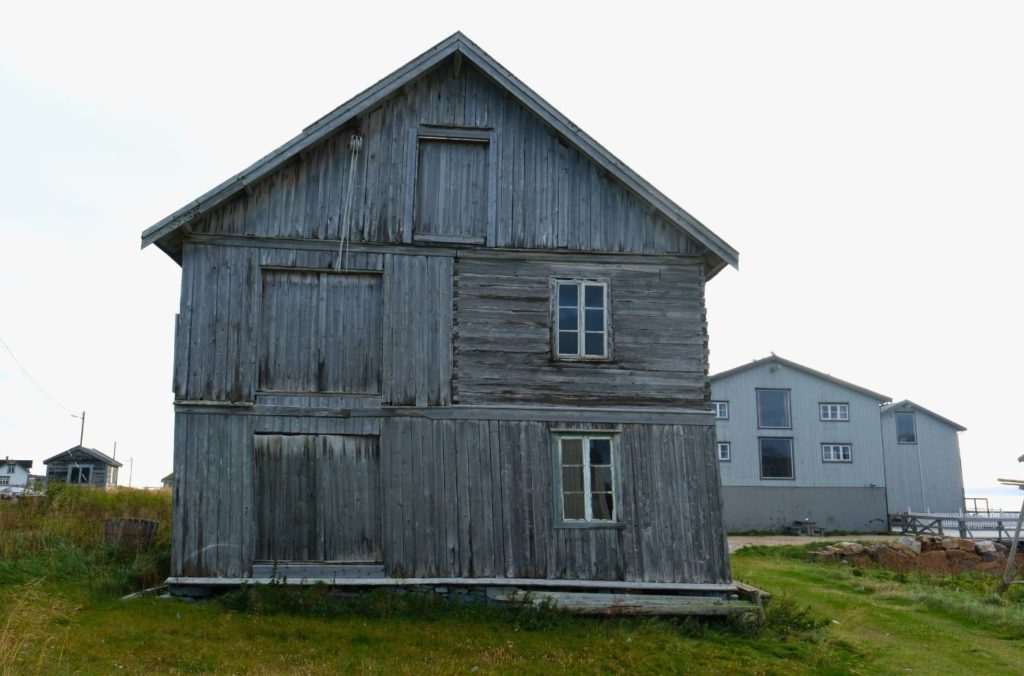
Hamningberg: Norway’s Arctic Ghost Town
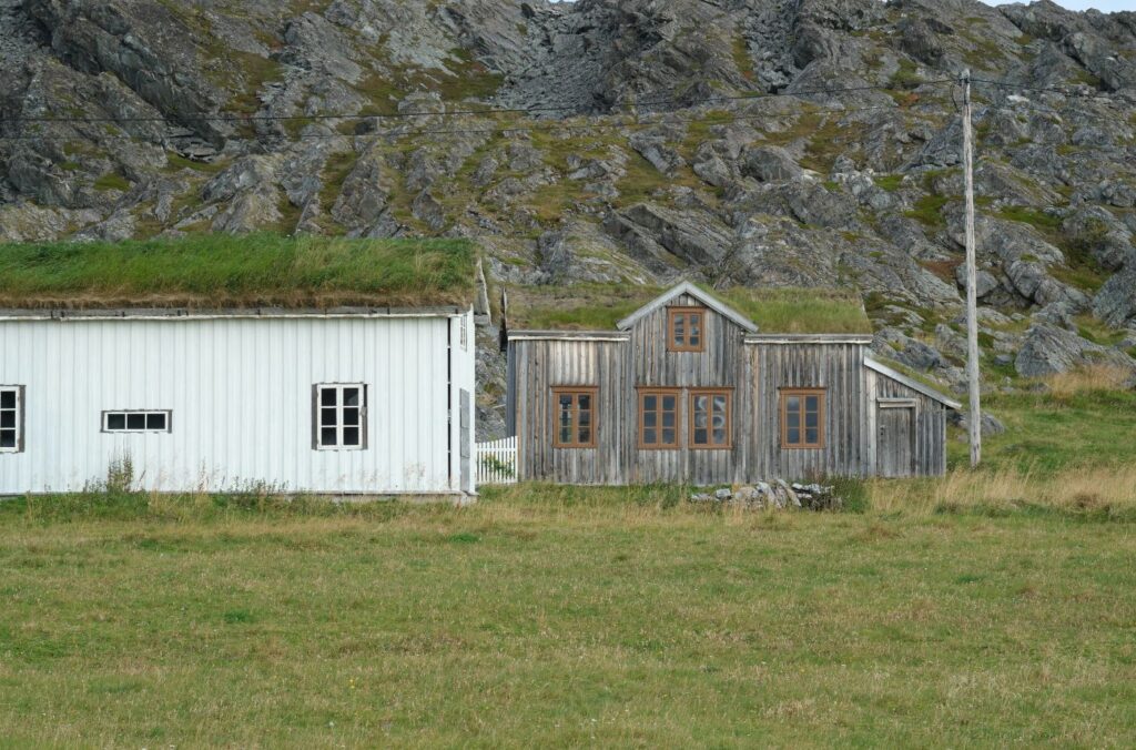
Located at the end of the Varanger Tourist Road, Hamningberg is a well-preserved ghost town that used to one be a hub of trade between Norwegians and Russians!
A Brief History of the Pomor Trade
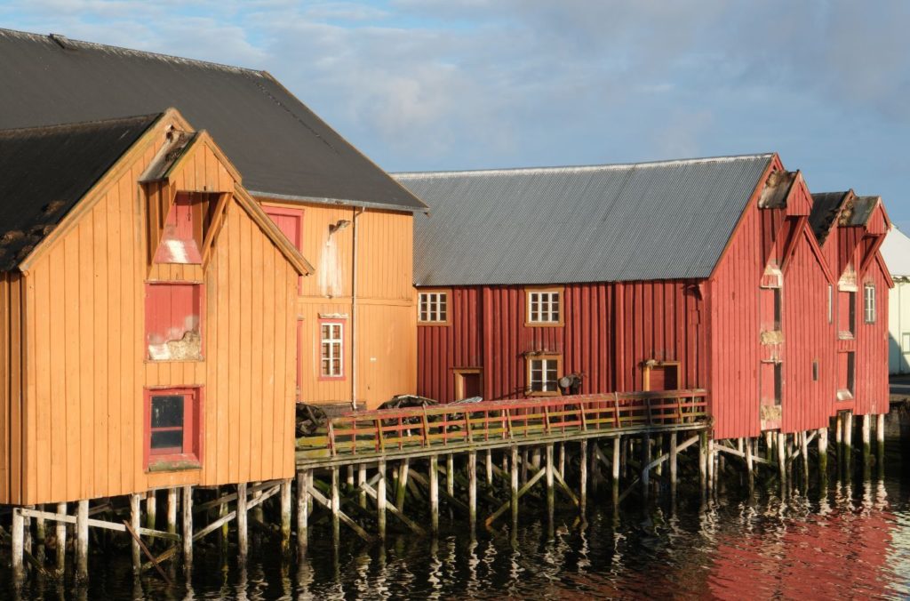
Discover the Pomor Trade: Uncover how Russian settlers shaped Northern Norway. Learn about the heritage left by the Pomor, a ethnographic group from Novgorod, at Vardø.
Explore Vardø on a Self-Guided Walking Tour
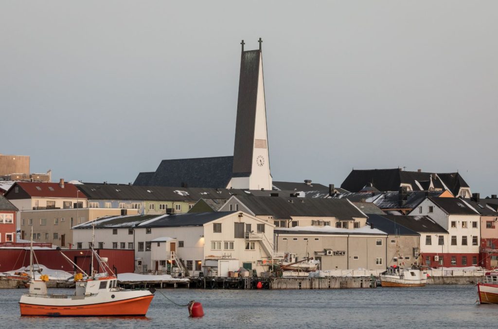
This self-guided walk passes by Vardø’s historic sites, including the fortress, witch memorial, and trade warehouses.
The Witchcraft Trials of Vardø
Learn about an often forgotten part in Norwegian history, the witchcraft trials of Vardø.
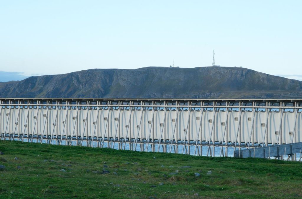
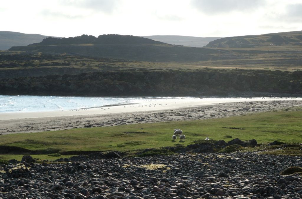
Drive it Yourself: Varanger Tourist Road
Follow Norway’s northernmost tourist road along the east coast of the Varanger peninsula from Hamningberg to Varangerbotn.
Drive it Yourself: Kirkenes to Vardø via the E6 and E75
This guide crosses the far-north of Norway from Kirkenes to Vardø via the Varangerfjord and Varanger peninsula.