The short drive from Varangerbotn to Berlevåg is incredible. After venturing off the E6 highway, you cross the Kongsfjordfjellet mountains, leave the tree line, and then drive alongside the Barents Sea. The last part of the drive – nicknamed the ‘Arctic Sea Road’ – is considered one of the best geological areas in Norway.
The road often closes in winter, so this is only a summer drive.
In this article...
Download this Guide
All of our guides can be downloaded via our online store.
We offer downloadable versions of our self-guided drives on our online store.
All of our guides come with Google Map links, making it easier to navigate your road-trip!
Facilities including supermarkets, toilets, petrol, hotels, cafes, restaurants with addresses.
Watch on Youtube
All of our roadtrips are available on YouTube to watch. They include information about the area provided in text and voiceover form, plus they show the drive in full (sped up in some spots!) so you can get an idea what the drive is like.
Varangerbotn is a small village that is the administrative centre of Nesseby. The population is around 341. In Varanger you can visit the Varanger Sami Museum, a museum for the history and culture of the Sami in Varangerbotn. The museum presents the Sea Sami history, Sami prehistory, and contemporary Sami culture.
Tana-Deanu Municipality
The Sami word “Deanu” The Sami word can be translated as ‘great river’, referring to the Tana River. The population of the municipality is around 2,800, with the population currently declining.
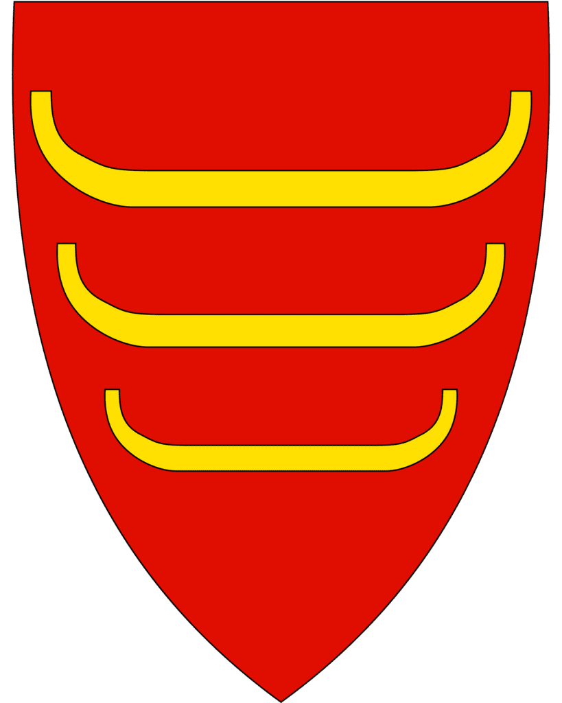
The coat-of-arms represents riverboats that have been used in the area for centuries. The three boats symbolise the three ethnic groups here: Sami, Kven and Norwegian, and the colours mimic the red and yellow of the Norwegian coat-of-arms.
The most important industries are agriculture or timber. The world’s northernmost dairy is Tine in Tana Bru, and it employs around 30 people.
The municipality is located along the lower river basin of the Tana River. Most of the inhabitants are Sami people. The river is one of Europe’s main salmon rivers, though no large-scale commercial fishing is done.
Skiippagurra
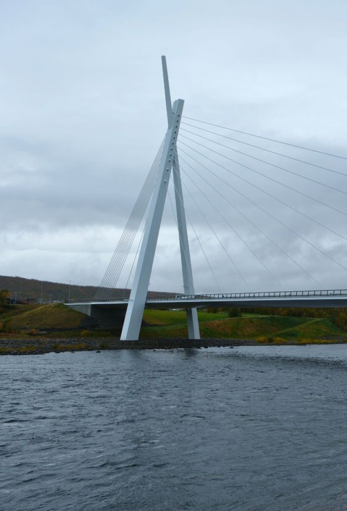
Skiippagurra has a population of around 254 residents and is a historic trading place. This is where the E6 stops following the Tana River and continues across to Kirkenes.
Tana Bru
This is the main village in Deanu-Tana. Tana Bru means ‘Tana Bridge’ in English and is named after the bridge that crosses the river to the village of Skiippagurra on the other side of the river.
At Tana Bru, leave the E6 and follow signs to Berlevåg.
Austertana
Village
Austertana is a small village located along one of the inner bays of the Tanafjord. The village is home to both the Austertana Chapel and the world’s second largest quartzite quarry. Most of the town was destroyed by Nazis at the end of World War II.
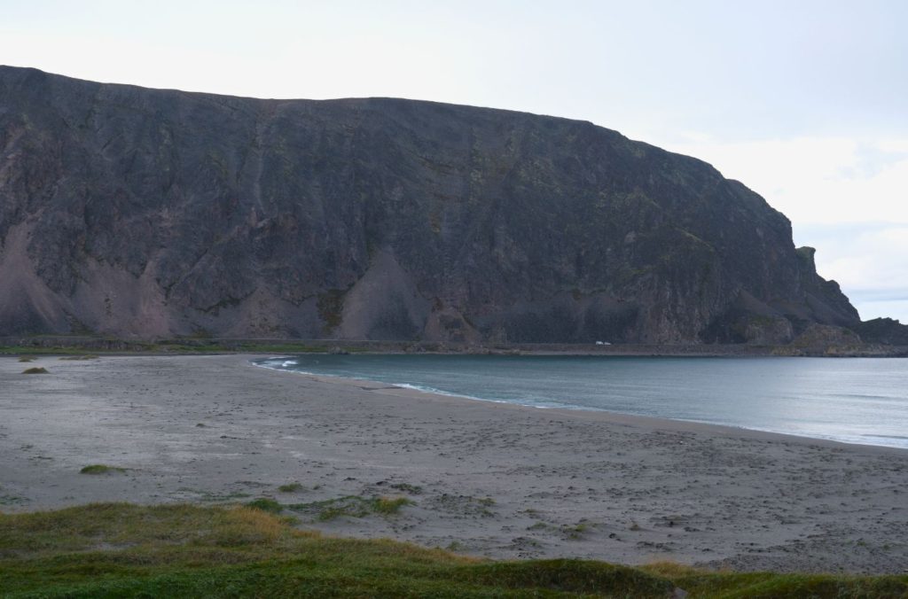
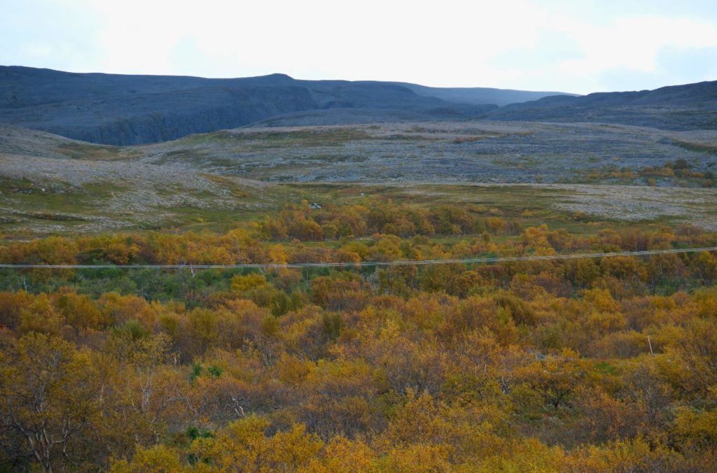
The highest mountain on the Varanger peninsula, named Stangenestind, is 724m above sea level and is at Austertana. The northernmost point of the Scandinavian birch forest is also here. In Austertana you can find Norway’s longest sandy beach; it is 13km long.
After Austertana you pass through a boomgate. The road to Berlevåg often closes in winter due to snowstorms, isolating the town from the rest of Norway. The daily coastal ferry (Hurtigruten and Havila) is an essential service during this time.
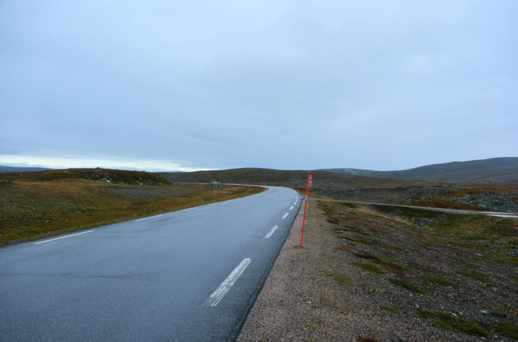
Kongsfjordfjellet
Mountains
You now cross the Kongsfjordfjellet mountain, which is 326m (1069ft) above sea level.
Berlevåg Municipality
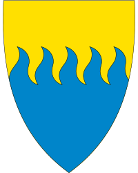
Berlevåg municipality is located on the northwestern part of the Varanger peninsula. Most of the settlement is concentrated around the village of Berlevåg, though Kongsfjord is the second largest settlement. The coat-of-arms represents the municipality’s dependence on the sea – the waves towards the beach. The five waves represent the five places with permanent settlement.
Buetjernet
Settlement
Buetjernet is located just after the turn-off from the road to Båtsfjord. There is no permanent settlement here; these are all cabins.
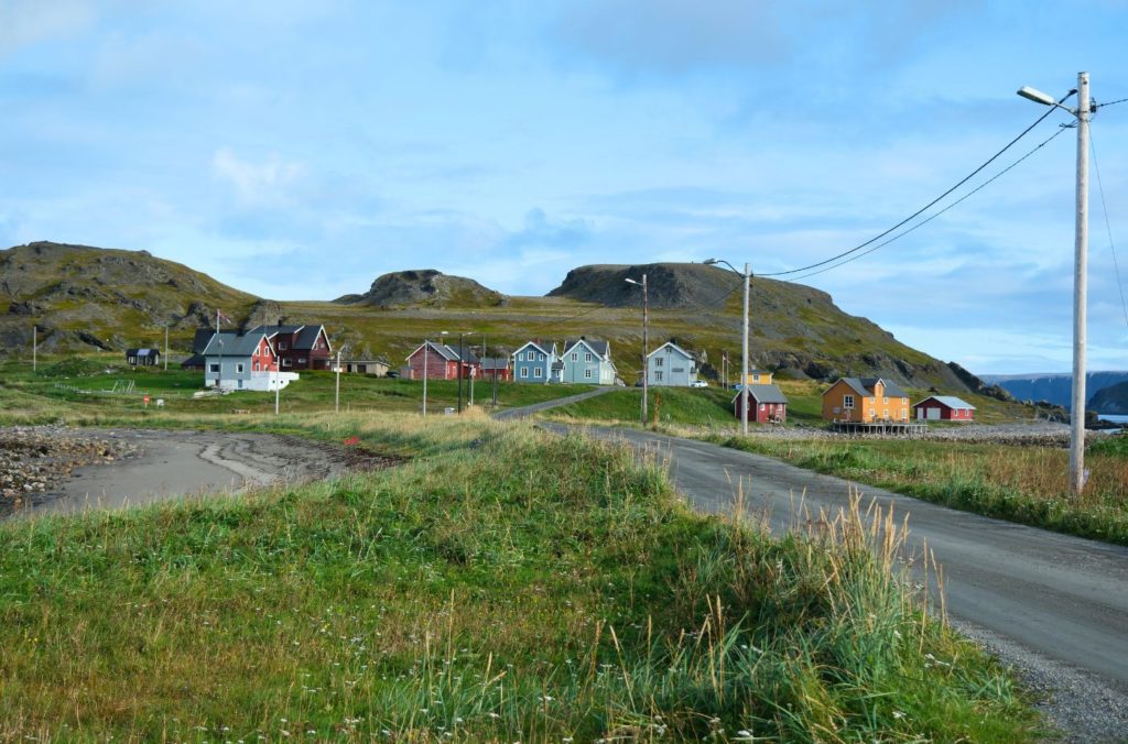
Kongsfjord
Village
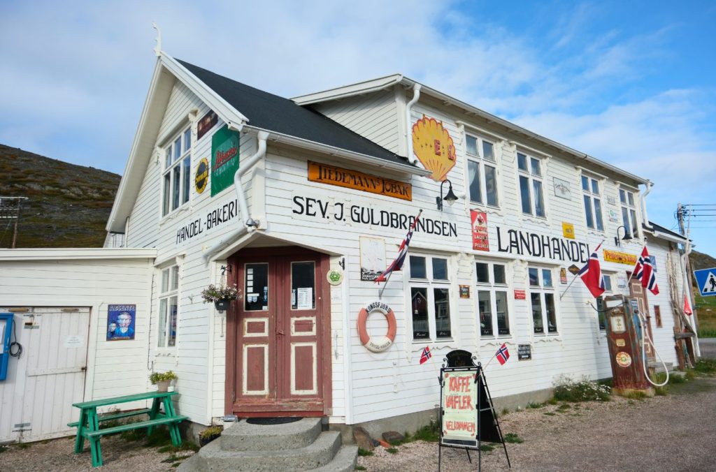
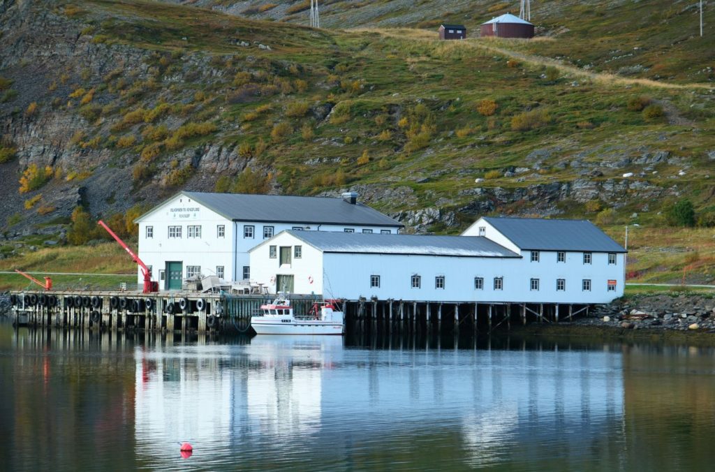
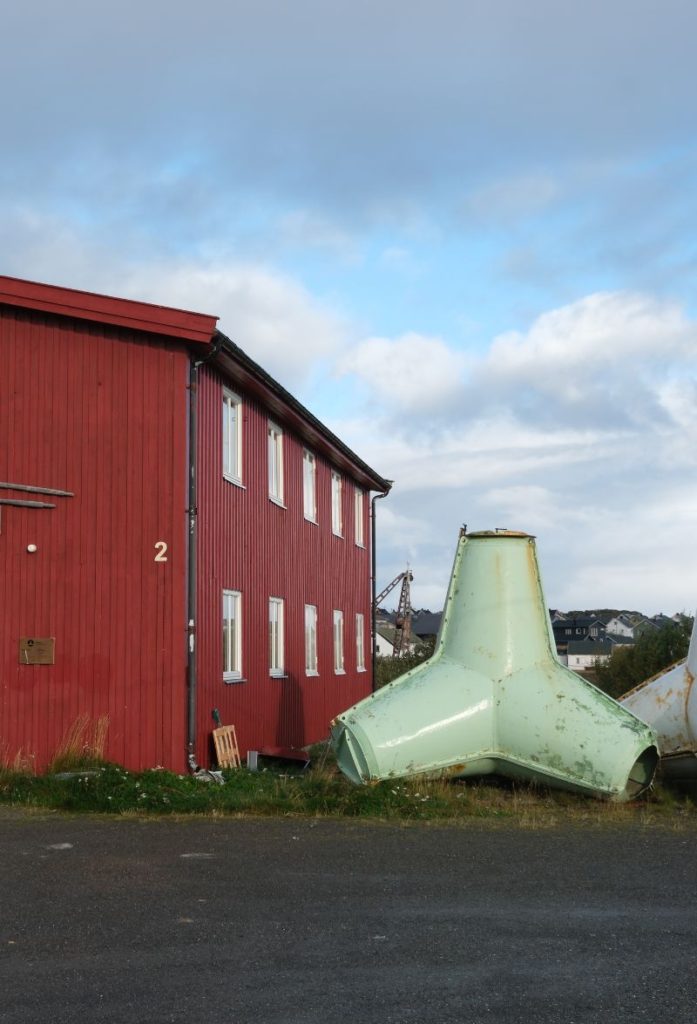
Kongsfjord is a small fishing village with a population of around 32 people. It has been inhabited for hundreds of years and Kongsfjord is one of the few fishing settlements that wasn’t destroyed during World War II. The Kongsfjord River has special protection as a salmon river, and parts of the fjord are protected as a special landscape.
The local shop (pictured top left) is full of charm and is a must-see when driving here.
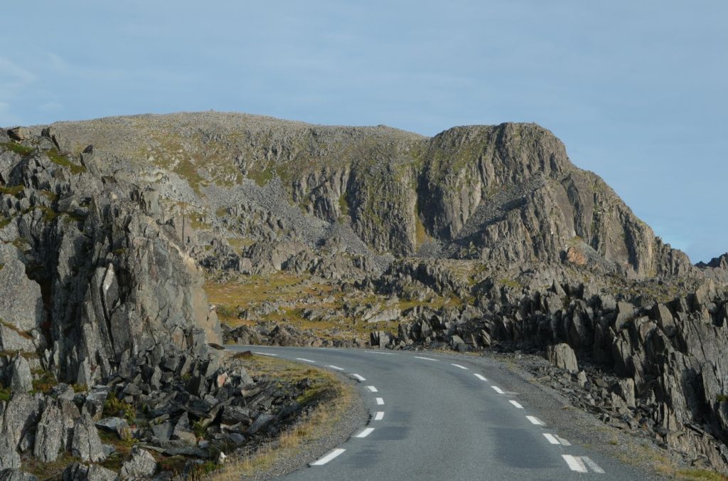
Ishavsveien
Road
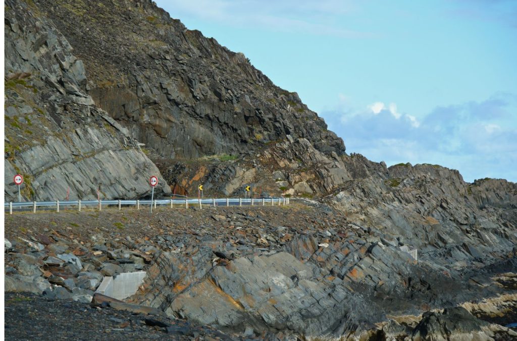
The road is commonly called Ishavsveien and is fascinating for those interested in geology as there’s no soil or vegetation concealig the various types of rock, sediments and rock formations. Prehistoric shorelines here show how the land has risen.
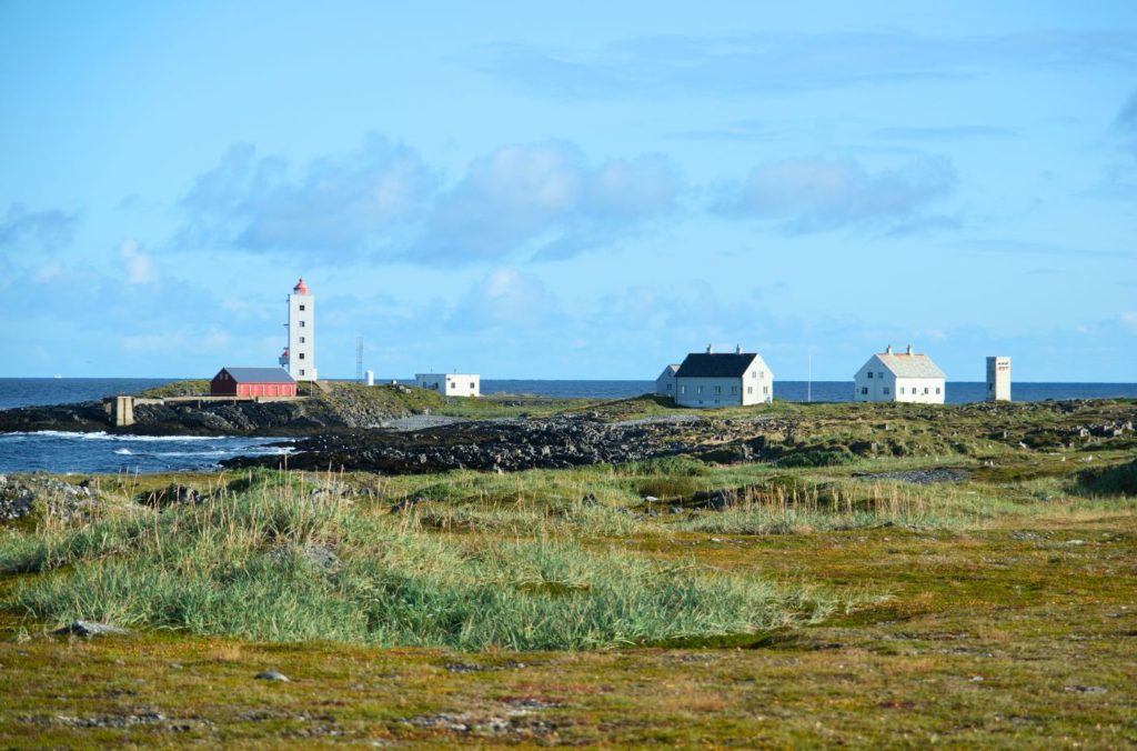
Kjølnes Lighthouse
Lighthouse
Varangerbotn is a small village that is the administrative centre of Nesseby. The population is around 341. In Varanger you can visit the Varanger Sami Museum, a museum for the history and culture of the Sami in Varangerbotn. The museum presents the Sea Sami history, Sami prehistory, and contemporary Sami culture.
Berlevåg
Welcome to Berlevåg! Berlevåg is a small fishing community facing the Barents Sea. Berlevåg is famous around Norway for its mens choir!