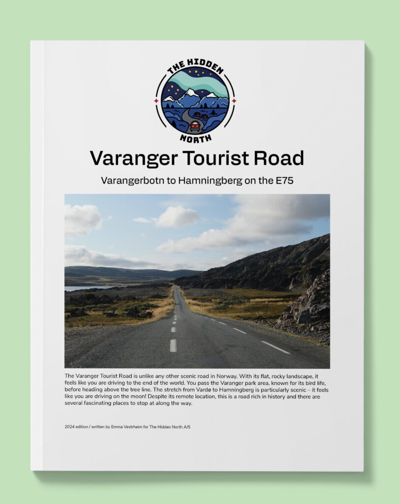
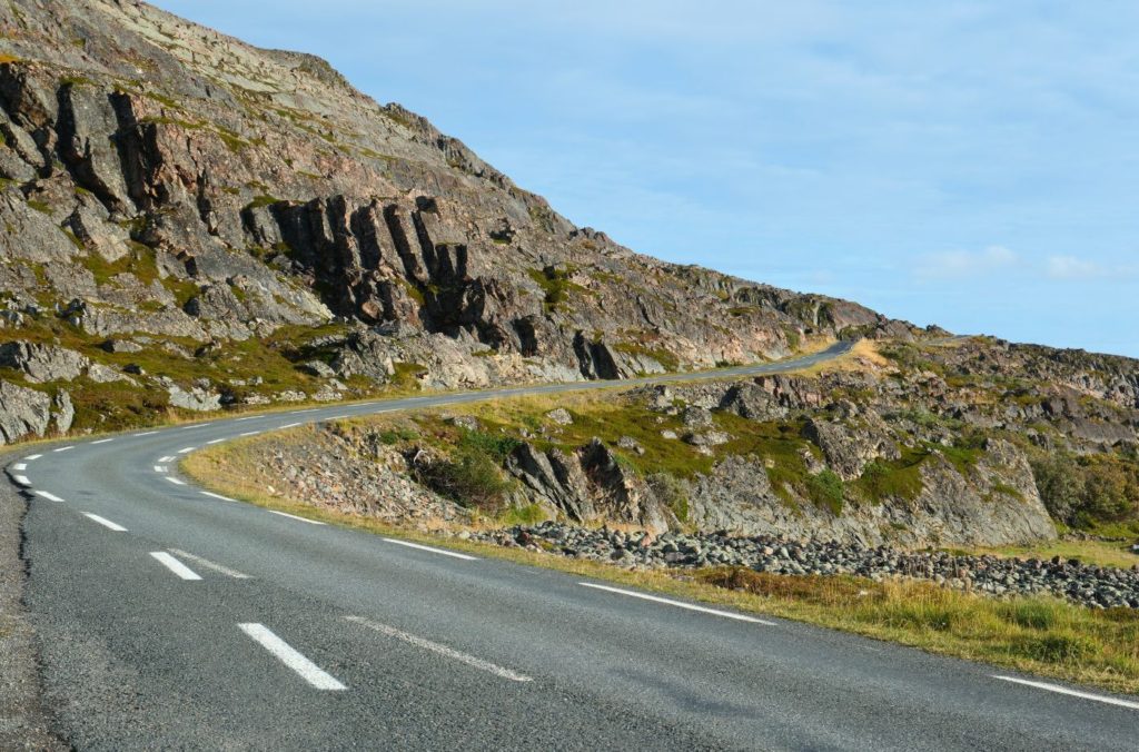
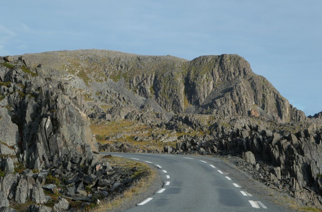
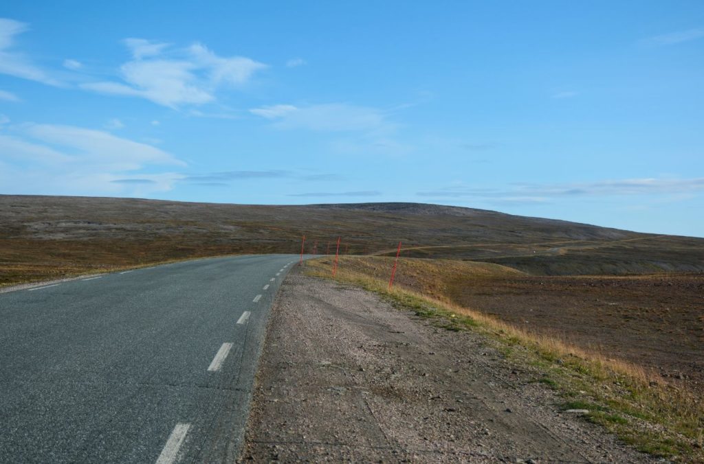
The Varanger Tourist Road is one of Norway’s 18 national tourist roads and is definitely one of the most special. The Varanger Peninsula is a rugged mountain area partly covered in birch trees and partly above the tree line. Parts of the peninsula used to have an Arctic tundra climate but don’t any more. Still, the geology here is unique as most of the landscape was made before the last Ice Age.
The route is so special – you see lunar landscapes, flat plains, rolling hills and birch forests. You also pass sights with history and sites going back 10,000 years, abandoned fishing villages, and so much more.
Enjoy the Varanger Tourist Road.
In this article...
Download this Guide
All of our guides can be downloaded via our online store.
Download this guide to have it as a PDF ready to go for your road-trip!
All downloadable guides come with an interactive Google Map for easier navigation.
Facilities including supermarkets, toilets, petrol, hotels, cafes, restaurants with addresses.
Watch on Youtube
All of our roadtrips are available on YouTube to watch. They include information about the area provided in text and voiceover form, plus they show the drive in full (sped up in some spots!) so you can get an idea what the drive is like.
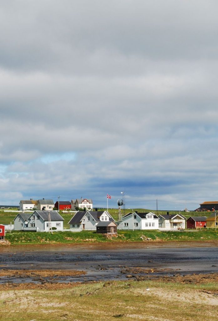
This drive begins in Hamningberg, which is an abandoned fishing village with many buildings from before World War II.
Before the Second World War, around 700 people lived here. Hamningberg was one of the largest fishing communities in Finnmark and took part in the Pomor trade. However, the last three people left in 1978.
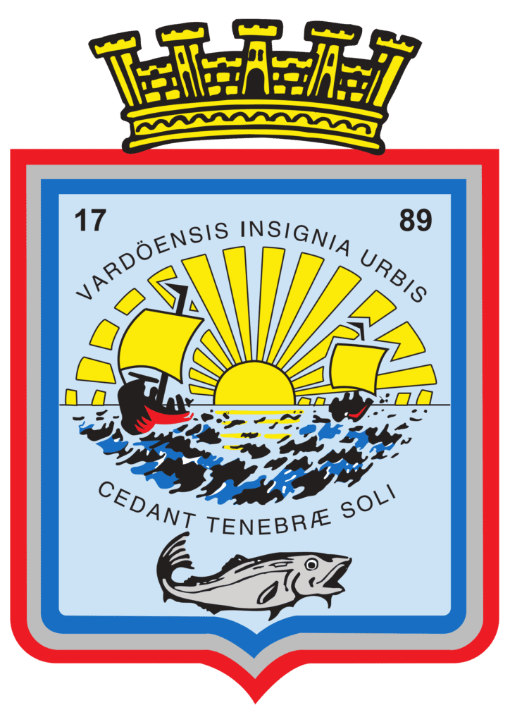
Vardø municipality is one of the first municipalities to be established in Northern Norway. The coat-of-arms is from 1898 and represents the sunshine, fishing boats, the ocean, and a large cod. In the chief is the year of the towns founding, 1789, along with the words “Vardöensis Insignia Urbis” which means “the seal of the town of Vardø”. In the lower part of the arms is the town motto “Cedant Tenebræ Soli”, meaning “Darkness shall give way to the sun”.
Several Stone Age sites as well as sites dating from the Sami Iron Age have been found here. Vardø became a Norwegian settlement in the medieval period, and the first church was built here in 1307.
Fishing and seafood processing are Vardø’s major sources of income. The municipality also has large seabird colonies on the islands of Hornøya and Reinøya.
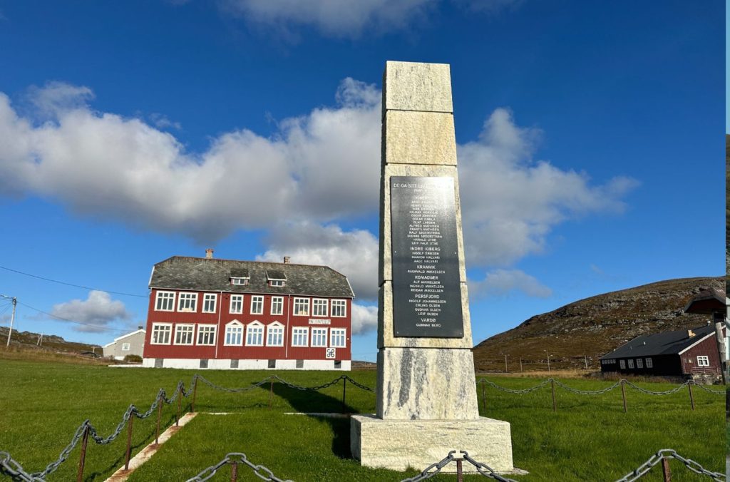
WWII Memorial
Memorial
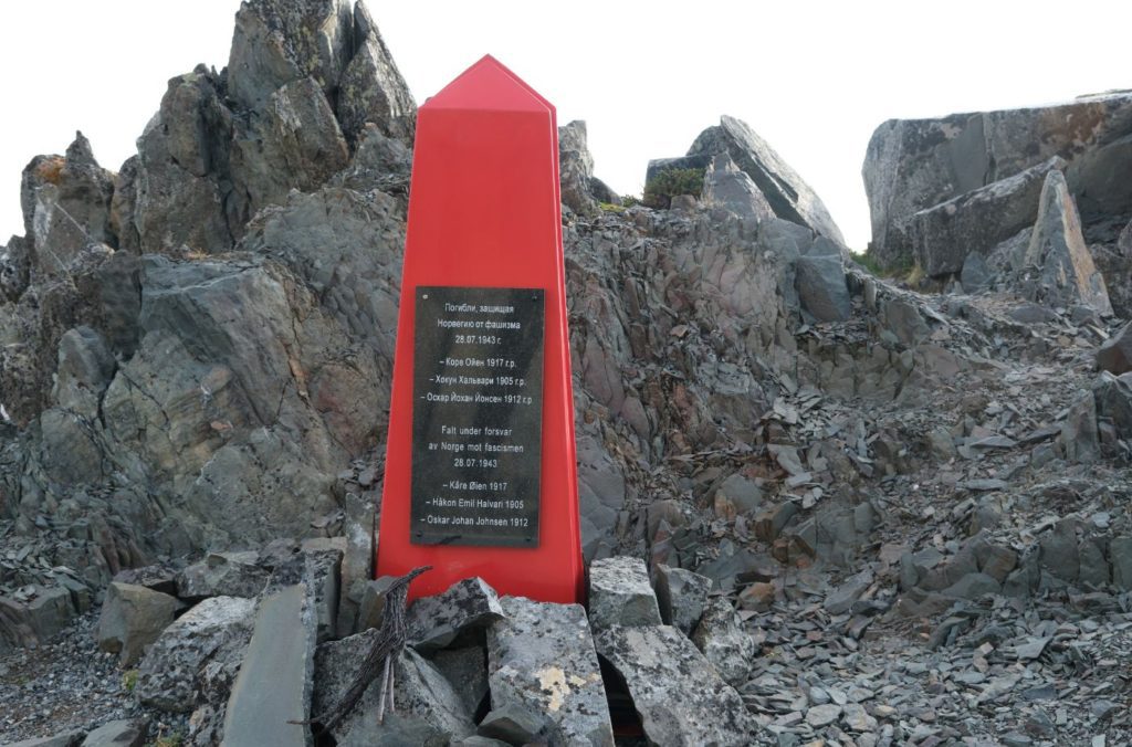
Shortly after crossing into Vardø municipality you will pass this memorial on the left side. It is for three men who were executed here during World War II.
The drive from Hamningberg to Vardø is incredible. Be sure to stop as much as possible!
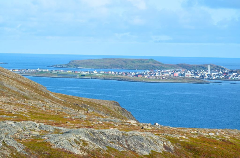
Vardø
The road does not go through Vardø, but the town is a short detour off the highway. I do recommend visiting the town – there’s a lot to see and do, and it also has a petrol station and some coffee shops.
The mountain Domen is fairly unique thanks to its history. It has been known as ‘Heksefjellet’ (witch mountain) for a few hundred years as it’s believed that this is the place where the witches were meeting with the devil.
The Vardø area was regarded as one of the worst areas in terms of the scope of the brutal witch hunts. In the year 1662/63 more than 30 women in Vardø were accused of witchcraft. Many of the women said that on the mountain Domen they had danced, drunk and consorted with the Devil. Domen was also where the ceremonies and sabbaths took place.
It was believed that the devil lived in a cave in the mountain. Vardø’s location at what seems like the end of the world inspired speculation that this was the entrance to hell. This may explain why so much witch burning went on.
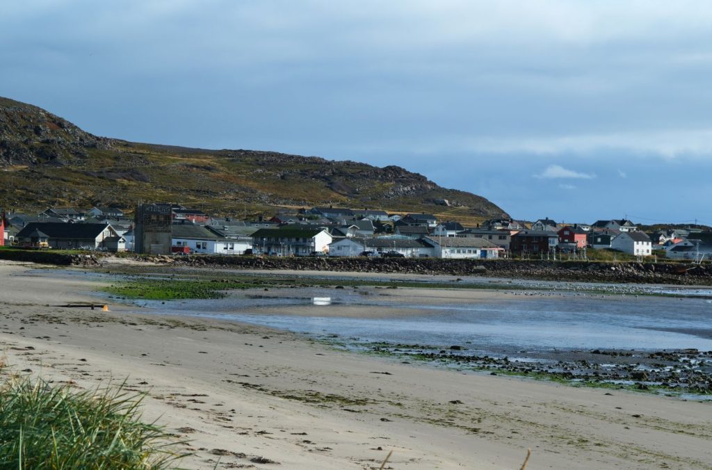
Kiberg
Village
Kiberg was one of the largest fishing communities in the area during the 16th and 17th centuries, and was important during the Pomor Trade era. Kiberg is still important for fishing.
Two women from Kiberg were burned at the stake during the 1621 witchcraft trials in Vardø. Their names were Mari Jørgensdatter and Kirsti Sørensdatter, and Kirsti was the last victim of the witchcraft trials.
Kiberg was of strategic importance during World War II. The geographical proximity to the Soviet Union brought Russian and Norwegian people together. After the occupation of Norway, many locals went to the Soviet Union. Some returned and worked for the Soviet military intelligence services, with as many as 45 partisans in Kiberg.
Their most important task was to pass on radio communications about the German shipping fleet. It has been estimated that around 80 German merchant ships were sunk on their way to Kirkenes due to the partisans passing on information. Around half the partisans were killed or executed during the war.
In Kiberg you can visit the Partisan Museum, which is about the events here during World War II.
Vadsø Municipality
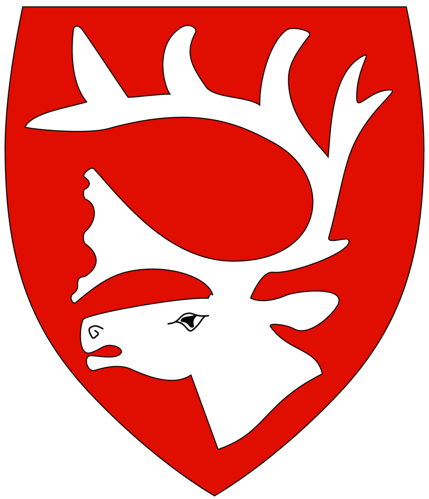
Vadsø municipality is named after the town of Vadsø that we will soon be driving through. The coat-of-arms shows a reindeer as reindeer husbandry is common for the municipality and of great economic importance, especially for the Sami people.
The municipality spreads across the southern coast of the Varanger peninsula. There are trees here as this part of the peninsula is sheltered from the sea, but the tree line is at around 200 metres above sea level.
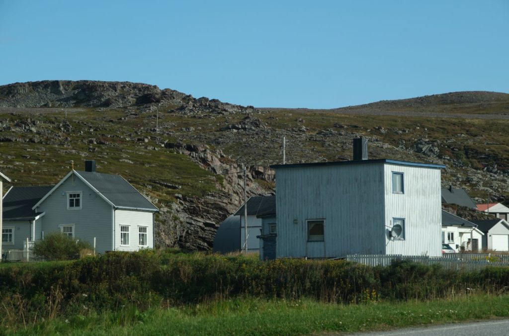
Skallelv
Village
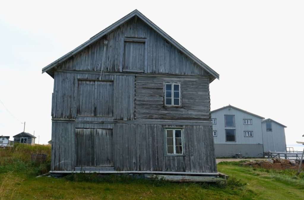
Skallelv was originally one of the several purely Finnish communities in the area, populated at the end of the 19th century. The local people were known as Kvens, the North-Norwegian name for people of Norwegian-Finnish descent. Skallelv is one of the few remaining areas with buildings that were constructed before World War II. The oldest wooden houses here are from before 1860.
Ekkerøy
Village
There has been settlement on Ekkerøy since at least the Middle Ages, and finds from the Viking Age have been found there. However, it is not known if Vikings settled there or if they traded there.
Ekkerøy was an island until 1750, but now there is a land connection to the mainland. Ekkerøy was built up as a fishing village and at its peak had several landing piers, shops, a school, shrimp factory, fish oil processing plant, and dried fish racks. There were 270 people living there; today there are less than 50.
Parts of Ekkerøy have been declared a nature reserve and the island also has a small bird cliff. In the breeding season, which is from May to September, the cliffs may be home to as many as 20,000 kittiwake pairs.
The settlement of Ekkerøy was not destroyed during World War II. The well-preserved fish factory is now a museum with warehouses, a cod liver oil steamer, an old shop and an authentically furnished traders residence.
Vadsø
The only major town we drive through is Vadsø. There is a lot worth seeing here, so browse our separate travel guide page below.
Vestre Jakobselv is a small village with around 500 people living here. It has a primary and secondary school. The village is popular for its salmon fishing as the Jakobselva river has its outlet here.
Nesseby Municipality
Nesseby is a small municipality located at the isthmus between the Varangerfjord and the Tana River at the entrance to the Varanger peninsula. The population lives in small settlements along the fjord and the Varangerhalvøya National Park is partly located in the park. The municipality is known for its interesting birdlife and also its tundra with areas of bog and marsh.
Today the municipality is known as Unjárga-Nesseby, reflecting the Sami community who live here. Nesseby was the second municipality in Norway to get a Sami name. Most of the inhabitants are Sami and Sami is being taught as the first language in schools. In historic times, reindeer used to cross this area as part of their annual migration.
This led the Sami to coming into the area. The area between Skippagurra and Varangerbotn is full of archaeological finds from different periods.
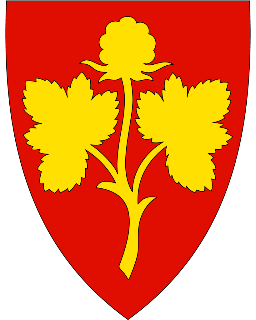
The coat-of-arms represents a cloudberry plant.
The municipality is the birthplace of Isak Saba, the first Sami to be elected to the Norwegian parliament.
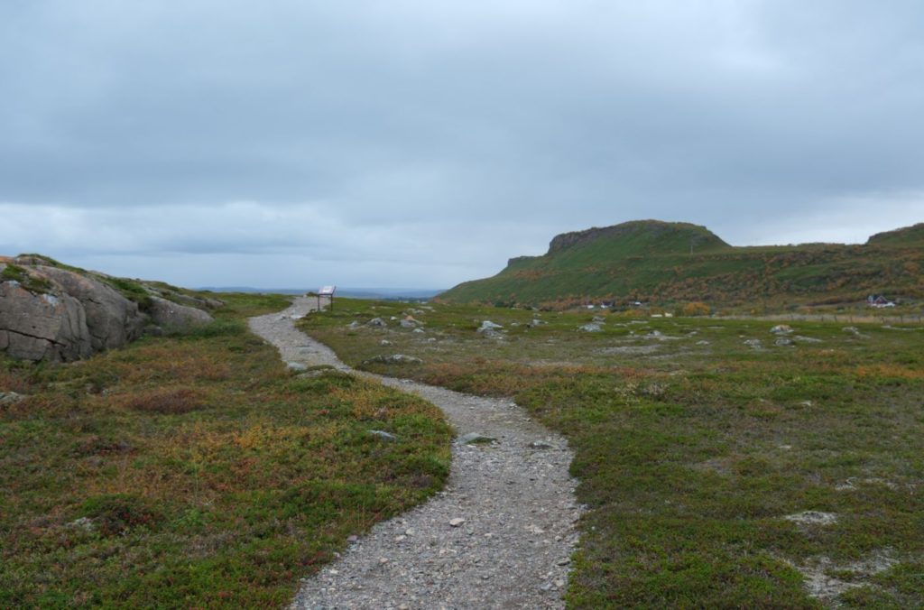
Mortesnes Site
Historic Site
Mortesnes is considered to be one of the richest and most diverse cultural areas in Europe. The uninterrupted timeline and cultural contunity makes the area special. The land here has remains from the past, documenting a 10,000 year history of unbroken settlement and provides a picture of key feature in the development of the settlement of Finnmark after the last Ice Age. The area also provides a picture of the background and emergence of Sami cultural features.
There is a walking trail that you can follow. Here you can see traces of settlement in the form of tent rings and tufts on the shorelines according to the past sea levels. The area also contains a large, pre-Christian burial ground, which dates from approx. 1000BC to 1500AD. Over 400 graves are here. Various sacrificial places have also been found. The most famous monument here is Transteinen, which was believed to be smeared with cod liver oil to ensure good fishing luck.
One of the oldest ski finds in Norway comes from one of the graves in the area and was found in 1853. The skis are from 400BC. Reindeer trapping facilities have also been found here, along with various materials, tools, and objects made of ceramic and metal.
It is free to walk around the trail, and in summer they have a museum that you can visit.
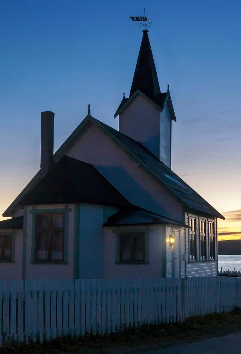
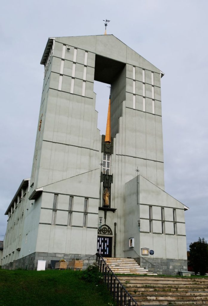
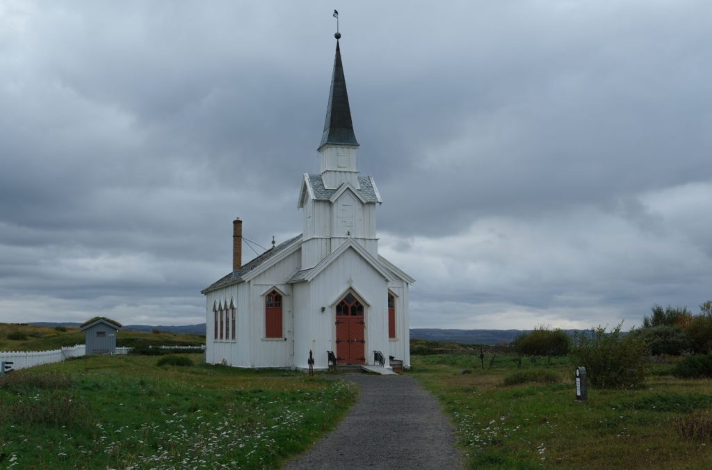
Nesseby Church
Historic Church
Nesseby Church is from 1858 and is the only wooden church in Eastern Finnmark that was not destroyed by the Nazis during World War II. Parts of the inventory are from the 17th and 18th centuries and some come from other churches. For example, the altarpiece is baroque and comes from the old Kiberg Church.
Today the church is relatively the same as when it was built.
Outside the church is Nesseby’s oldest building: an old log cabin. It was moved here in 1746 ad the door is from the 17th century and probably originates from the time that the church stood on Vadsø.
There is a legend as to why Nesseby Church was saved. Sverre Raddum was the parish priest here during the war. He was a big, strong and rugged fellow, and known to be a tough guy. When the Germans were going to burn Nesseby Church, he stood on the steps and waited for them with the priests collar around his neck, and did not let them in. In German, he told them: “If there is someone who goes to church or a house of worship with evil thoughts, then they are guaranteed to be punished by higher powers”. The Germans immediately gave up bruning the church. Raddum saved his church.
Gornitak Rasteplass
Rest Area
Gornitak (Sámi: Gorgŋetak) means ascent. This rest area lies on the Varangerfjord close into a mountainside under a high firmament and with a view to the sea in the east. The service facilities are housed in an old, restored stone building that served as an ammunitions store during the Second World War.
Varangerbotn
Village
Varangerbotn is a small village that is the administrative centre of Nesseby. The population is around 341. In Varanger you can visit the Varanger Sami Museum, a museum for the history and culture of the Sami in Varangerbotn. The museum presents the Sea Sami history, Sami prehistory, and contemporary Sami culture.
Next Drive
Varangerbotn to Berlevåg
Follow this isolated drive from Varangerbotn to Berlevåg in Finnmark.