
Drive it Yourself: Oslo to Trondheim on the E6
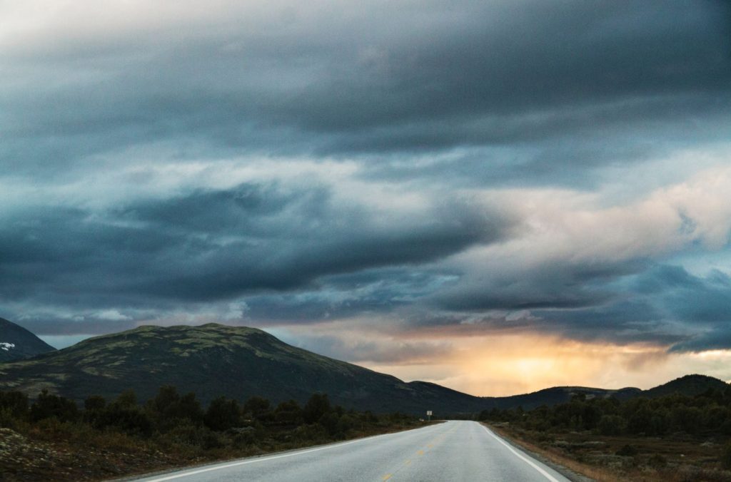
Take the major highway E6 between Oslo and Trondheim.
Drive it Yourself: Rondane National Park
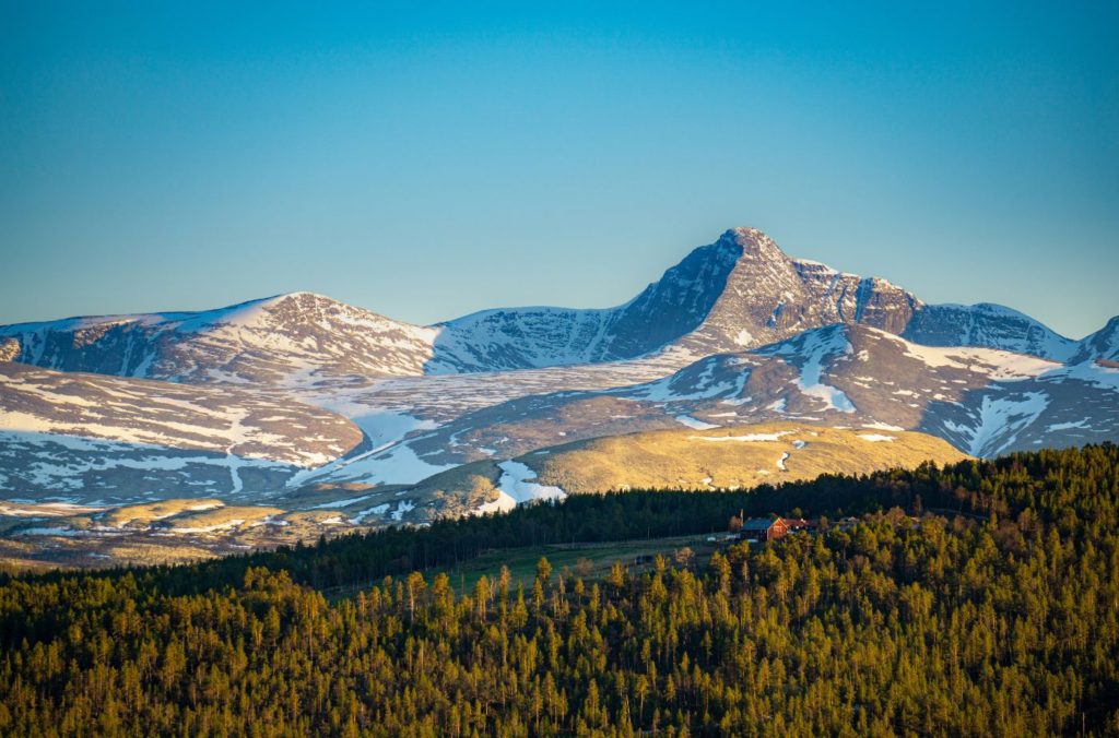
Drive through Norway’s national park and be inspired by incredible views.
Exploring the history of Ringebu Stave Church

Find the remains of the original 13th-century stave church in this ‘modern’ 1630 cruciform church. All you need to know about Ringebu Stave Church!
Drive it Yourself: Gudbrandsdalen

Drive it Yourself: Gudbrandsdalen Gudbrandsdalen is a valley just north of Oslo. Described by VisitNorway as ‘the king of the valleys’, Gudbrandsdalen has a lot to see and do. There are tons of historic sites as the valley is historically important. There are ancient farms as the valley is one of the famous food produces […]
Drive it Yourself: The Valdresflye National Tourist Road
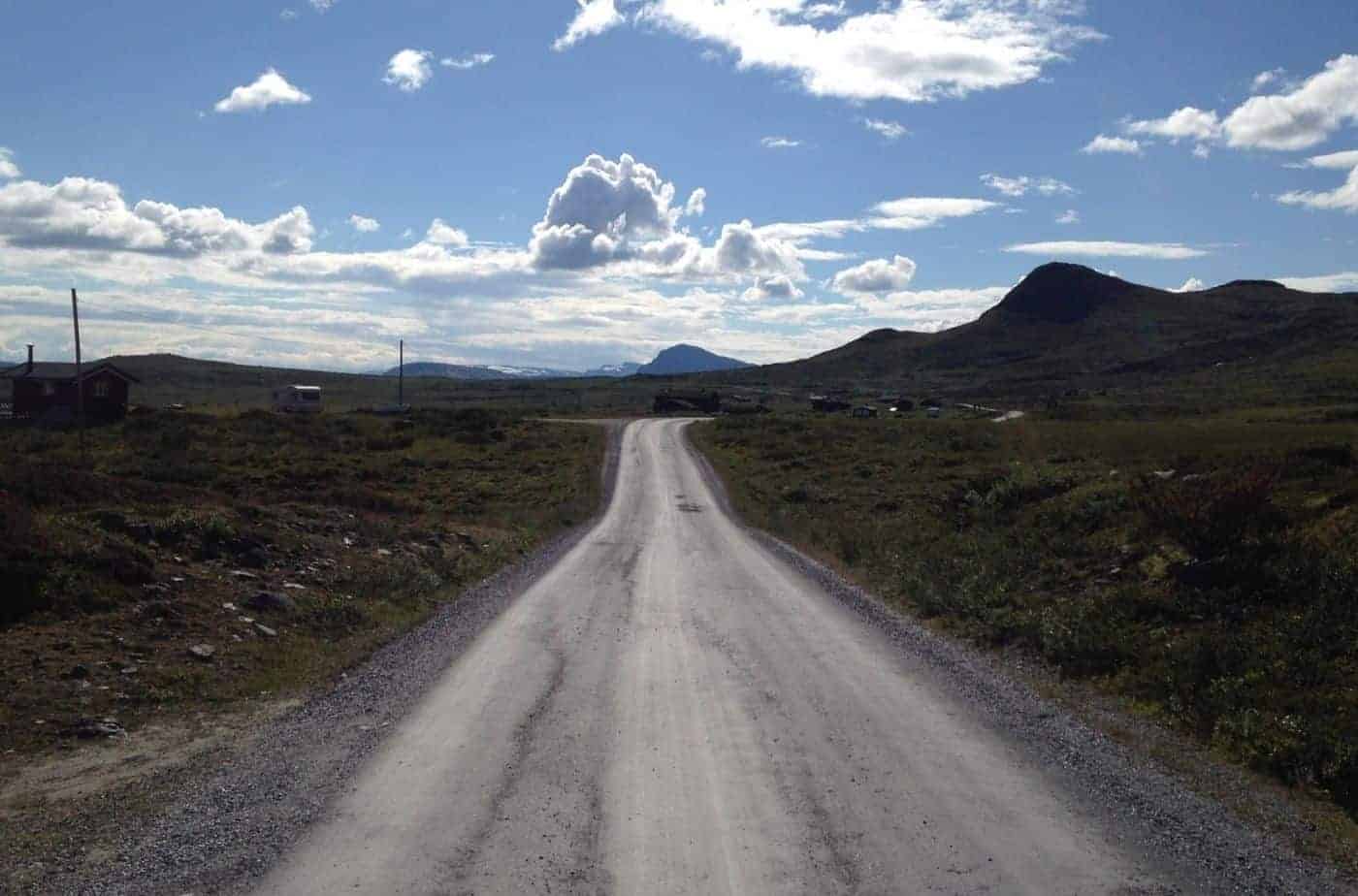
This scenic drive takes you alongside the Jotunheimen National Park, with breathtaking views aplenty.
Following in the Footsteps of Edvard Munch in Vågå
Discover Edvard Munch’s ancestry with this self-guided walk through Vågå