
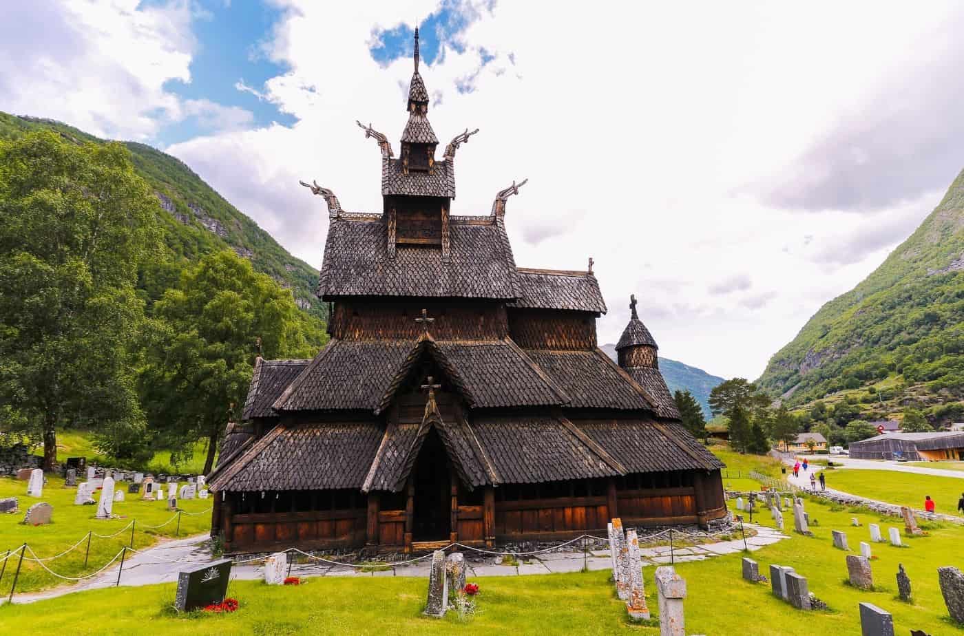
Drive it Yourself: Oslo to Aurland via Hemsedal & Borgund Stave Church
The road from Oslo to Aurland follows the old postal road called Kongevegen.
Seeing Double at Torpo Stave Church

The only preserved stave church in Hallingdal, Torpo Stave Church is famous for its unique interior paintings; some of the oldest in Norway.