
Drive it Yourself: Oslo to Aurland via Hemsedal & Borgund Stave Church
There are many different ways to get between Oslo & Aurland, but this one is arguably the quickest. It doesn’t follow the one major highway the entire way, so it’s also a good way to mix it up a little. While the scenery might not be as dramatic as the other ways to get to the west from Oslo, it is an easy drive with some interesting places to stop along the way.
In this article...
Download this Guide
All of our guides can be downloaded via our online store.
We offer downloadable versions of our self-guided drives on our online store.
Online Guide
- Information about points of interest
- Images of each point of interest
- Historic overview of the neighbourhood
- Directions between points
- Historic photos
- Information about facilities along the way
Downloadable Guide
- Information about points of interest
- Images of each point of interest
- Historic overview of the region & towns
- Directions between points
- Historic photos
- Facilities including supermarkets, toilets, petrol, hotels, cafes, restaurants with addresses.
Watch on Youtube
All of our roadtrips are available on YouTube to watch. They include information about the area provided in text and voiceover form, plus they show the drive in full (sped up in some spots!) so you can get an idea what the drive is like.
The drive: E6 between Oslo and Aurland
Oslo
This drive begins in Norway’s capital, Oslo. You can find a detailed guide to Oslo on the travel guide section of the page below.
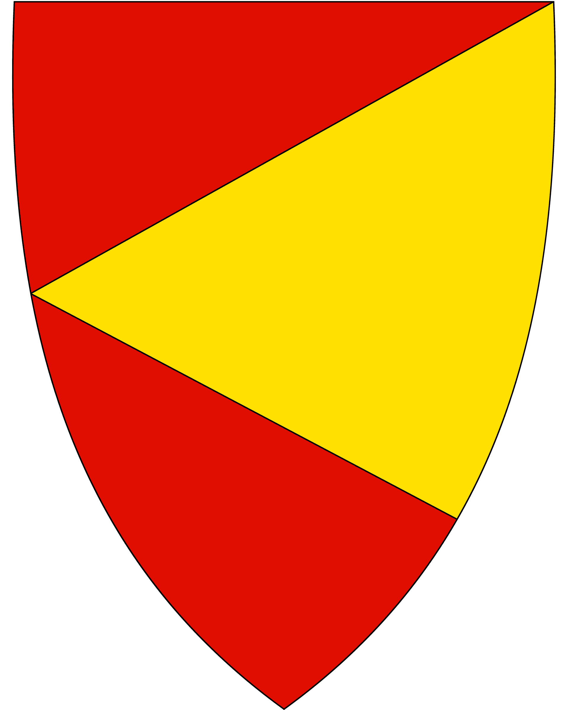
Hole Municipality
The municipality is located around the woodland of Oslo as well as the Tyrifjord (which is a lake). The soil is very fertile here and is suited to growing fruit, berries, and other agricultural products.
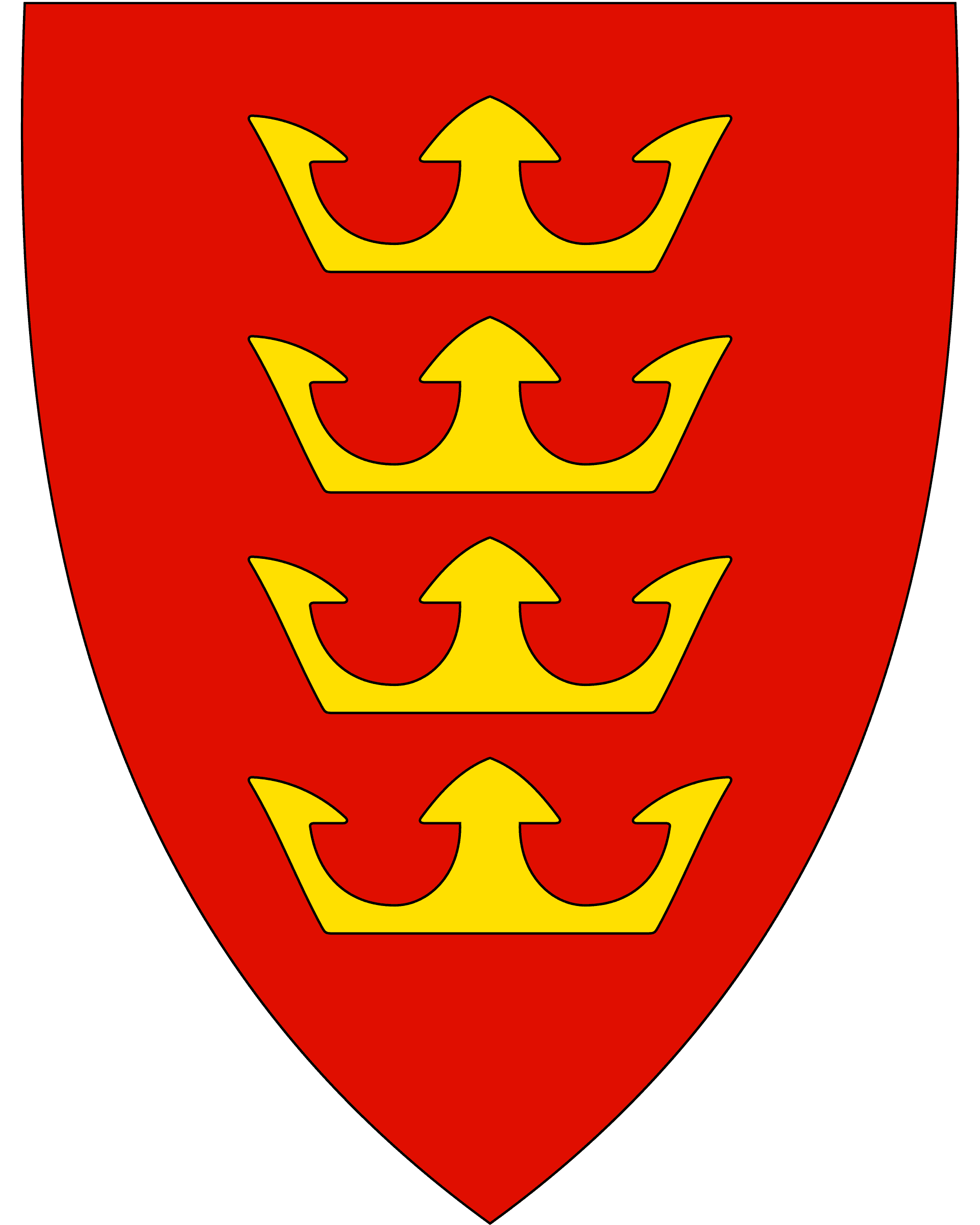
The coat-of-arms show four gold crowns to symbolise the four Norwegian Kings who lived in the municipality: King Halfdan the Black, King Sigurd Syr, King Olav Haraldsson (St. Olav) and King Harald Hårdråde. As you can imagine, this is a very historic area. There are archaeological finds from the Roman and Migration periods, and it is known as one of the traditional landscapes in the Viking Age and plays a prominent role in the Norse sagas.
There are a few historic churches in the area. Stein Church, now in ruins, was constructed in the latter half of the 1100s. Bønsnes Church is a medieval church from 1100 and is still standing today. Hole church is from around 1200 and sits on a hill overlooking the Tyrifjord.
Hole is part of the traditional region of Ringerike. Ringerike is associated with the most notable kings in Norwegian history. It has also given its name to a style of animal art, first discovered on runestones in Ringerike.
Tyrifjord
Lake
Tyrifjorden is a lake in the traditional region of Ringerike. It is Norway’s fifth largest lake. It Is around 26km long and has an average depth of 93 metres. It used to be part of the sea, and there are many finds from that time. It is one of the reasons it was popularly settled around by the Vikings.
The lake is one of the country’s richest lakes in terms of species. Several areas directly adjacent to the fjord have conservation value due to their unique flora and fauna. The slopes and flats around the lake are fertile and the mild climate means that intensive agriculture is carried out around the lake.
Free fishing without a licence is based on tradition and custom. The Tyrifjorden has brown trout, crayfish, and pike. The crayfish population is the largest in Norway. Perch can also be caught here. The lake is also used as drinking water for the surrounding areas.
It is not a fjord by English definitions. Norwegians commonly use the word ‘fjord’ to mean any body of water; many lakes are known as fjords in Norway.
Sundvollen
Village
Sundvollen is a small village located along the Tyrifjorden. Sundvollen is known for its hotels; Sundvolden hotel is one of Norway’s oldest hotels. It was first mentioned in written sources in 1648. Another hotel, Kleivstua Hotel, is an inn that catered to travellers along the Old Royal Bergen Road, the historic road between east and west. The road also formed the pilgrim’s road between Oslo and Trondheim.
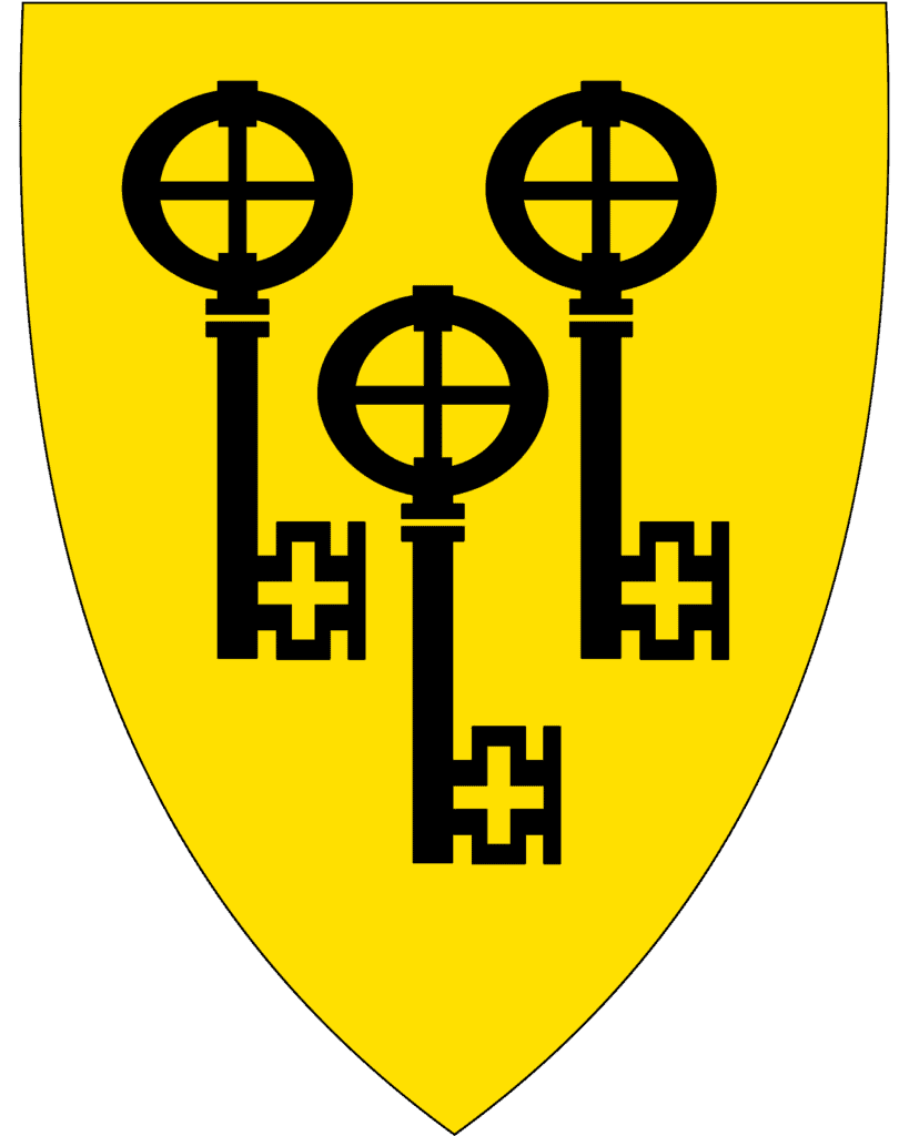
Ringerike Municipality
Ringerike is a historic region with some of Norway’s earliest kings coming from here. It is believed that the first kingdoms of Norway settled around the Tyrifjorden, hence the name Ringerike (The Old Norse name was Hringariki; hringr means ‘ring’ and riki means ‘kingdom). The first permanent settlements were here between 3000 and 2000 BC.
Ringerike is one of the medium-sized urban municipalities in Norway and is the largest forestry industry municipality in the country. Considerable agriculture is also carried out here.
Hønefoss
We are passing by the town of Hønefoss. The town is built around a waterfall called Hønefossen (foss=waterfall) and grew in relation to the timber industry. Sawmills were placed along the waterfall to utilise its power. The last half of the 19th century brought significant development for the town. The connection to Drammen via railway in 1868 was important for the town.
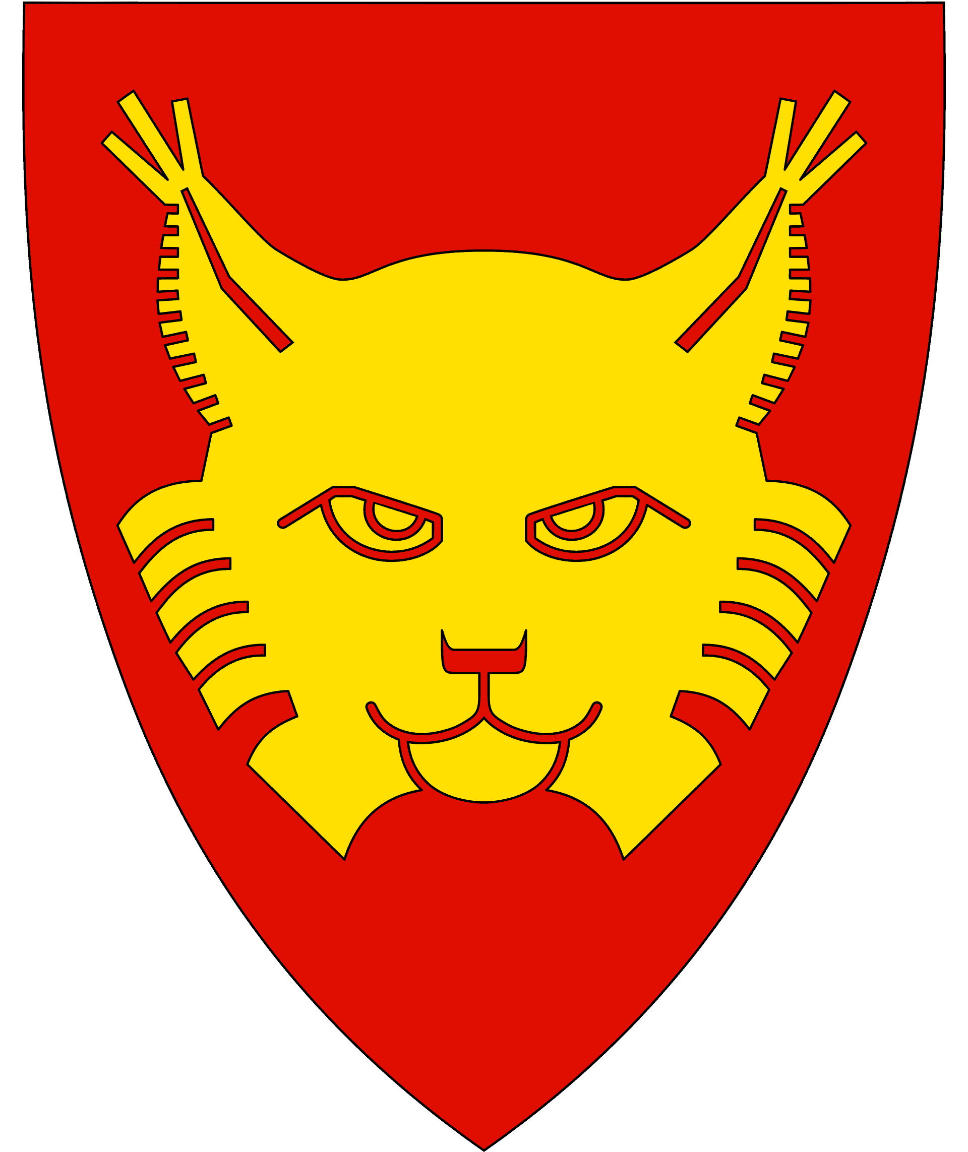
Flå Municipality
Flå is the southernmost part of the traditional Hallingdal valley. Flå is known around Norway for Bjørneparken, which is a park with bears, moose, dear, wolves, foxes and lynx. Flå is also the birthplace of Olav Thon, who went on to become one of the richest men in Norway with his chain of hotels.
Agriculture is the most important industry in Flå, though the timber industry is also important. The production on the farms is forest and grain, often with sheep and sometimes llamas as well. There are many cabins in the area as it is a popular spot to hunt for deer. Fishing is also organised in several area, and you can buy a licence at most petrol stations.
Nesbyen Municipality
Nesbyen municipality is part of the Hallingdal valley. Ancient trading routes went to Western Norway through the Valdres and Hallingdal valleys and then down to Røldal and Odda. The area here was originally populated by migrants from the west.
Nesbyen has a boreal climate with warm summers and cold winters. The 20th of June 1970, Nesbyen recorded the all-time high in Norway at 35.6C (96.1F). Nesbyen also has a record cold temperature for the area at -38C. There is an old meteor crater just north of Nesbyen. About 650 million years ago, a 200-300 metres meteorite struck this area. This resulted in a 5km impact crater.
Nesbyen
Nesbyen is a small town with around 2,100 people living here. The village centre is surrounded by farms as agriculture is an important industry here.
Hallingdal
Hallingdal is one of the major valleys of eastern Norway. The valley is V-shaped and is drained by the Hallingdal River that comes in from the Hardangervidda plateau. Hallingdal is one of Norway’s busiest valleys as Highway 7 and the Bergen to Oslo train run through the valley.
The valley has been an important trading valley for thousands of years. In the early years, Hallingdal prospered from trading with iron and trading routes developed throughout the Iron Age. Hallingdal farmers also traded cattle. The valley is characterised by its livestock farming, especially wool, dairy and eat production.
Hallingdal is known for its unique art and music culture. Hallingdal has developed its own style of rosemaling with a distinct symmetrical style. The music of Hallingdal is traditionally dominated by the hardanger fiddle. The dance tunes have a distinct pattern, following three different lines of tradition. The Halling is the name of an old folk dance that is used in Norway. Each dancer is alone, and the climax of the dance is known as thrown Halling, where the goal is to kick down a hat from a stick.
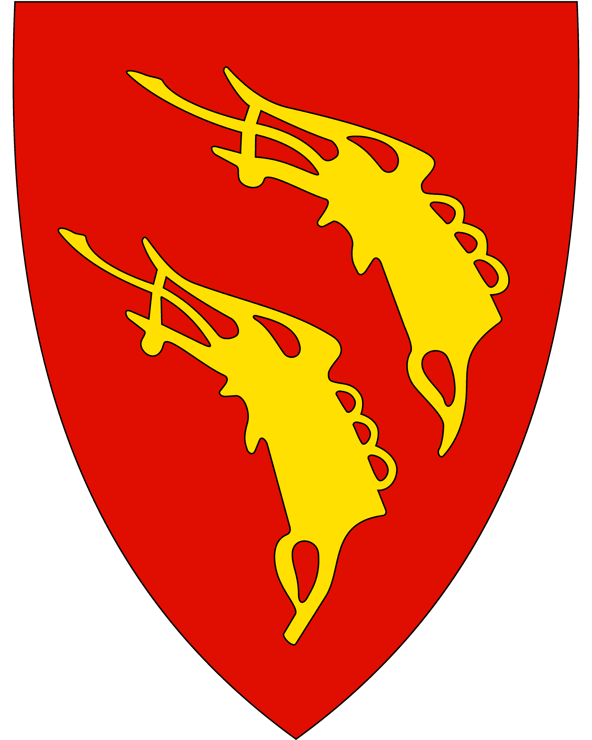
Gol Municipality
Gol is a small settlement with around 3,200 people living here. It is the trading, service, and communication centre for the municipality.
Gol used to have a stave church, called the Gol Stave Church. The church was from around 1216, but in the 1870s it was too small for the congregation. It was bought by King Oscar II’s Collections – later the Norwegian Folk Museum that’s now the open-air museum in Oslo. A new church was built in Gol.
Gol has now built a kid’s park called Gordarike, which is inspired by Norse mythology and the Vikings. They have built a replica of the Gol Stave Church as a highlight of the park.
Hemsedal Municipality
Nesbyen municipality is part of the Hallingdal valley. Ancient trading routes went to Western Norway through the Valdres and Hallingdal valleys and then down to Røldal and Odda. The area here was originally populated by migrants from the west.
Nesbyen has a boreal climate with warm summers and cold winters. The 20th of June 1970, Nesbyen recorded the all-time high in Norway at 35.6C (96.1F). Nesbyen also has a record cold temperature for the area at -38C. There is an old meteor crater just north of Nesbyen. About 650 million years ago, a 200-300 metres meteorite struck this area. This resulted in a 5km impact crater.
Trøym
Town
Trøym is the administrative centre of Hemsedal. Most people (myself included) mistakenly call the village Hemsedal because it has all the main services for the municipality. For example, we are passing Hemsedal Church from the 1880s. The old stave church used to be here.
Hemsedalsfjellet
Mountain Range
Shortly after leaving Trøym, you will cross the Hemsedalsfjellet Mountain Range over into Western Norway. The road can close in winter.
Lærdal Municipality
Lærdal is a municipality in western Norway. It has a relatively dry climate, with around 600mm of rain a year. Agriculture is one of the biggest industries here. The lower part of the valley has one of the country’s best climactic conditions for growing vegetables.
The river running through Lærdal is called the Lærdal River and is known as the ‘Queen of the Salmon rivers’ because it is one of Norway’s most famous salmon rivers. In the valley, you can hunt deer, reindeer, and elk.
Lærdal is an important place historically. It has been inhabited for 6,000 years and has always been on the main road between east and west in southern Norway. Originally the road was a footpath. In 1647, Kongevegen was built as a more modern road, and then in the 1840s it was upgraded to Den Bergenske Hovedvei. You can still see remains of Kongevegen in Lærdal municipality; today it is a hiking path.
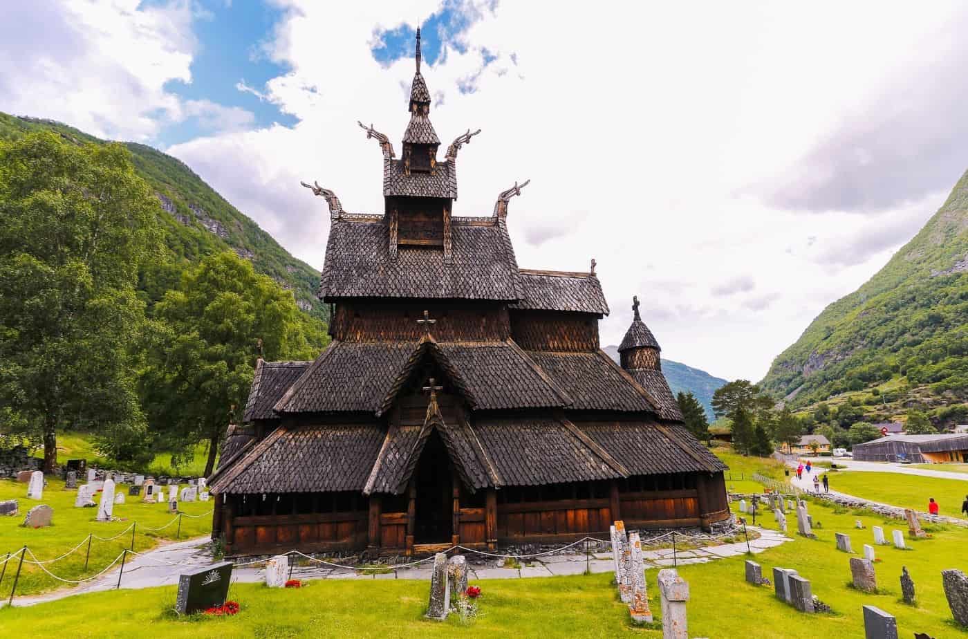
Borgund Stave Church
Located close to the main highway is Borgund Stave Church, one of the 28 remaining stave churches in Norway.
Lærdal
Town
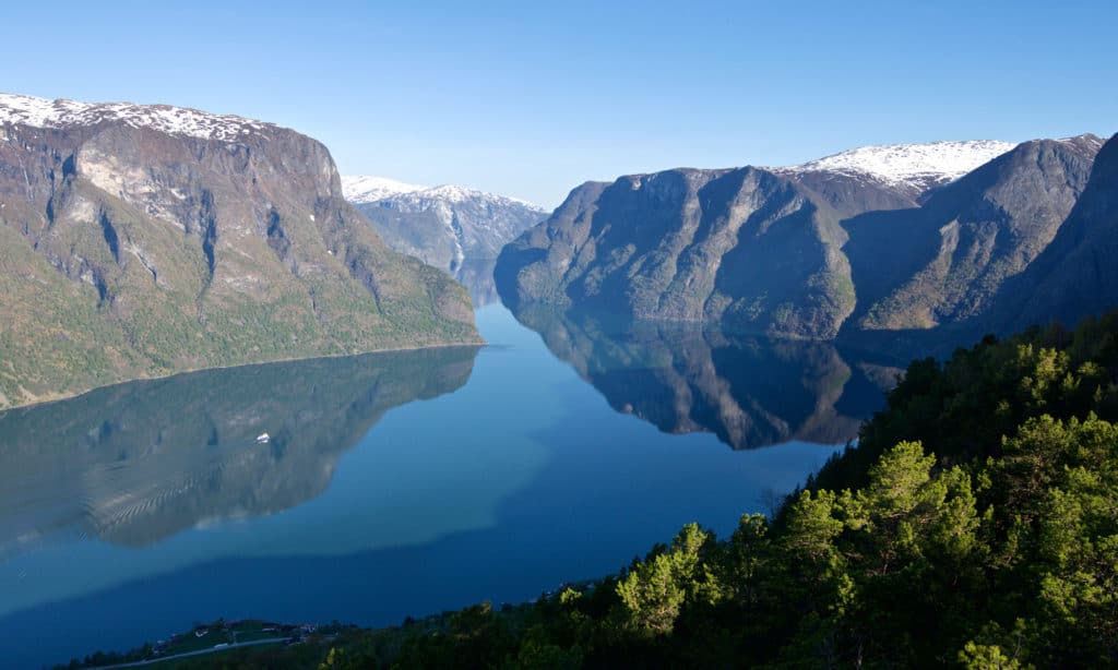
This has been an important trading place since the Middle Ages. Lærdal sits on the Sognefjord, which goes approximately halfway into the country between the coast and the Swedish border. Therefore, it has always been preferred to travel by sea. Lærdal developed as a natural marketplace because of its position along the fjord. Coastal farmers brought herring and fish and exchanged goods with the mountain farmers who came from the Hallingdal and Valdres valleys.
Historic wooden houses survive in Lærdal today that are connected to this historic marketplace.
Aurlandsfjellet
If you are travelling in summer and don’t want to drive through the long tunnel, you can take the scenic detour on the Aurlandsfjellet Tourist Road. Allow an extra hour or so to do the drive, but it is well worth it!
You can find our guide to Aurlandsfjellet below.
Lærdal Tunnel
Tunnel
The Lærdal Tunnel is 24.5km (15.2 mi) long. It is the longest road tunnel in the world. Construction started in 1995 and the tunnel opened in 2000, costing around 1 billion NOK ($113 million USD).
The design of the tunnel takes into consideration the mental strain for the drivers, so the tunnel is divided into four sections, separated by three large mountain caves. The caves have blue lighting with yellow lights at the fringes to give an impression of sunrise. The caves are meant to break the routine.
There are no emergency exits. Emergency phones are every 250m. There are also 15 turning areas in case of an accident. High air quality is achieved through ventilation and purification.
Aurland Municipality
People have lived off hunting and fishing in Aurland for thousands of years. Farming started around 2,000 years ago and agriculture is still an important industry here. Tourism is also emerging in importance as Aurland is home to the famous Flåm village as well as Gudvangen.
In the village of Aurland you’ll find Vangen Church, a medieval stone church from 1202. It is built in the early Gothic style influenced by English architecture. The fact that they used stone as a building material indicates how important Aurland was as a town.

Flåm
Our drive concludes in Flåm, one of the most popular places in Norway for tourism. If you want somewhere a little quieter, you can choose to stay in Aurland instead.
You can find our travel guide for Flåm below.
Where to Go From Here
Flåm is perfectly located to continue your road-trip. You can either take the ferry over to Balestrand and continue from there, or you can continue on to Bergen.
If you liked this drive, or if you have any travel tips, please leave a comment in the section below!