
Drive it Yourself: The Atlantic Road
The Atlantic Road is incredibly famous. I mean, whenever you see a list of the top things to do in Norway, it’s right up there.
In Norway, it has earned the title of ‘Construction of the Century in Norway 1905-2005’. The UK’s Guardian once crowned it as the world’s best road-trip. Norway’s Aftenposten called it the ‘Most Beautiful Car Journey’. Lonely Planet called it the ‘World’s Best Place to Mend a Broken Heart’. The television program Fifth Gear named it the World’s Best for Car Testing.
Yeah, the Atlantic Road is pretty great. But it’s also worth keeping in mind that the stretch of road they are talking about is only 8km (5 mi) long. Yes, really. It’s very short. Blink and you miss it. So, does that make it worth it?
Absolutely! If you make a trip out of the whole drive between Kristiansund and Molde, you get to see spectacular coastline. You pass the famous Hustadvika stretch of sea, historic fishing villages, and famous mountain peaks. As long as you don’t surround your hype only on the famous bit of road, the Atlantic Road is excellent.
Beyond the road, there are plenty of detours to be made: there’s the Kvernes and Rødven stave churches nearby, or you can take the ferry from Molde to Åndalsnes and do the Trollstigen Scenic Road – that’s what we did!
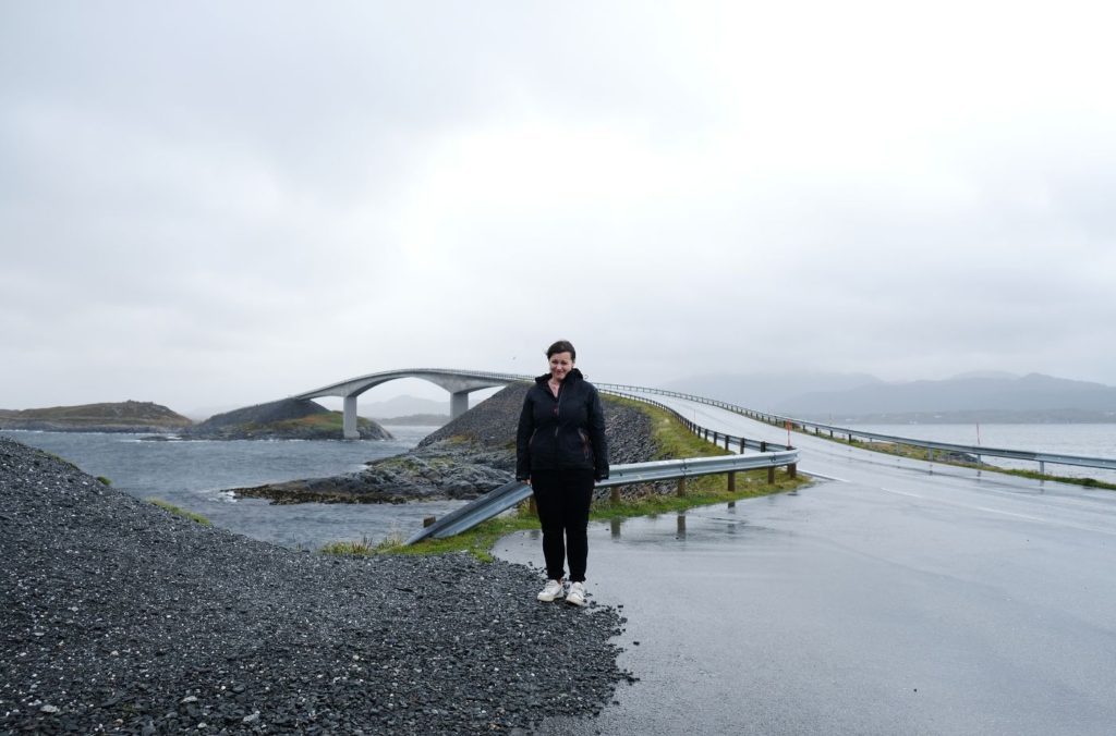
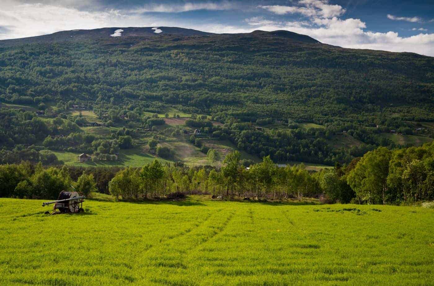
We did the Atlantic Road in September 2020. The weather was horrible, and while I thought about simply not uploading the video, I think it’s important to show. After all, the west coast is known for this kind of weather and you may just get a day like this when you visit.
Here’s my guide to the Atlantic Road, including what to see and do, plus some worthy detours, along the way. I do the trip from Kristiansund to Molde, but this drive can easily be reversed.
In this article...
Download this Guide
All of our guides can be downloaded via our online store.

We offer downloadable versions of our self-guided drives on our online store.
Online Guide
- Information about points of interest
- Images of each point of interest
- Historic overview of the neighbourhood
- Directions between points
- Historic photos
- Information about facilities along the way
Downloadable Guide
- Information about points of interest
- Images of each point of interest
- Historic overview of the region & towns
- Directions between points
- Historic photos
- Facilities including supermarkets, toilets, petrol, hotels, cafes, restaurants with addresses.
Watch on Youtube
All of our roadtrips are available on YouTube to watch. They include information about the area provided in text and voiceover form, plus they show the drive in full (sped up in some spots!) so you can get an idea what the drive is like.
The drive: The Atlantic Road
Kristiansund
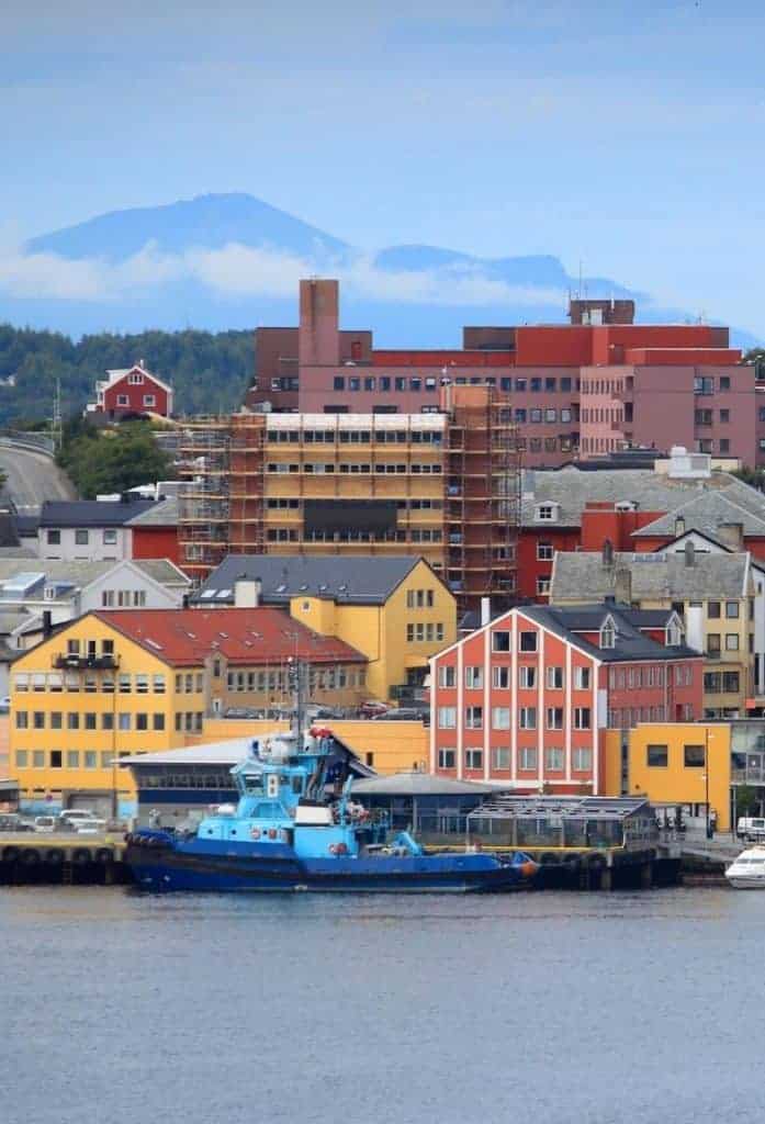
This drive begins in Kristiansund. Kristiansund is a seaside city built across four islands.

Kvernes Stave Church
Stave Church/Detour
Kvernes Stave Church is one of Norway’s 28 remaining stave churches. The church is not far from the beginning of the Atlantic Road, but it is a bit of a detour.
As you’re driving along the Fv64 towards the Atlantic Road, you’ll reach a town called Bruhagen. There will be a left-hand turn with a brown tourist sign saying stave church – follow that. After 9km, you will be at Kvernes.
To get back to the Atlantic Road, just keep following the road you took – it loops around the island you are on and it’s quicker to not go all the way back and rejoin the Fv64.
Geitøya
Island
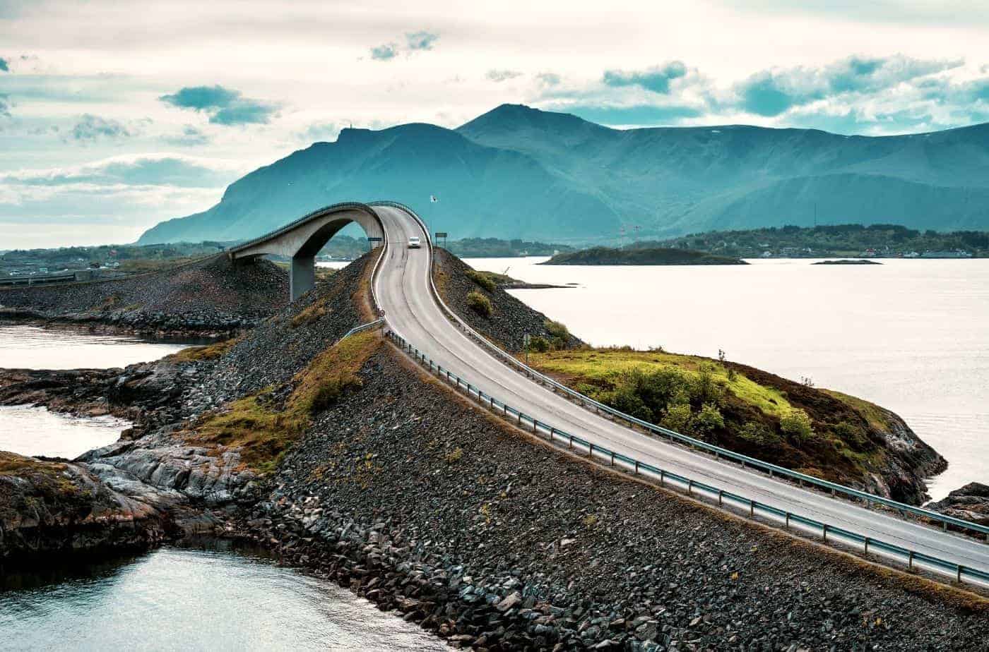
Geitøya (Goat Island) is the first main island you’ll cross onto. Almost immediately after crossing onto the island, there’s a large parking lot if you want to take photos. However, the better parking lot is on the other side of the island – just a couple minutes drive.
This is where you’ll get the famous photo of the Atlantic Road.
The first parking lot you’ll see is for the ferry to Håholmen – there’s not much to take photos of from here!
Otherwise, Geitøya has many short walks along the shore and up on the hills that provide rewarding views. You can also take a ferry to the historic Håholmen fishing village. Håholmen has been a fishing community since the beginning of the 1700s. Here, they primarily produced stockfish. Today the village is a large hotel complex. Don’t let that scare you off! The fisherman’s cottages have been transformed into rental properties. They are well preserved and very unique.
The owner of Håholmen is Ragnar Thorseth, a famous Norwegian explorer and author. He rowed from Måløy on the west coast to the Shetland Islands in 1969, following the same route that the Vikings did. In 1975 he spent five months crossing the Atlantic, again following the same route as the Vikings. Thorseth was captain on the Viking ship Gaia that sailed from Norway to New York in 1991.
Learn more about Håholmen

Famous Viewpoint
Viewpoint
The second large parking lot on Geitøya is perfect for photos. There are many places to park, but keep in mind they may fill up in summer. From the parking lot, it’s a couple minutes walk to the viewpoint for the bridge. If you choose to walk around the site, you can see one of the famous sculptures of the Atlantic Road: the plastic crab (plastkrabben).
The sculpture is supposed to reflect on the amount of plastic in the sea. You can see images of it here.
There is a path all around the island. It looks just like my picture above. You can continue following it past the viewpoint to reach the plastic crab and get more photos of the island.
Parking here is free. According to the tourist road website, there’s a cafe here in the summer months. It’s open weekdays from 1 June -31. August from 12pm – 4pm and on weekends from 11am – 5pm. There are toilets open all year round.
You can view their page here.
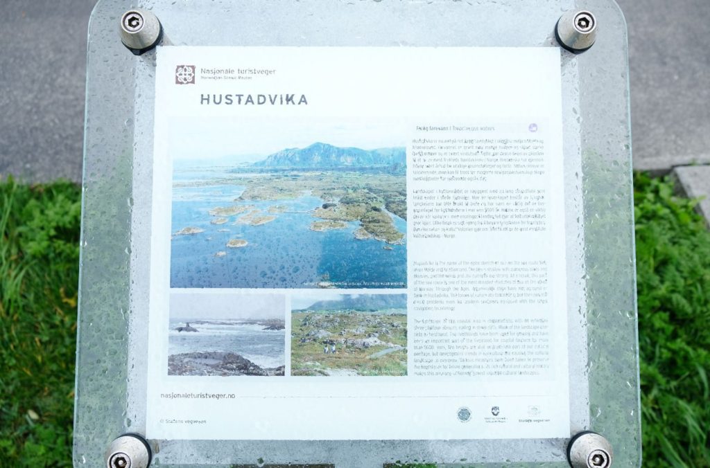
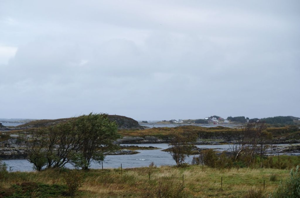
Hustadvika Coastline
Coastline
Hustadvika is a municipality located between the traditional districts of Nordmøre and Romsdal.
The municipality is named after the 19km (12 mi) long Hustadvika coastline. The coat of arms depict a fish and a plow, representing the two main industries: fishing and agriculture.
Hustadvika sits on the northwestern end of the Romsdal peninsula along the Hustadvika shorline. There are a number of small islands here, and the terrain is either marshy or very rocky. Most people live on beaches along the coast.
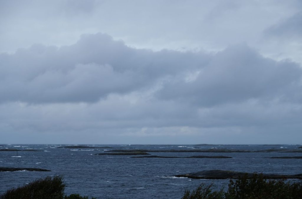
The Hustadvika shoreline is notorious as one of the most dangerous stretches of sea along the Norwegian coast. If you’ve done it on the coastal ferry (Hurtigruten), you probably know what I’m talking about. It is a 10 nautical mile (18.5km) stretch of open sea and is part of the shipping lane between Bud and Kristiansund. Unlike most of the Norwegian coast, there are no islands or skerries sheltering waves. The area is shallow and has many islands and reefs, so ships have to go outside in the open ocean. This creates a very bumpy ride if you are on Hurtigruten on a stormy day. It’s also why the weather on the Atlantic Road is often not so great – there’s nothing protecting the road from the open sea.
There’s a photo stop for Hustavika later on in the drive.
Other Side
Viewpoint
If you are unable to get parking, just head across the bridge and park on the other side. The views are just as good, but there’s no cafe or plastic crab keeping people parked for long periods of time.
The famous bridge is called Steinsundbrua (Steinsund Bridge). You can view the national tourist road website about it here.
End of the Road
Viewpoint
When you see the brown sign saying “Hågå 400m” – that’s the end of the bridge/island part of the Atlantic Road. Yes, it’s that short. But there’s still so much more to see. So let’s keep going!
Hågå
Walking Trail
Håga is one of the roadside attractions you can spend some time at. It’s a walking path that leads to the coast, and at the other end is a sculpture consisting of marble white columns scattered all over the landscape.
You can view images & more info at the tourist road website here.
Farstad
Town
Farstad is a small town with a population of 256. It has many facilities here. Farstad is also home to Hustad prison, a former civil defence camp, and the police ATK centre.
The Farstad Beach is the world’s most northerly sandy beach of the ‘southern type’ and is used for kiting and windsurfing. Here’s a link with more info and pictures of the beach.
Farstad has access to some hiking trails as well as a coastal walking path.
Hustad
Town
Hustad is the next little town we drive through.
Hustad is a small village with a population of around 250.
It has all the facilities you’d expect of a small town. The surrounding nature provides plenty to do. The Stemshest mountains are to the east, and there are five lakes nearby that are well-stocked with trout. There are numerous hiking trails from Hustad.
Hustad is a known historic place. It’s mentioned in Bergen in 1329 as Hustodum regarding the land owners. After all, nearby Bud was a historic trading place with Bergen. Hustad is mentioned even earlier than that. In the Norse Sagas by Snoore Sturlasson (Heimskringla), Øystein Magnusson, who was the King of Norway in 1103-1123, died during a stay at the royal estate Stim at Hustad. The location of the royal estate is unknown today.
Hustad Church
Hustad Church is a typical 19th century white wooden church. However, there has been an older church here. The earliest existing records of a church date back to 1589, but there was likely a church here as far back as the 12th or 13th century. The church in the 1500s was a stave church. At some point, the stave church deteriorated and a new church was built next to it. In 1646, both churches stood side by side. At some point the stave church was torn down. Later on, the newer church was destroyed by a lightning strike. A new church was built, but it was too small and replaced by the present church.
Aslaksteinen
Rock Formation
Close to Hustad is the Aslaksteinen, a 200m high rock formation that was inhabited more than 2000 years ago. The traces they left behind shows stays for longer periods and that they spent their time cooking and making handicrafts. My kind of hidden rock village!
In the 1980s, archaeological investigations were carried out. Charcoal, burnt bones and shards from pts were found. Furthermore, an iron knife and several flint pieces that were likely used for fire were found. Archaeologists found ornaments in the form of bronze bracelets dated to the Viking Age.
Today you can hike to the site. Here’s a link to the hiking trail. There are signs pointing to Aslaksteinen from the main highway.
Kjeksa Viewpoint
Viewpoint
At this viewpoint you’ll find some picnic tables, an information board about Hustadvika, and some excellent views of the open ocean and coastline. The stop is by the highway, so I recommend pulling over to take some photos. Bud is only a few minutes from here.
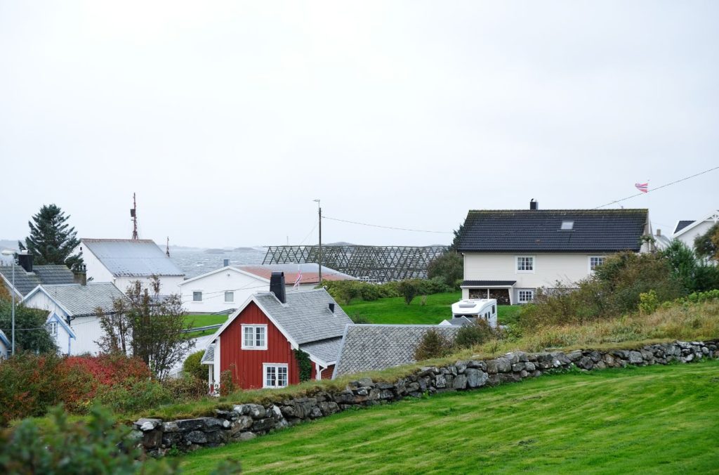
Bud
Town
Welcome to Bud!
A historic fishing village
Bud is a historic fishing village. The name (pronounced more like bood than the English word bud) comes from the old fishing cabins: a ‘bu’ was a cabin where fishermen would live during the seasonal fishing. The word is found in many places along the coast. For example, the rorbuer are very popular in Lofoten.
Bud was at its peak during the 14th and 15th centuries. This was during the height of the Hansa period in Bergen, and the demand for fish for export was great. Bud is close to the fishing grounds, and it became a large place for fishing. Until the 17th century, Bud was one of the largest trading places between Bergen and Trondheim.
The final Norwegian State meeting
After the death of King Frederick I of Denmark in 1533, there was a push for Norway to leave the Kalmar Union (between the three Scandi countries). On top of that, Denmark was pushing for the Protestant Reformation in Norway, and the Catholic country didn’t want that.
The archbishop Olav Engelbrektsson of Nidaros called the meeting with the Norwegian state committee as he felt the Catholic Church (and Norway as a country) was being threatened by Denmark and the Reformation. Important issues were discussed, but no decisions were made. The attempt for independence failed. The Reformation was introduced, the Norwegian state committee was dissolved, and Norway became further incorporated into the Danish state. This was the final blow for any hope of an independent Norway. The council was the last of its kind in Norway for 270 years.
There is a monument in town to commemorate the meeting. It was removed by German occupying forces in 1941, but was put back in 1947.
World War II
Bud was occupied during World War II and became an important part of the Germans’ Atlantic Wall along the west coast of Europe. The Ergan coastal fortifications were built near Bud. They were the largest built during the war in Norway by Germans. In addition to 350 German troops, there were 150 Russian and Polish prisoners of war in Bud during the war.
The goal of the fortifications was to monitor the busy Hustadvika shipping lane and the approach to the towns of Ålesund, Molde and Kristiansund.
It is possible to visit the remains of the fort today. It’s open as a museum during the summer months. You can find info here.
Outside Bud Church is a memorial to the locals who passed away during World War II.
Bud Today
Today Bud is still an active fishing village, and you can see the drying racks along the shoreline. There are some excellent seafood restaurants, shops, and a coastal museum here.
If you want to stretch your legs, you can walk along the coastal path that circles around the village. Along the way are information boards explaining Bud’s history. There are also great views to the village and the sea.
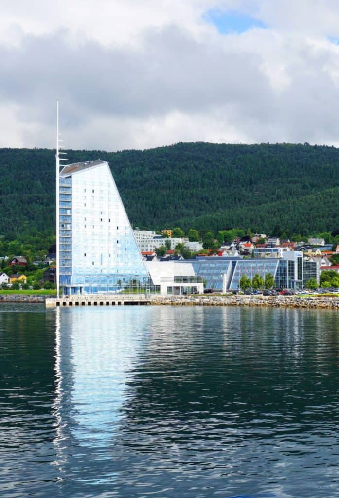
Molde
The Atlantic Road ends in Molde, a beautiful town. You can find more information about Molde at the Hidden North travel guide.
Continue the drive

Trollstigen Tourist Road
Take the ferry from Molde across the fjord and begin the most famous tourist road in the country (besides the Atlantic Road, of course).
Previous Route
Oppdal to Kristiansund
Take a secret highway through a dramatic valley to Kristiansund.
If you liked this drive, or if you have any travel tips, please leave a comment in the section below!