Drive it Yourself: The Coastal Road Day 4 – Sandnessjøen – Forøy
The Coastal Road that runs from Brønnøysund to Bodø is one of Norway’s 18 national tourist roads. At 433km (269 mi), it is also the longest of all the tourist roads. You can’t do it in one day: some websites will recommend up to a week. In June 2021 Sean (the husband) and I did the coastal road in three days. It definitely felt quick and we couldn’t make all the detours we wanted, but we did it!
I’ve put together a guide breaking down the coastal road. My guide includes the history & everyday life of the region, plus options for your own customisations.
Kystriksveien vs. Helgelandskysten
The road has two names, and this can be pretty confusing. Kystriksveien begins in Steinkjer just outside Trondheim and provides more options for detours to the islands.
On the other hand, Helgelandskysten begins in Holm just south of Brønnøysund, where my guide begins. It features more-so on the one highway, known as the Fv17.
When driving the road, the brown tourist signs will follow the path of the Helgelandskysten national tourist road, which is on the Fv17. However, you can get a free guide online for the Kystriksveien.
Facilities including supermarkets, toilets, petrol, hotels, cafes, restaurants with addresses.
Interactive Google Map for easier navigation
Watch on Youtube
All of our roadtrips are available on YouTube to watch. They include information about the area provided in text and voiceover form, plus they show the drive in full (sped up in some spots!) so you can get an idea what the drive is like.
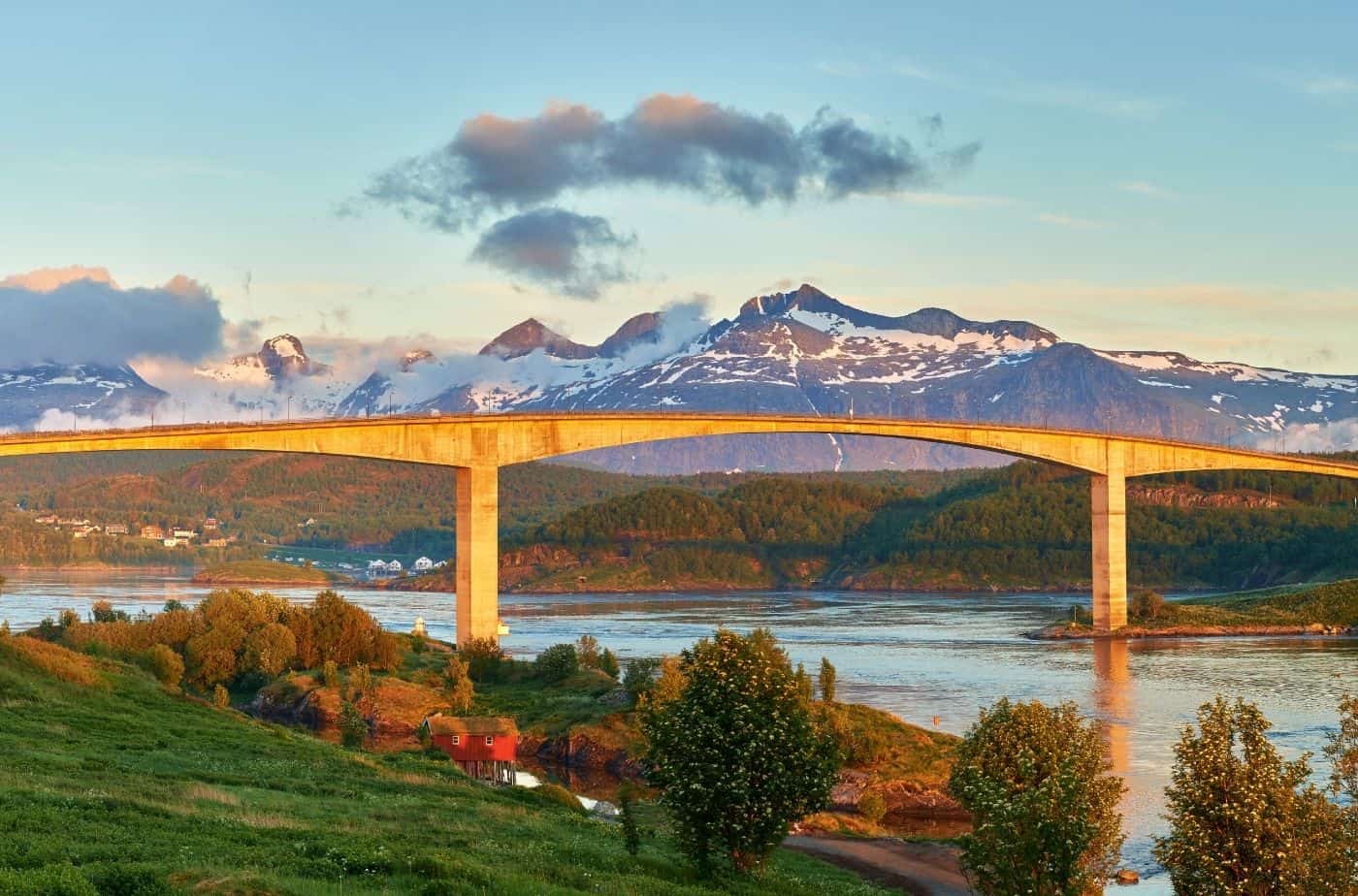
The Helgeland Bridge is a cable-stayed bright that crosses the Leirfjorden between the mainland and the island of Alsta (where Sandnessjøen is).
Facts:
Built 1989 – 1991
Officially opened in July 1991
Construction cost 200 million kr
Was a toll bridge until 23 June 2005
1,065m (3,494ft) long
12 spans – the longest is 425m (1394ft)
Maximum clearance below the sea is 45m (148ft)
Foundations extend to a depth of 31m (102ft)
In 2010, it was named Norway’s most beautiful bridge
Leirfjord
Population (2020): 2294
Population density 5.1 inhabitants per square kilometre (13 sq/mi).
Population has increased by 7.2% over the previous 10 years.
The name comes from the Leirfjorden. The old name of the fjord is probably just Leiri, derived from the river Leira, which has its mouth at the end of the fjord. Leirr means ‘clay’. The Leirfjord is 20km (12 mi) long.
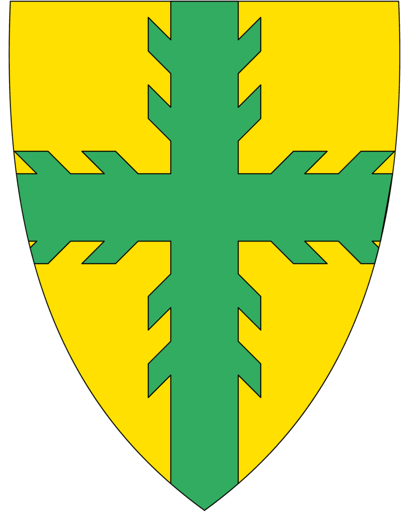
The coat of arms represents forestry and agriculture in the municipality. Those are the main industries, along with fish processing.
Levang - Nesna Ferry
Ferry
Levang is a small settlement. We are here to take the ferry to Nesna. Timetable (PDF)
Nesna
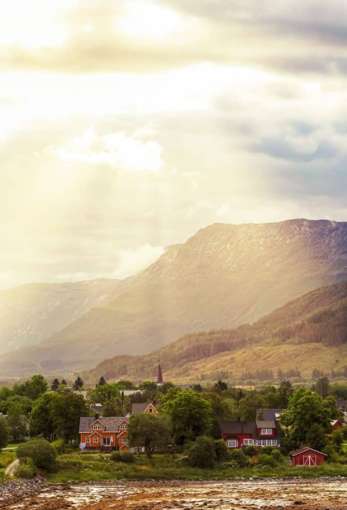
Nesna is a small town with a population of 1761 spread over the municipality. The town has a long history of education, and one of the first higher education centres for teachers was here. The college, Nesna University College, is still in the town.
Nesna Church is from 1880, though the earliest existing church is from 1589. Nesna is one of the ports of call on the Hurtigruten: the northbound ferry arrives at 5:30pm and the southbound at 11:15pm.
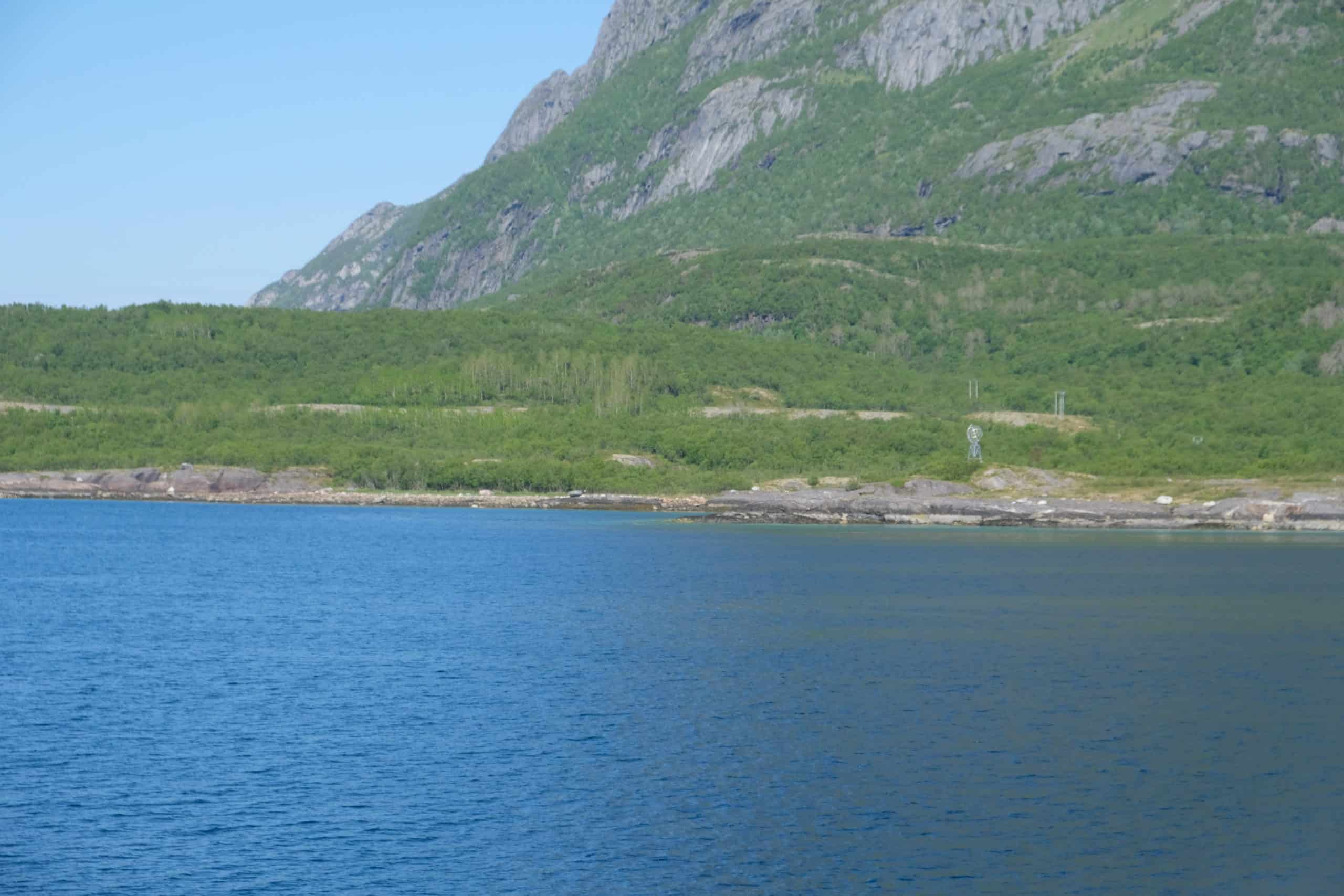
Roadside Stops
Scenic Overlooks
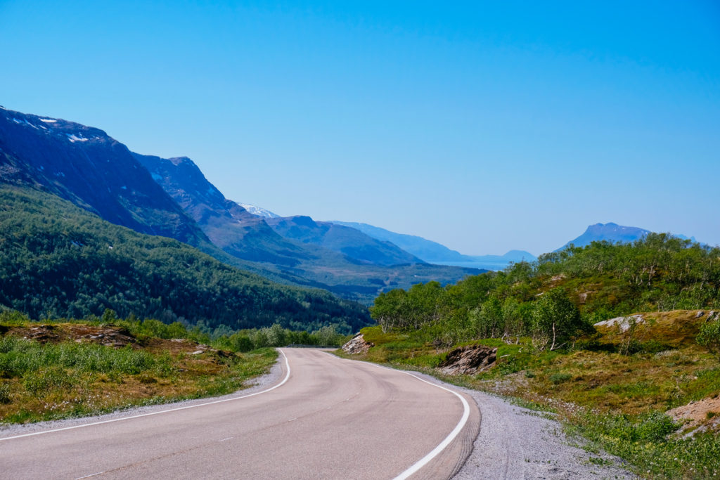
The stretch of road between Nesna and Myklebustad is gorgeous. The best photo stops are on the opposite side of the road, and the best views are behind you. Trust your instinct and stop as much as possible!
Rana Municipality
This is the third largest municipality in Northern Norway (4,460km2 or 1,720 sq mi).
Population 26,083 (2021) with a population density of 6.2 inhabitants per sq km (16/sq mi).
Population has increased by 3.6% over the past 10 years.
Most of the population lives in Mo i Rana.
The name Rana is either Norse or Sami origin. It may come from the Norse river name Raðund, with Raðr meaning ‘fast’. The name is also associated with the Ume Sami legend of Sala Niejta (“daughter of the sun”) and Rana Niejta (“daughter of the earth”). In that case, Rana was the summer’s green ground for the reindeer husbandry. A Sami settlement near the Swedish border was called “Ranbyen”.
The municipality is located just south of the Arctic circle, on the southern side of the Saltfjellet mountains. The main city Mo i Rana is so close to the Arctic Circle that parts of the sun are continuously over the horizon from early June to early July. There is no true polar night, though. There is often a lot of snow here in the winter, while summer days are among the warmest in Northern Norway.
Rana municipality is rich in iron ore and has an industrial history dating back to 1799. The coat-of arms represent the forest (green) and the wealth of minerals (yellow). The Mo Industrial Park is from 1991 and was a result of the restructuring of the Norwegian Ironworks.
Sjona Church
Church
On the right is Sjona Church. This church is from 1896 and was built as a small chapel. In 2003, the chapel was upgraded to full parish church status. It seats about 170 people.
Lurøy Municipality
The municipality has a population of 1,890 with a density of 7.3 inhabitants per square kilometre (19/sq mi). The population has decreased by 0.5% over the last 10 years.
Lurøy municipality is located just south of the Arctic Circle. The Lurøygården farm on the island of Lurøya is more than 200 years old and has a renaissance-style garden.
Stokkvågen
Village
Stokkvågen is where you can take a ferry out to the islands that are part of Lerøy municipality. You don’t take a ferry here – keep going straight!
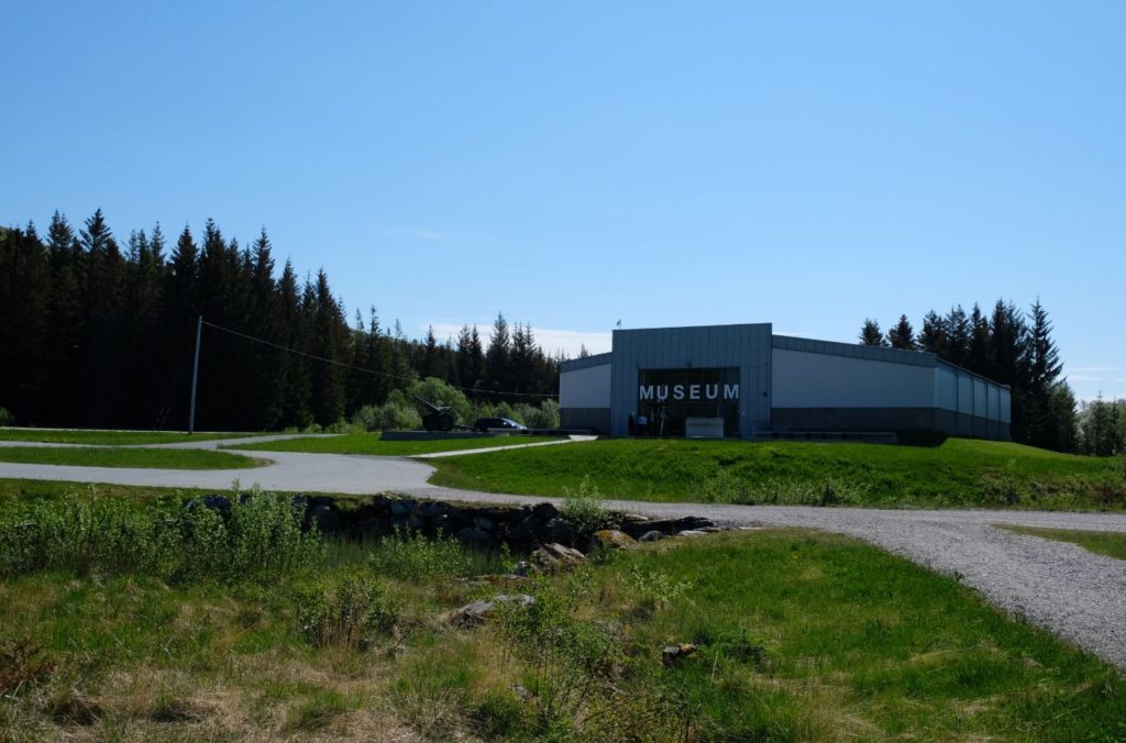
Grønsvik Coastal Fort
Historic Site
The Grønsvik coastal fort was built by Soviet prisoners of war in the period 1942 to 1945 as part of the Atlantic Wall. The Atlantic Wall was designed to protect the German occupied territory from the British and American attacks.
The main task of the fort was to defend the fjord areas towards Mo i Rana and Mosjøen, thus protecting the main road (now the E6) and the Nordlandsbanen (Nordland Railway) from attack.
The main equipment at the Grønsvik fortress was four 155mm field cannons of French origin. The fort had ship cannons and could follow sea targets.
After the war, the fort was subject to major damage. Most of the equipment was repurposed, while the cannons were melted down.
Today it has been partly rebuilt and is now a museum. The exhibitions inside educated about World War II in this part of Norway. Outside you can follow marked trails to explore the ruins of the fort. There are information boards explaining what everything was. There is a memorial to the 77 Soviet and 65 Polish prisoners of war who were forced to participate in the construction of the fort.
The indoor exhibitions are open in summer, while the surrounding area is open and free to walk around throughout the year.
Kleivhalsen
Scenic Overlook
Park your car here and walk up the hill to get some amazing photos.
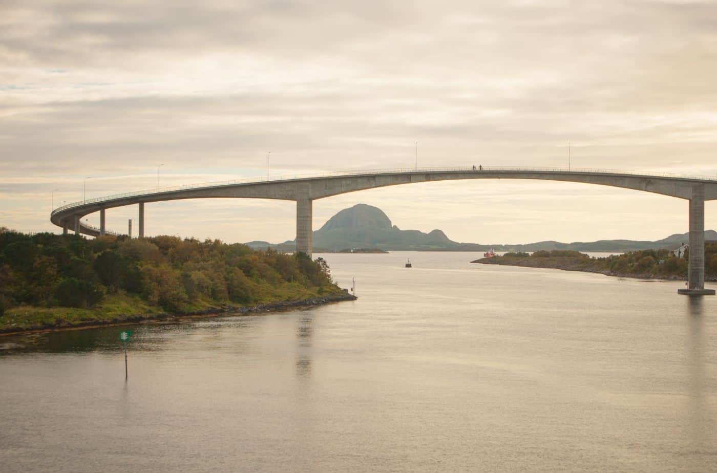
Kilborghavn - Jektvik
Ferry
The ferry journey takes a little over an hour. Normally the staff onboard will announce when you cross the Arctic Circle, and you’ll see the globe by the water!