Geiranger – Lom Scenic Drive

The Geiranger-Lom road is one of the most visited ways to get to Geiranger. It follows the Highway 15 from Otta, which is on the E6 between Trondheim and Oslo. It may seem like just a standard highway to get from A-B, but there’s a lot to see and do!

With incredible photo-stops, scenic overlooks and detours, be sure to spend some time between Geiranger and Lom.

I have done this drive many times with tour groups. In September 2020 I got to do the drive with the husband as part of our roadtrip around southern Norway.

In this article...

Download this Guide

All of our guides can be downloaded via our online store. 

We offer downloadable versions of our self-guided drives on our online store. 

Online Guide

Downloadable Guide

Watch on Youtube

All of our roadtrips are available on YouTube to watch. They include information about the area provided in text and voiceover form, plus they show the drive in full (sped up in some spots!) so you can get an idea what the drive is like. 

The drive: Geiranger to Lom

Geiranger

This drive begins in beautiful Geiranger. I’ve got a lot to say about this place, so I’ve put it in a separate article which you’ll see below.

Knuten

Historic Site

Knuten (the Knot) is a section of the old road. It’s still the same as it was when it opened in 1882. It is a loop road used to get up/down the steep mountain. The road curves 270 degrees, and was designed to reduce the road graient for passing horses and people.

It’s important to note that it’s very hard to see Knuten if you’re going down into Geiranger. It’s best viewed if going up from Geiranger.

Cars are not allowed to go up, but people and bikes can.

Blåfjellbrakka

Historic Site

Blåfjellbrakka is a small cabin from 1904. It was built for those who worked to maintain Geirangervegen. It is the only barracks in the Norwegian Public Roads Administration. The building was restored in 1989 and today it’s a holiday home for employees in the Norwegian Public Roads Administration.

They have a small information board on a wooden shed. You can pull over and have a read.

Dalsnibba

Viewpoint

We are now at the famous Dalsnibba Viewpoint. It’s a lengthy detour, but if you can see the mountain peaks, it’s well worth doing.

At an altitude of 1,746m, you can see Geiranger, the Geirangerfjord, and the road we’ve taken to get here. The view is unlike anything else.

The road is only 5km (3 mi) off the main road, but it takes a long time as the road is narrow, has many hairpin bends, and often has a lot of traffic.

The road has a toll as it is a private road. You can see updated prices via the link in the description. At the top you’ll find a café, souvenir shop, and incredible views. It is often very, very cold and very windy. Bring extra layers! Snow is common all year round.

I wrote a separate article as one of the very first articles for this blog! You can see it here. 

Innlandet County

You cross over into Innlandet county. 

Skjåk Municipality

Skjåk is a municipality in Innlandet. It’s part of the traditional region of Gudbrandsdalen. The name comes from an old farm.

After the last Ice Age, it’s believed reindeer followed the ice as it retreated north to Scandinavia. Skjåk is in the middle of the central migration route for the Scandinavian reindeer. There are ancient large hunting facilities and traces of settlements that show hunting and trapping was important here from the Ice Age until today. There are farm names that date back to the Iron Age. There is a hunting facility for moose from 220-570AD.

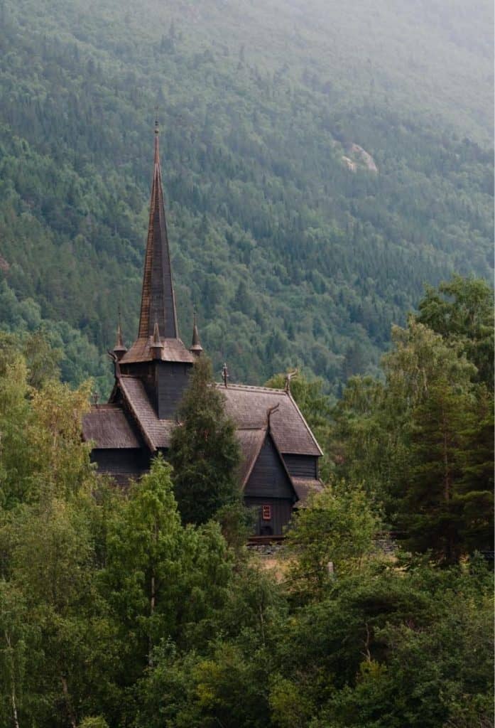
The region is mentioned in the Viking Age and has a rich cultural heritage. St. Olav supposedly travelled through the valley when he was Christianising the villages. He christianised Lom, but Skjåk refused. As a result, the village was burned. St. Olav said: “It’s a pity to burn such a beautiful village”.

There was a high population growth during the Middle Ages, and there were around 120 farms here just before the Black Death in 1349. After the plague, the population was more than halved.

In the second half of the 17th century, the population recovered to the pre-plague numbers. Most of the farms in Skjåk were owned by the farmers. From 1730, the forest began to be exploited for the timber industry.

Geography

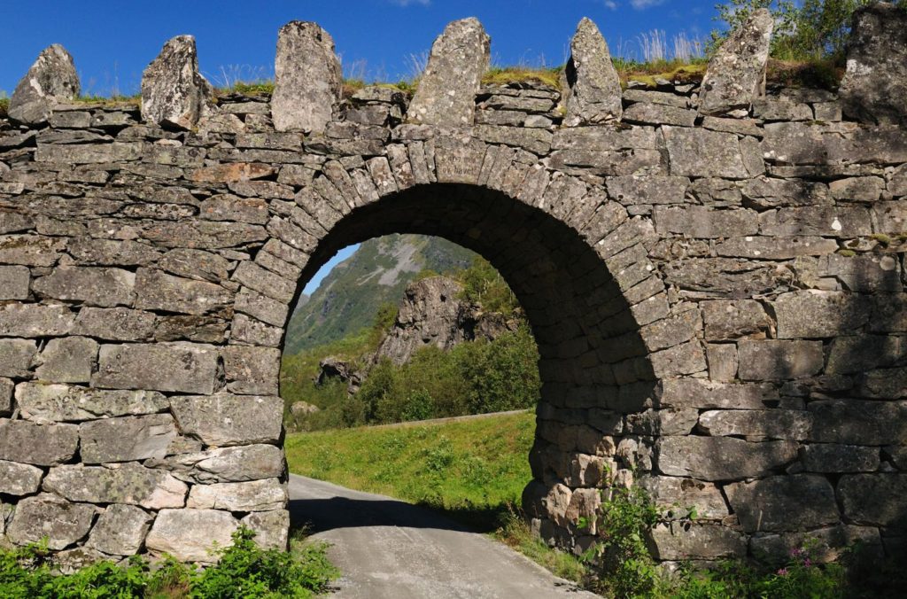
An ancient route of travel between east and west went up from Skjåk through the Raudal valley and then onwards to Stryn. This area is a historically significant traffic artery between Stryn and Nordfjrod, Geiranger, Sunnmøre, Ottadal, Lom and Vågå.

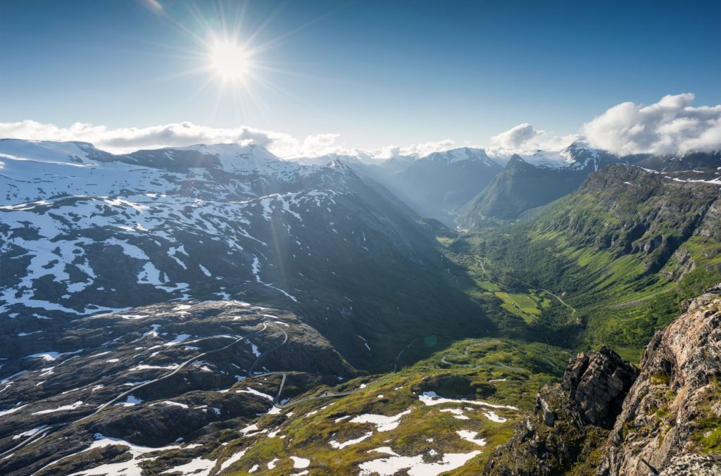
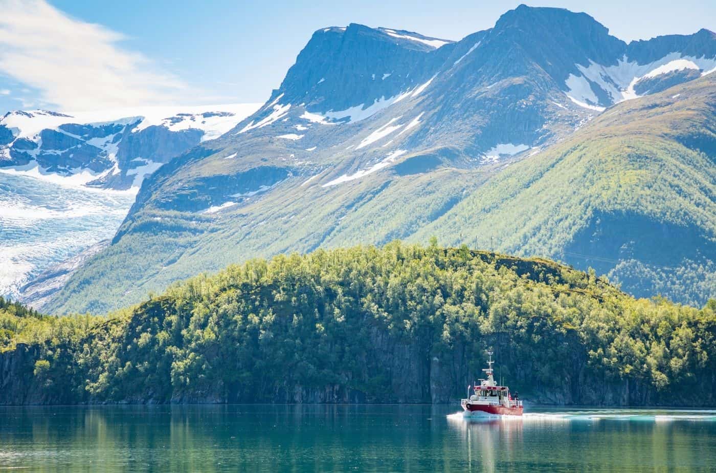
Skjåk is the westernmost part of the Gudbrandsdalen region. The community is at the meeting point between east and west. The valley is rain shadowed and therefore one of the most arid places in Europe with an annual precipitation of 250mm (10 inc) per year. It has a subarctic climate.

Industry

Due to the lack of rain, Agriculture has been enabled by elaborate irrigation systems for hundreds of years. The area is green and productive rather than being desert like. There are long traditions of pig breeding in the municipality. 19% of the population is involved in agriculture and timber.

The main village in Skjåk is Bismo, which has the Otta River flowing through it.

Fun fact: 78% of the municipality is part of a national park.

Gamle Strynefjellsvegen

Tourist Road/Detour

Gamle Strynefjellsvegen is one of Norway’s 18 national tourist roads. It’s the old road that came up here from Stryn.

Unfortunately I have not done this road, so I can’t say too much about it. We were originally going to do it as a detour, but the weather was too bad. It takes about 45 minutes one way, so if you have the time I highly recommend it. To get back to this point quickly, you can take Highway 15 back.

Click here to visit the website for the Gamle Strynefjellsvegen route.

Lom Municipality

You enter Lom municipality. 

Lom

Lom is a beautiful town and well worth a visit when in Norway. It is located between some of Norway’s most famous national parks and is home to Lom Stave Church, one of the most impressive stave churches left. 

Continue the drive

Sognefjellet Tourist Road

From Lom you can get to the Sognefjellet Tourist Road, one of the 18 National Tourist Roads in Norway. 

Previous Route

Trollstigen Tourist Road

Drive from Åndalsnes to Geiranger on one of the most famous tourist drives in Norway. 

This drive is part of the multi-day series “The Ultimate Norwegian Road-trip”, where we cover the best of Norway in an incredible 10 day drive. You can view the whole road-trip via the link below. 

If you liked this drive, or if you have any travel tips, please leave a comment in the section below!