Drive it Yourself: The Coastal Road Day 2 – Namsos to Brønnøysund
On day two of the Norwegian Coastal Road series, you make your way through the back roads first to Rørvik. Rørvik is worth the detour; it is home to the award-winning Coastal Museum and is a perfect way to begin your experience on Norway’s Helgeland Coast. Shortly after joining the Fv17, you’ll begin your journey on the Helgeland Coastal Road.
In this article...
Downloadable Version of This Guide
Download this guide to have it as a PDF ready to go for your road-trip!
All downloadable guides come with an interactive Google Map for easier navigation.
Salsnes is located back on the mainland and is a small village within Namsos municipality.
Lund - Hofles Ferry
This is the first of two ferries you’ll take today. You can find a schedule for the ferry by clicking here.
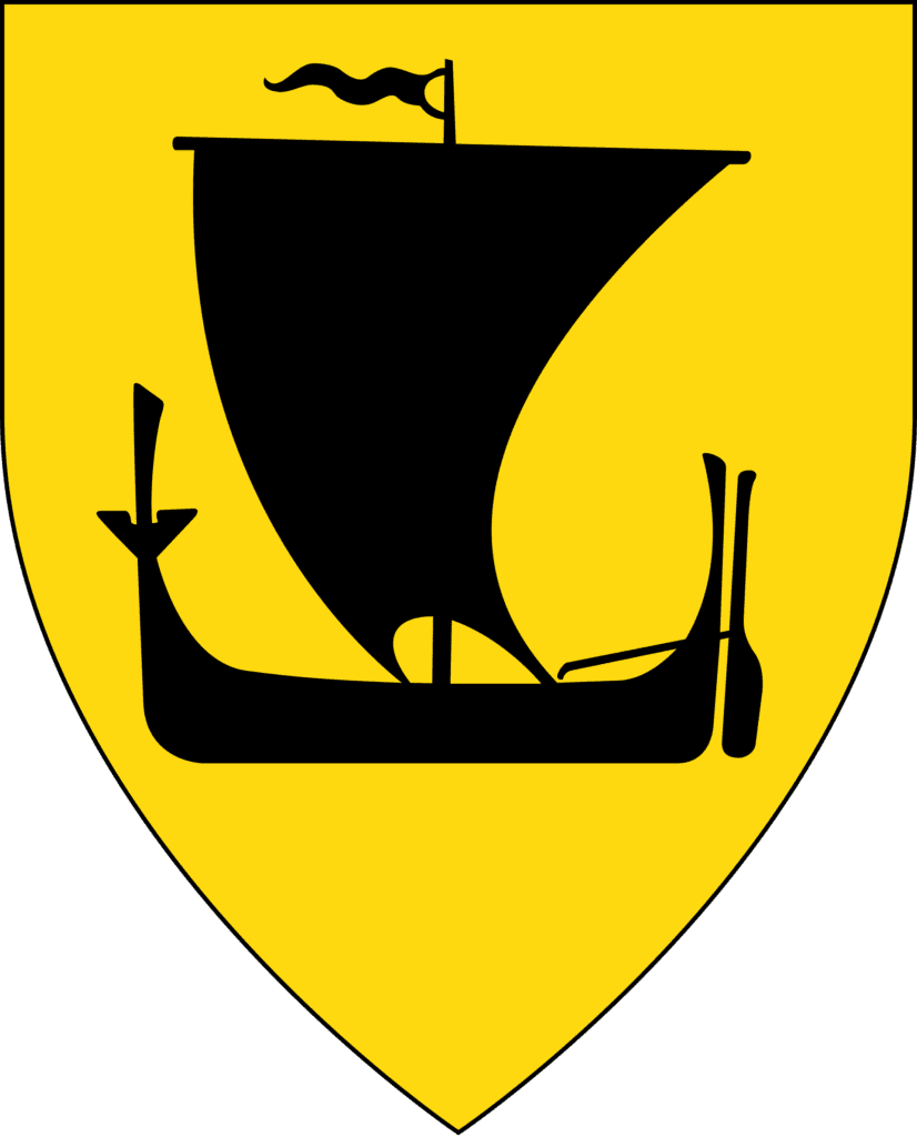
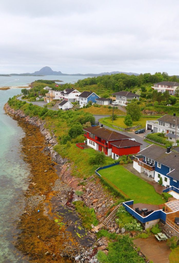
Nærøysund
Nærøysund is a municipality with a population of around 9,700. Rørvik is the administrative centre, which you will arrive at soon.
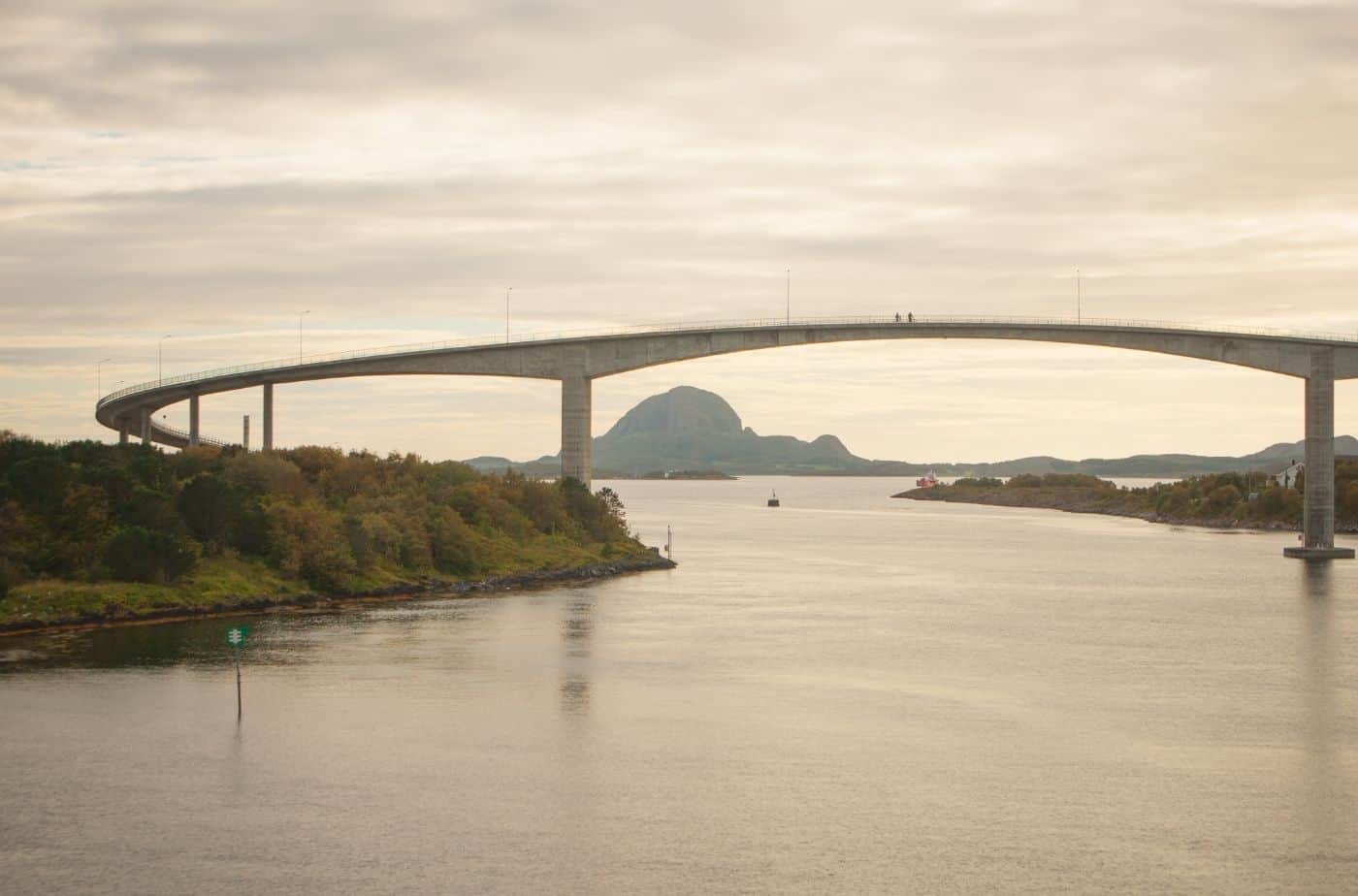
The strait that the road follows is called the Nærøysundet. This straight also runs alongside Rørvik. It is a busy waterway as almost all coastal traffic passes through it, including the Hurtigruten. It is also used as protection for ships waiting for better weather before crossing the open stretch of sea called Folda in the south.
The historic trade and church site on Nærøya is named after the Norse Sea god Njord. It is not possible to get to Nærøya today, but it is still nice to know that this area has been important for trade since the Viking times.
Nærøysund is Norway’s largest aquaculture municipality as well as a large fishing municipality. Together the seafood businesses have a turnover of NOK 6 billion. Agriculture is also an important source of income for the municipality, with Trøndelag’s third-largest milk production.
The winter crayfish fishery at a place called Viknaværene has traditionally been one of the most important fisheries in Norway after the Lofoten fishery.
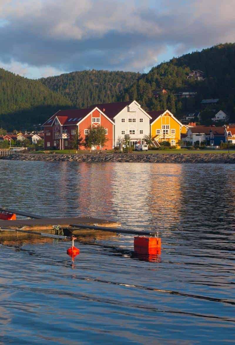
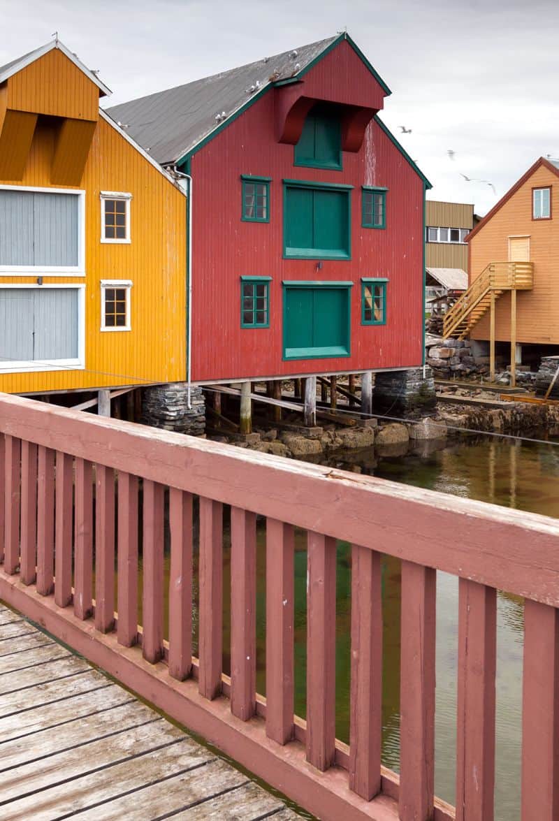
Rørvik
Located on the Nærøysundet Strait, Rørvik has always been an important port town for coastal traffic.
This town will be marked on the highway, so you know you’re going the right way if you see signs towards it. Kolvereid is home to the municipality’s culture centre, comprising of a stage and cinema, a sports hall, as well as outdoor sports facilities.
Gravvik
Gravvik is a small village that focuses on agriculture and fishing, with fish farms for salmon and halibut important to the community. At Gravvik there is a cave and archaeological site called Fingalshulen. The cave has 47 paintings that are estimated to be about 3000 years old. The cave is closed to the public, though.
Nordland County
You now cross into Nordland County, the beginning of Northern Norway.
Bindal Municipality
Bindal is a small municipality within the traditional region of Helgeland. The important industry here is aquaculture, agriculture, forestry, and some Sami reindeer husbandry. The municipality also had a small gold rush in the 1920s, though not much came of it as the amount of gold wasn’t significant enough to commence drilling. Bindal has a long tradition of boat building and the Nordland boards are still built here. Ever since 1978 there have been annual Nordland boat races.
Holm - Vennesund Ferry
At Holm you take the ferry across to Vennesund.
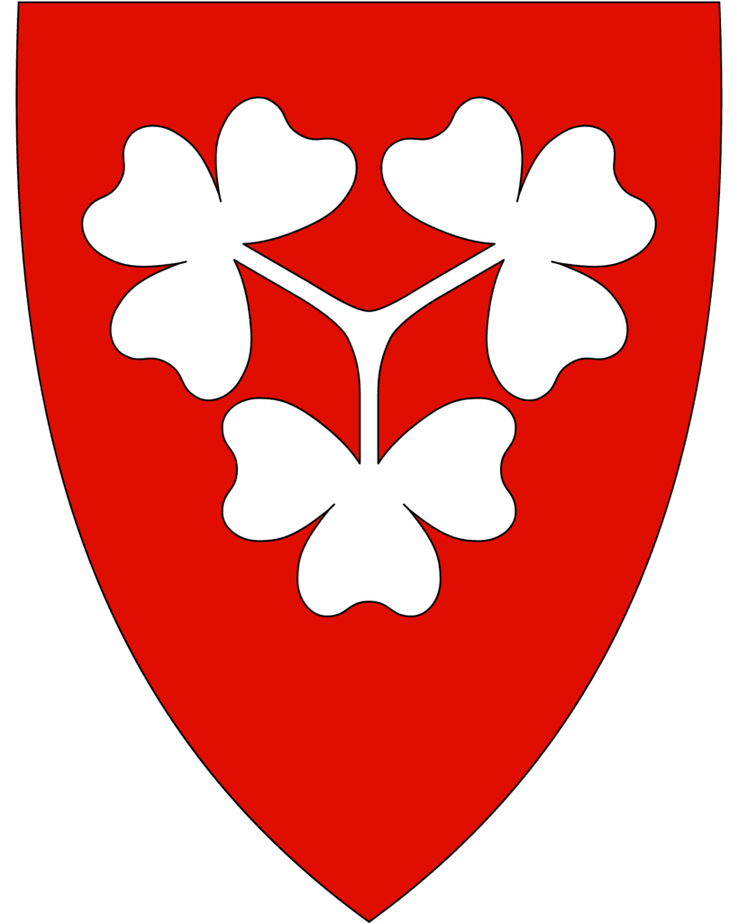
Sømna Municipality
Sømna’s main industries are like the rest of your drive – the area focuses on agriculture, forestry, and fishing. Northern Norway’s largest dairy is located here. In fact, Sømna has some of the best agriculture in the region. Archaeological excavations show that people have been here since the early Iron Age. The oldest boat remains ever found in Norway was discovered in a bog in Sømna. The boat is called the Haugvikbåten and is estimated to be 2,500 years old.
Vik
In Vik you can visit the Sømna Bygdetun, an open-air museum about the municipality. Vik also has Sømna Church, which is from 1876. However, the earliest church records indicate there has been a church here since at least 1432.
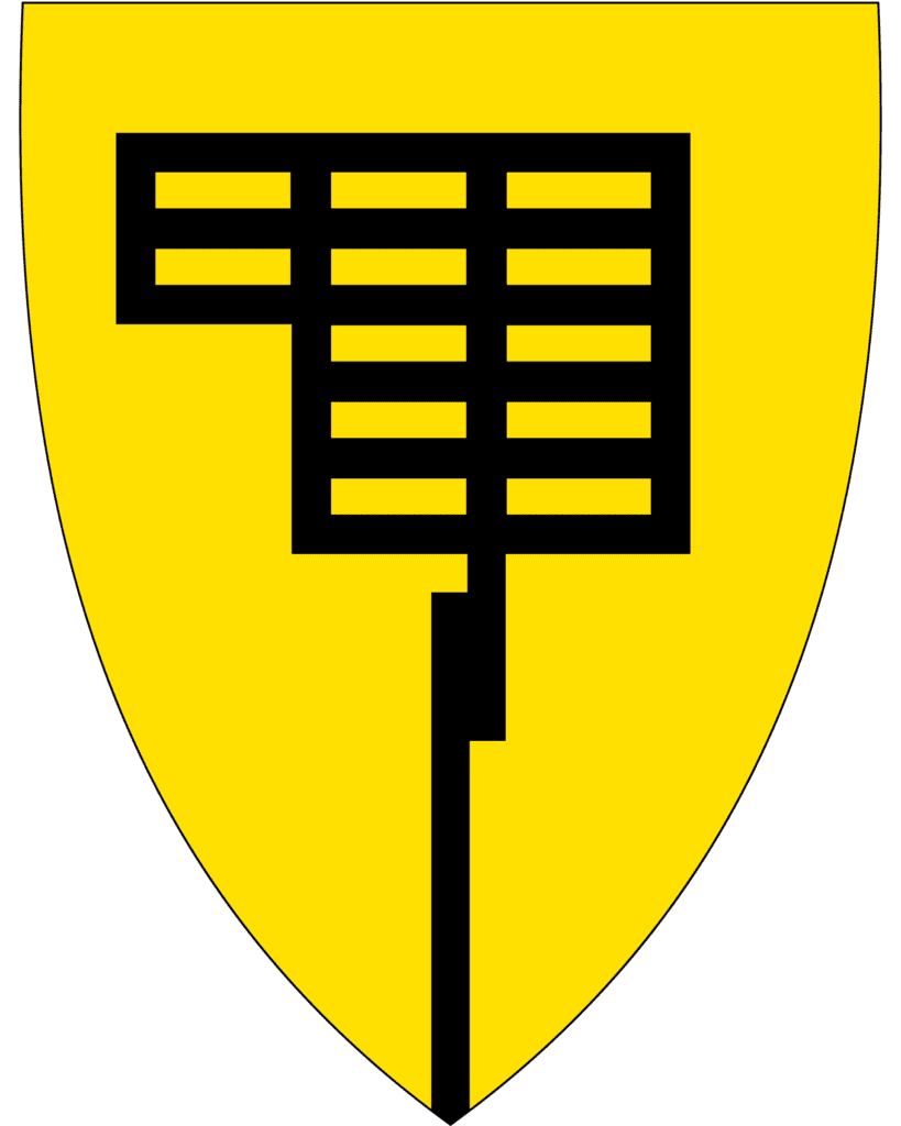
Brønnøy Municipality
Brønnøy is the last municipality for the day, with Brønnøysund being the administrative centre. The coat-of-arms depicts a daymark used in the harbour to guide ships, symbolising the importance of the harbour for the municipality. Brønnøy has a varied landscape, from the archipelago on the coast to high mountains in the east. The world’s northernmost naturally occurring linden forest grows here, and there is a boreal rainforest at the Grønlidalen nature reserve.
The big employers here are the Brønnøysund Register Centre, which is a government service for companies. One of the largest limestone mines in Northern Europe is also located here.
Brønnøysund
You have made it to Brønnøysund, the geographical centre of Norway and starting point for the incredible Helgeland Coastal Road.