
Coastal Ferry Day 9
Sortland - Stokmarknes - Svolvær
Well, this is the big one. Day 9 is widely regarded as one of the most scenic days of sailing on the coastal ferry. Today you spend your time sailing through the traditional regions of Vesterålen and Lofoten. In summer, you will sail into the incredible Trollfjord.
On this day of sailing...
4:20am - 4:40am
Finnsnes
12th port- 69.1 degrees north - population 4,658
About Finnsnes
It is believed that people have lived at Finnsnes since at least 1400, as that’s when the name was first mentioned in writing. However, settlement didn’t really grow until the middle of the 19th century, when people began to move away from the remote areas on the island of Senja and instead established themselves at Finnsnes. Finnsnes became a regular port of call for steamships in 1883, and Hurtigruten began calling here in 1893. Finnsnes grew as the communications hub for the region.
Finnsnes is located close to the island of Senja, which is regarded as the most beautiful island in Norway. Finnsnes is known as the Gateway to Senja.
Shortly before Harstad: Trondenes Church
On the starboard right side just before you enter Harstad, you will pass Trondenes Church. This is the northernmost medieval church in the world.
Trondenes is mentioned in the Old Norse sagas as a power centre in the Viking Age and a place to meet and discuss important issues. Trondenes church dates back to the 13th century. The exterior of the church is one of the best-preserved in Norway, with it almost looking like the original church. The present church is the third to be built on the site; the first was likely a stave church from the 11th century. The present stone church is likely from the year 1435.
The church is known for its rich decorations inside, including three gothic triptychs, one of which was attributed to the Hanseatic artist Bernt Notke.
If you miss it, you will also see the church as soon as you leave Harstad on the port left side.
8am - 8:30am
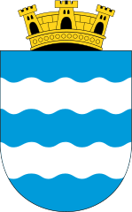
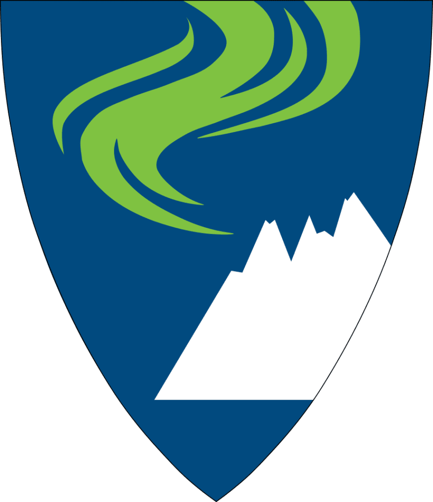
Harstad
13th port- 68.8 degrees north - population 20,953 - Sami name: Hárstták
About Harstad
Harstad is the commercial and administrative centre for the region. The town is known as the ‘Culture Town of the North’ due to a major culture festival that takes place here in June.
The area around Harstad was known during the Viking Age. There is also evidence of a well-developed Iron Age in the area, from around 200AD. In recent years, a 3000-year-old bronze axe and a 2600-year-old bronze collar have been found on Trondenes peninsula. That is the peninsula where Trondenes Church is.
The excellent harbour conditions here are the reason for Harstad’s development, which took place in the late 19th and early 20th centuries. The first major population boom was in the 1870s thanks to the rich herring grounds, and Harstad built its first large quayside in 1888. The rich herring grounds led to the construction of herring oil factories along the coast.
Harstad was chosen as the headquarters for the Regional Armed Forces and as the side of the officers’ training college in the new military district of Northern Norway, though its military importance is shrinking today. The military college closed in 2003.
Harstad survived the war years without much damaged and continued to grow after the war.
Besides fishing and administrative services, the oil industry of Northern Norway is in Harstad. Harstad also has shipyards, and it is one of the most important agricultural regions for Northern Norway. There is a university college and university hospital here.
The coat-of-arms represents the sea, with the crown representing the city of Harstad.
You can learn more about Harstad on our travel guide page.
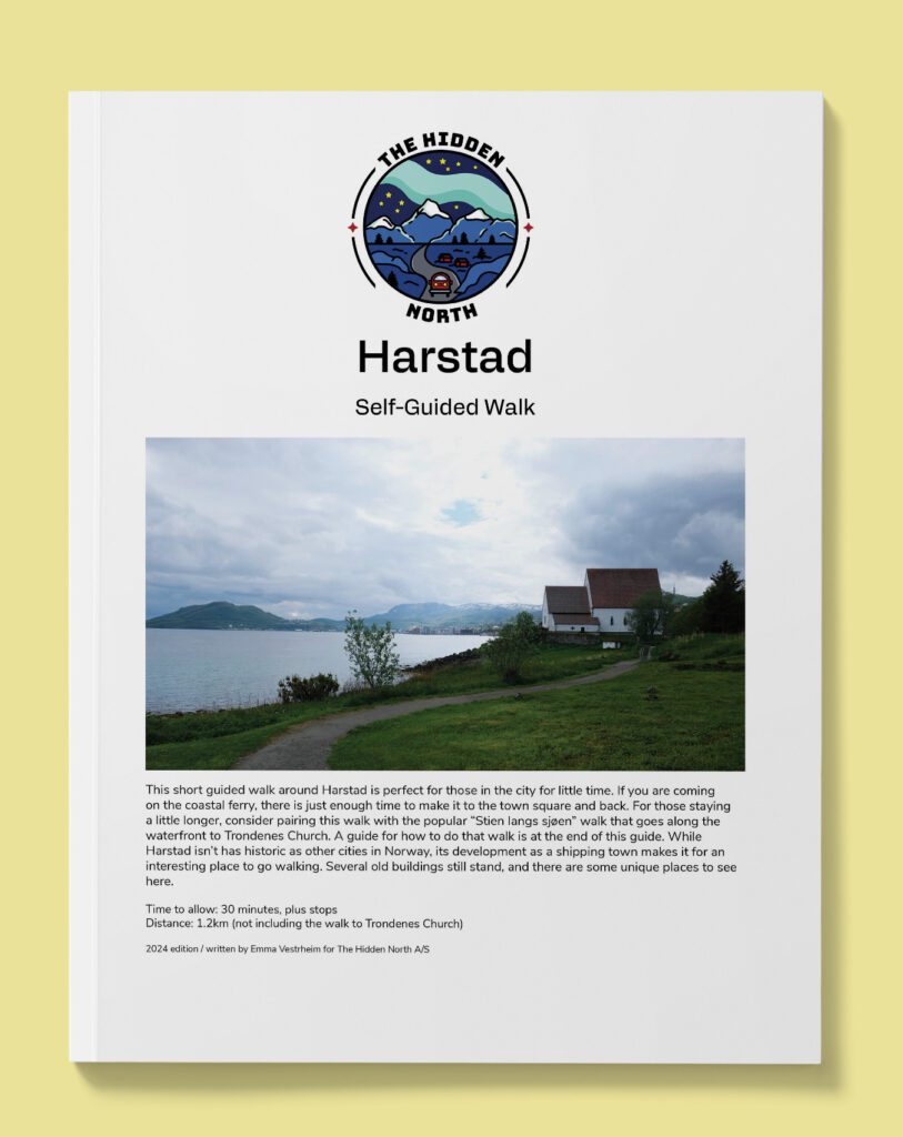
Harstad from the Coastal Ferry Self-Guided Walk
The coastal ferry doesn’t dock in Harstad for long, but there is just enough time to make your way to the main square of Harstad and see the historic buildings. Follow this guide to make the best use of your time.
Excursions
Hurtigruten
+1 hour 30 minutes after Harstad: Andøya Island
Andøya is a unique island in Norway. It is comprised of marshy grounds that are rich in cloudberries. The only Norwegian deposits of coal outside of Svalbard have been found on the island, however there is not enough for it to be economically viable. The island is also known from its large number of fossils.
You can read more about Andøya on our dedicated page. The next port, Risøyhamn, is on Andøya island.
+1 hour 38 minutes after Harstad: Risøysundet
Risøysundet is the shallow sound between Andøya and Hinnøya, and Risøyrenna. Risøyrenna is a part of the channel for ships that sail on the inside of Andøya when sailing along the coast. The channel is 4,850m long, 6m deep and is 50m wide.
Due to the land rising, the channel has had to be dredged. It was shallow enough for the chieftains during the Viking Age (Risøyrenna is mentioned in the sagas and there are ancient settlements along the channel), but for the steamships sailing to Bergen it was too shallow. The first dredging operations were carried out from 1876 to 1881. From 1911 to 1922 work continued to create the 5m depth. Only after these dimensions were reached could Hurtigruten sail.
Normally the expedition team do a point of interest talk about Risøysundet.
10:45am - 11am
Risøyhamn
14th port - 68.9 degrees north - population 216
About Risøyhamn
Risøyhamn is the smallest port of call on the coastal ferry. The community used to be an active trading post for the many ships sailing through the sound. However, the currents and tides brought sand deposits that caused the depth of the strait to decrease, preventing modern ships from sailing.
Captain Richard With, the founder of Hurtigruten, bought the trading post and moved to Risøyhamn in 1875. He began to restore the strait and organised the first dredging operations.
Risøyhamn is located on the island Andøya, which is known for its unique beauty and has one of Norway’s 18 national tourist roads on it. Risøyhamn is part of Andøy municipality
The family that bought the trading post in 1902 still owns it today.
What You See from the Ship
You will see the 750m-long Andøybrua, which crosses Risøysundet, connecting the island Andøya with the island Hinnøya.
Down by the water is the old trading post.
+54 minutes after Risøyhamn: Jennestad
The old trading post of Jennestad can be seen on the starboard site. The trading post was established in 1830 but expanded in 1863 after the large wooden building was constructed. The large building housed a store, post office, warehouse, landing stage, salt store, offices and workshops. It was said that ‘anything’ could be bought here. In total there were 14,000 varieties of goods for sale!
Jennestad lost its central role when the Risøyrenna ship channel was opened. Today the building is a museum and cultural heritage centre.
Just before Sortland: Return of the Vesterålen Excursion
If you didn’t join the Vesterålen excursion, be sure to head to the front of the ship when you go under the Sortland Bridge. The buses from the Vesterålen excursion time their drive across with the ship going under the bridge. Staff will give you Norwegian flags to wave, and it’s a lot of fun.
12:30pm - 1pm
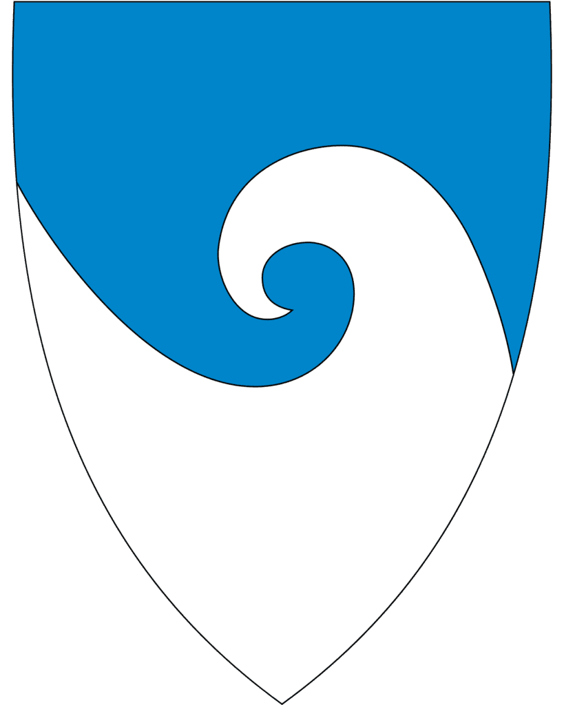
Sortland
15th port - 68.4 degrees north - population 10,566 - Sami name: Suortá
About Sortland
The town of Sortland is the regional centre of the Vesterålen region.
Archaeological finds indicate that the area has been inhabited for 5,000 years and 270 graves from the Iron Age have been found here. Written sources from 1370 indicate there was a church here, and in documents from 1567 several farms are mentioned. The first merchant settled here in 1659 after arriving from Bergen. That is considered the ‘founding’ date of Sortland.
Towards the end of the 19th century there were large herring catches in the waters around Sortland. The first cannery was built in 1912 and up to 120 people worked at the factory. Sortland grew as a town thanks to the Risøyrenna channel that was dredged in 1922, allowing larger ships to come here. Sortland became a port of call after the dredging. It eventually became the busiest trading post in Vesterålen, with schools built and a traffic hub established.
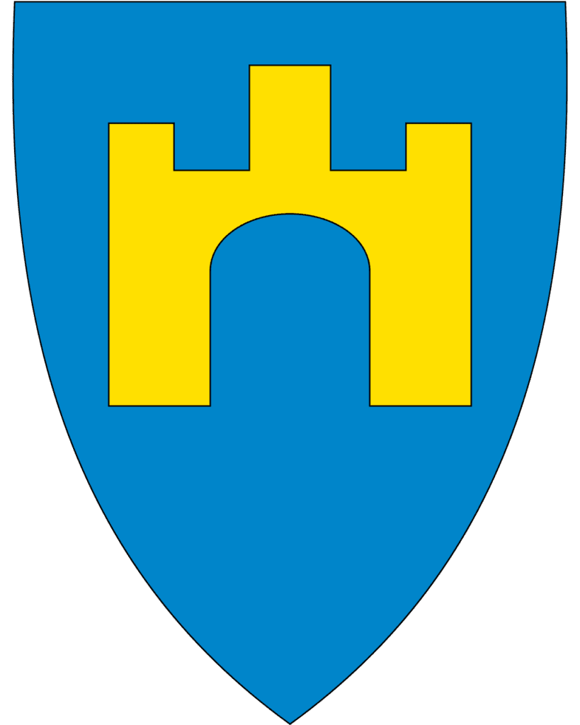
The coat-of-arms features a castle, symbolising Sortland as the gateway to the Vesterålen region.
What You See from the Ship
You will notice the town is blue. This is an initiative to paint all of the buildings a different shade of blue. In 1999, the artist Bjørn Elvenes came up with the idea to paint the buildings blue in an attempt to put Sortland on the map. Many locals didn’t want to do it (you can see not all the buildings are blue), but the municipality liked it.
The current Sortland church is likely the 5th or 6th on the site and is from 1901.
3pm - 5:25pm

Stokmarknes
16th port - 68.3 degrees north - population 3,429
About Stokmarknes
Stokmarknes is a town within Hadsel municipality. It is regarded as the birthplace of Hurtigruten.
It is believed that people lived here for a long time, with ancient settlements from the Iron Age, including burial sites and boathouse remains, being found here. The town got official status in 1776 as a trading post due to its strategic location on the outer side of Vesterålen.
Around 1900, many industrial and commercial innovations occurred in Stokmarknes within communications, trade and public services. Captain Richard With from Stokmarknes founded the company Vesteraalens Dampskibsselskap AS in 1881 and the first Hurtigruten ship ‘Vesteraalen’ left the quayside in Trondheim for Hammerfest in 1893. Stokmarknes is the ship’s home port. The shipping company had its headquarters at Stokmarknes until 1988.
In Stokmarknes you have time to visit the Hurtigruten Museum. There are exhibitions of photographs, paintings, boat models, films and videos about the history of Hurtigruten and its importance for those living along the coast. The large, modern building houses the ship MS Finnmarken, which was built in 1956 and sailed along the coast until 1993. It is open to walk around in.
Stokmarknes Airport is one of Norway’s most used regional airports with approximately 100,000 passengers annually.
Excursions
Havila
+1 hour after Stokmarknes: Raftsundet
Approximately one hour after leaving Stokmarknes, the ship begins its most scenic stretch of sailing: Raftsundet.
Be outside!
Raftsundet is a 26km-long strait that separates the regions of Lofoten and Vesterålen. It is part of the main shipping traffic between the two regions. The mountains around the strait are approximately 1000m high. You will notice scattered settlemenets on the port left side; these do have a road access.
The ship will pass through the Raftstundet Bridge. It has a length of 711m and a main span of 298m. When the bridge opened in 1998, it was the world’s second largest span of its type.
Trollfjord
In the summer months the coastal ferry goes into the Trollfjord. It is considered to be one of the highlights of the Hurtigruten voyage. In winter, the ship sails past the Trollfjord and slows down so you can see it. Trollfjord is approximately 2.5km long and just 100m wide at the mouth. The mountains here are approximately 1000m above sea level.
The Expedition Team will normally do a presentation on the outdoor deck about the Trollfjord.
You can find our separate article for the Trollfjord below.
+2 hours 17 minutes after Stokmarknes: Digermulen
In the summer months the coastal ferry goes into the Trollfjord. It is considered to be one of the highlights of the Hurtigruten voyage. In winter, the ship sails past the Trollfjord and slows down so you can see it. Trollfjord is approximately 2.5km long and just 100m wide at the mouth. The mountains here are approximately 1000m above sea level.
The Expedition Team will normally do a presentation on the outdoor deck about the Trollfjord.
You can find our separate article for the Trollfjord below.
6:30pm - 8:30pm
Svolvær
17th port - 68.2 degrees north - population 4,270
About Svolvær
Svolvaer is the largest city in the Lofoten Islands. It is a relatively young city; it was established in the early 20th century as a modern fishing port away from Kabelvåg, which had become too small. Despite that, it’s believed there was a settlement at the foot of the mountains during the early Bronze Age.
On the southbound journey you have two hours here, which is plenty of time to explore the town. Svolvaer is the arts and culture centre of Lofoten and you will be able to visit the galleries. We strongly recommend you visit the World War II museum in town and do our self-guided walk out to the fishing village.
What You See from the Ship
As you come into Svolvaer, on the starboard right side will be a statue of a woman looking out to see.
You will then pass the fish drying racks on the right side.
Svolvaer Church is clearly visible in town. It was built in 1934 and seats up to 400 people.
Excursions
Kabelvåg & Henningsvær
Shortly after leaving Svolvaer, you will pass two villages on the starboard right side. The first village is Kabelvåg, which is the oldest settlement in Lofoten, while the second village is Henningsvaer, a charming little village. Around the same time, the northbound coastal ferry ship will pass by.
You can learn more about both of them via our travel guide.
7:15pm - 7:45pm
Stamsund
18th port - 68 degrees north - population 1,077
About Stamsund
Stamsund is located at the foot of the mountain Steinstinden and is built out on a couple large rocks. Stamsund is well worth staying up for. The village was built around 1900 as Norway’s largest manufacturer and exporter of dried cod started a major enterprise here in 1876 and it held the status as the largest employer in the area up until the 1980s. Today one of the country’s largest fish filleting plants are located here, along with other fish processing industries.
You can read more about Stamsund on our travel guide below.