
Coastal Ferry Day 5
Tromsø
Today you get all afternoon to enjoy the city of Tromsø.
On this day of sailing...

Coastal Ferry Guide
You can find all this information plus so much more in my coastal ferry guidebook, available both in print and as a digital book.

1:30am - 1:40am
Stokmarknes
17th port - 68.3 degrees north - population 3,429
About Stokmarknes
Stokmarknes is a town within Hadsel municipality. It is regarded as the birthplace of Hurtigruten.
It is believed that people lived here for a long time, with ancient settlements from the Iron Age, including burial sites and boathouse remains, being found here. The town got official status in 1776 as a trading post due to its strategic location on the outer side of Vesterålen.
Around 1900, many industrial and commercial innovations occurred in Stokmarknes within communications, trade and public services. Captain Richard With from Stokmarknes founded the company Vesteraalens Dampskibsselskap AS in 1881 and the first Hurtigruten ship ‘Vesteraalen’ left the quayside in Trondheim for Hammerfest in 1893. Stokmarknes is the ship’s home port. The shipping company had its headquarters at Stokmarknes until 1988.
In Stokmarknes you have time to visit the Hurtigruten Museum. There are exhibitions of photographs, paintings, boat models, films and videos about the history of Hurtigruten and its importance for those living along the coast. The large, modern building houses the ship MS Finnmarken, which was built in 1956 and sailed along the coast until 1993. It is open to walk around in.
Stokmarknes Airport is one of Norway’s most used regional airports with approximately 100,000 passengers annually.
2:55am - 3:10am
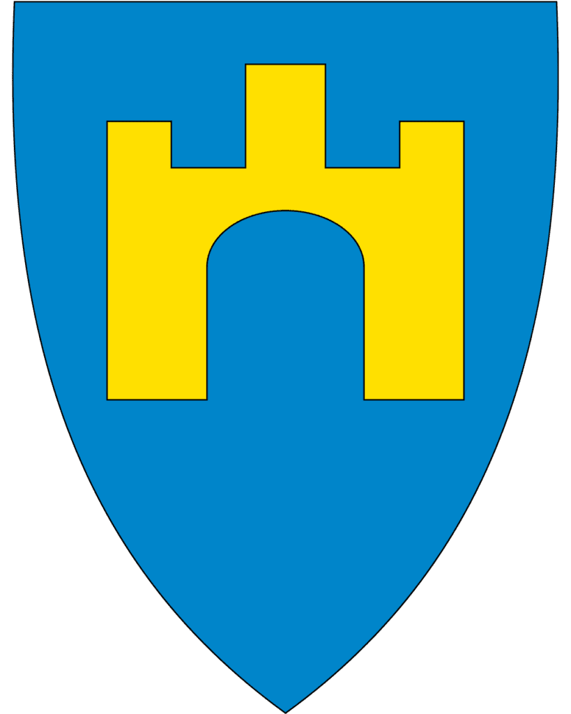
Sortland
18th port - 68.4 degrees north - population 10,566 - Sami name: Suortá
About Sortland
The town of Sortland is the regional centre of the Vesterålen region.
Archaeological finds indicate that the area has been inhabited for 5,000 years and 270 graves from the Iron Age have been found here. Written sources from 1370 indicate there was a church here, and in documents from 1567 several farms are mentioned. The first merchant settled here in 1659 after arriving from Bergen. That is considered the ‘founding’ date of Sortland.
Towards the end of the 19th century there were large herring catches in the waters around Sortland. The first cannery was built in 1912 and up to 120 people worked at the factory. Sortland grew as a town thanks to the Risøyrenna channel that was dredged in 1922, allowing larger ships to come here. Sortland became a port of call after the dredging. It eventually became the busiest trading post in Vesterålen, with schools built and a traffic hub established.
The coat-of-arms features a castle, symbolising Sortland as the gateway to the Vesterålen region.
What You See from the Ship
You will notice the town is blue. This is an initiative to paint all of the buildings a different shade of blue. In 1999, the artist Bjørn Elvenes came up with the idea to paint the buildings blue in an attempt to put Sortland on the map. Many locals didn’t want to do it (you can see not all the buildings are blue), but the municipality liked it.
The current Sortland church is likely the 5th or 6th on the site and is from 1901.
4:35am - 4:50am
Risøyhamn
19th port - 68.9 degrees north - population 216
About Risøyhamn
Risøyhamn is the smallest port of call on the coastal ferry. The community used to be an active trading post for the many ships sailing through the sound. However, the currents and tides brought sand deposits that caused the depth of the strait to decrease, preventing modern ships from sailing.
Captain Richard With, the founder of Hurtigruten, bought the trading post and moved to Risøyhamn in 1875. He began to restore the strait and organised the first dredging operations.
Risøyhamn is located on the island Andøya, which is known for its unique beauty and has one of Norway’s 18 national tourist roads on it. Risøyhamn is part of Andøy municipality
The family that bought the trading post in 1902 still owns it today.
What You See from the Ship
You will see the 750m-long Andøybrua, which crosses Risøysundet, connecting the island Andøya with the island Hinnøya.
Down by the water is the old trading post.
Trondenes Church
On the starboard right side just before you enter Harstad, you will pass Trondenes Church. This is the northernmost medieval church in the world.
Trondenes is mentioned in the Old Norse sagas as a power centre in the Viking Age and a place to meet and discuss important issues. Trondenes church dates back to the 13th century. The exterior of the church is one of the best-preserved in Norway, with it almost looking like the original church. The present church is the third to be built on the site; the first was likely a stave church from the 11th century. The present stone church is likely from the year 1435.
The church is known for its rich decorations inside, including three gothic triptychs, one of which was attributed to the Hanseatic artist Bernt Notke.
If you miss it, you will also see the church as soon as you leave Harstad on the port left side.
7:10am - 7:45am
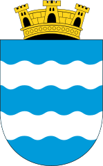
Harstad
20th port 68.8 degrees north - population 20,953 - Sami name: Hárstták
About Harstad
Harstad is the commercial and administrative centre for the region. The town is known as the ‘Culture Town of the North’ due to a major culture festival that takes place here in June.
The area around Harstad was known during the Viking Age. There is also evidence of a well-developed Iron Age in the area, from around 200AD. In recent years, a 3000-year-old bronze axe and a 2600-year-old bronze collar have been found on Trondenes peninsula. That is the peninsula where Trondenes Church is.
The excellent harbour conditions here are the reason for Harstad’s development, which took place in the late 19th and early 20th centuries. The first major population boom was in the 1870s thanks to the rich herring grounds, and Harstad built its first large quayside in 1888. The rich herring grounds led to the construction of herring oil factories along the coast.
Harstad was chosen as the headquarters for the Regional Armed Forces and as the side of the officers’ training college in the new military district of Northern Norway, though its military importance is shrinking today. The military college closed in 2003.
Harstad survived the war years without much damaged and continued to grow after the war.
Besides fishing and administrative services, the oil industry of Northern Norway is in Harstad. Harstad also has shipyards, and it is one of the most important agricultural regions for Northern Norway. There is a university college and university hospital here.
The coat-of-arms represents the sea, with the crown representing the city of Harstad.
You can learn more about Harstad on our travel guide page.
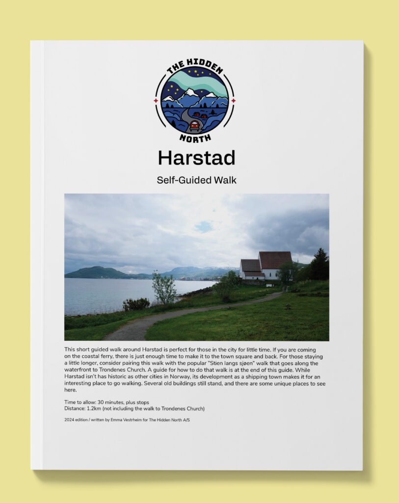
Harstad from the Coastal Ferry Self-Guided Walk
The coastal ferry doesn’t dock in Harstad for long, but there is just enough time to make your way to the main square of Harstad and see the historic buildings. Follow this guide to make the best use of your time.

11am - 11:30am
Finnsnes
21st port- 69.1 degrees north - population 4,658
It is believed that people have lived at Finnsnes since at least 1400, as that’s when the name was first mentioned in writing. However, settlement didn’t really grow until the middle of the 19th century, when people began to move away from the remote areas on the island of Senja and instead established themselves at Finnsnes. Finnsnes became a regular port of call for steamships in 1883, and Hurtigruten began calling here in 1893. Finnsnes grew as the communications hub for the region.
Finnsnes is located close to the island of Senja, which is regarded as the most beautiful island in Norway. Finnsnes is known as the Gateway to Senja.
2:15pm - 6:15pm
Tromsø
22nd port - 69.4 degrees north - population 77,095 - Sami name: Romsa
About Tromsø
Tromsø is Norway’s fourth-largest city.
Tromsø is the largest city in Northern Norway and the third-largest above the Arctic Circle (following Murmansk and Norilsk). The city is located on an island called Tromsøya.
The city contains the highest number of wooden houses for any town in Northern Norway because it was one of the few places in the Arctic to avoid the Nazis scorched earth policy in 1944/45.
Tromsø has one of Norway’s major universities and university hospitals. Many festivals take place here, including the Tromsø International Film Festival. The Tromsø techno scene is the origin of many of Norway’s most important artists in electronic music.
Tromsø is the largest fishing port in Norway and was an important place for Arctic hunting, trade and expeditions. You can learn about that at the Polar Museum. The midnight sun is from 18 May to 26 July, and the polar night is from 21 November to 21 January.
The ship docks in the city centre for four hours, meaning you have plenty of time to explore.
Excursions
Explore Tromsø Independently
Our self-guided walking tour of Tromsø will give you a great introduction to the city as well as plenty of ideas for where to go during your time in the city.
Tromsø from the Coastal Ferry Self-Guided Walk
Tromsø is one of the most historic cities in Northern Norway, and this self-guided walk will take you past the major attractions including the cathedral, shopping street, hotdog stand, and Polar Museum.
10:10pm - 10:25pm
Skjervøy
23rd port - 70 degrees north - population 2,927 - Sami name: Skiervvá suohkan
About Skjervøy
Skjervøy Church is worth going out to see. The first church was built in Skjervøy in 1589 but it was probably built much earlier in the century. The current church is from 1728 and it has been expanded a few times since then (you’ll be able to tell looking at the church). It’s believed the first church built here was actually a missionary church for the Sami to practice Christian teaching, baptise children and bury the dead according to church practices. The location is strategic as Skjervøy is located at the entrance to three large fjords. In 1666 tax documents showed that there were 14 Sami taxpayers and no Norwegians. The church functioned as a church for travelling Norwegian fishermen.
Skjervøy became a good meeting place for fishermen and merchants. Travellers came from Sweden and Finland to exchange goods with the fishermen. The shipping route became known as the Hamburger Route, with a large ship sailing between Vadsø and Hamburg in Germany and stopping in Skjervøy.
Skjervøy was the first port of call for the Fram after its three-year North Pole expedition carried out by Fridtjof Nansen.