Today on the ferry you will cross the Arctic Circle some time in the morning. After a couple hours in Bodø, you head across to the magical Lofoten Islands – be sure to be outside all evening!
On this day of sailing...
Coastal Ferry Guide
You can find all this information plus so much more in my coastal ferry guidebook, available both in print and as a digital book.
I filmed the entire coastal ferry journey in winter, and have released a day-by-day guide on YouTube! Watch the video to see how the voyage changes throughout the seasons, plus what you can see and do in each port.
Brønnøysund is located in the geographic centre of Norway. It was developed in the early 20th century as a communications hub for coastal traffic. Brønnøysund became its own municipality in 1923, and in 2023 they are celebrating their 100th anniversary.
The name Brunney is first mentioned in 1334 and refers to a spring. In old times, seafarers could find drinking water on the islands here. Brønnøysund is most known to Norwegians, however, for having the Brønnøysund Register, which is where businesses in Norway have to be registered.
Brønnøysund has an airport with connections to surrounding cities and there are bus routes that go up and down the coast.
Sandnessjøen was a small community until the 1870s, when a telegraph company, a bank and a steamship company all opened offices here. The Hurtigruten began calling in 1893 and the municipal centre moved here. Sandnessjøen got a town charter in 1999 and has developed into the communications and administrative hub for the region.
However, Sandnessjøen is also an old place. The Viking Torolv Kveldulvsson, who is mentioned in Egil’s Saga, lived in this region. Torolv and his wife Sigrid had moved here and achieved great power in the region. Torolv was given the right to levy the ‘Finn tax’ for the King (taxes that came from the Sami) and Torolv is the first known exporter of dried fish from Northern Norway. He would send his men to Vågan in Lofoten to fish for cod and then have the fish sent to England. Torolv and Sigrid had their own islands where they collected eggs and harvested feathers and down. However, Torolv and King Harald Hårfagre fell out and Harald had Torolv assassinated. It’s believed the descendants of Torolv are the ones who settled on Iceland. There’s no remains of the old Viking settlement, but there is a recreated Viking longhouse. It’s not visible or walkable from the ship.
Sandnessjøen eventually developed as a place for skippers, with the first-known citizen being a person from Bergen, Peder Nielsen Aars.
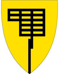
The municipality of Nesna stretches out over three islands – Tomma, Hugla and Handesøya. The name ‘Nesna’ doesn’t come from the name of the town but rather the name of the peninsula the town is built on. The coat-of-arms represent a headland surrounded by water. The village of Nesna used to have a college and has been a seat of learning for almost 200 years. Klokkargarden is Norway’s oldest schoolhouse and the Nesna College of Further Education is Northern Norway’s second-oldest higher educational institution.
What You See from the Ship
Nesna Church is a beautiful church that is clearly visible from the ship. The church was built in 1880 in the neo-gothic style and it seats around 480 people. The earliest church was likely standing here in the 15th century, though.
Between 7:30am and 8:30am the ship will cross the Arctic Circle. There will be an announcement approximately 10 minutes before the crossing, so be sure to head outside and take a picture of the globe monument.
10am - 10:10am
Ørnes
13th port - 66.5 degrees north - population 1,652
About Ørnes
Ørnes is the main centre for Meløy municipality. It has been permanently settled since 1610, when a farmer lived and paid taxes here. The growth of Ørnes began in 1794, when a member of the wealthy Benkestok family leased the farm and opened a trading post. The trading post was the basis for Ørnes becoming a town and buildings still stand today from the old trading post – they will be visible from the ship. They include fishermens cabins, boathouses and barns.
It is recommended to wake up early and see Ørnes – it is considered one of the most beautiful ports on Hurtigruten.
Normally the ship will do the Arctic Circle ceremony after leaving Ørnes. Then it’s lunch time. After that, you are getting close to the next port.
Approach to Bodø
The last 30 minutes before Bodø is interesting and worth heading out to see. You will pass Bodø’s airport on the starboard right side. On a clear day, you can already see the Lofoten Islands far off on the port sid.
1:05pm - 3:20pm
Bodø
14th port - 67.2 degrees north - population 52,357
Bodø was officially founded in 1816 in an attempt to end the trade monopoly Bergen had. Bodø was chosen because of its central location to the fisheries. The town didn’t experience growth until 1864, when there was a very good herring season. The herring disappeared in the mid-1880s, and Bodø had to readjust. Schools and a steamship quay were constructed.
On the 27th of May 1940, just after British engineers finished building the airport, most of Bodø was destroyed by German air raids. Over half the population was left homeless. The town was reconstructed after the war.
Today Bodø is Northern Norway’s second-largest city and has a hospital and university. It was also selected as the European Capital of Culture for 2025.
Bodø During the Polar Night
Join me for a walk around Bodø in December around the polar night season. This walk was done during the coastal ferry journey when in port.
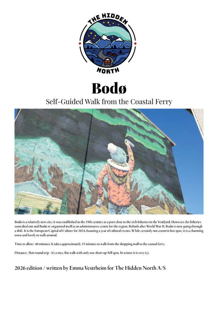
You can follow our self-guided walking tour of Bodø, which starts at the Hurtigruten pier and finishes next to the shopping mall.
Bodø from the Coastal Ferry Self-Guided Walk
Bodø is a charming modern city well-known for its collection of street art. In 2025, Bodø was the European Capital of Culture! On my walk, you’ll explore this lovely city and see some the best artworks.
After leaving Bodø, the ferry crosses the Vestfjord over to the Lofoten Islands. On a clear day, it is well worth being outside as the ship gets closer to Lofoten.
7:30pm - 7:45pm
Stamsund
15th port - 68 degrees north - population 1,077
About Stamsund
Stamsund is located at the foot of the mountain Steinstinden and is built out on a couple large rocks. Stamsund is well worth staying up for. The village was built around 1900 as Norway’s largest manufacturer and exporter of dried cod started a major enterprise here in 1876 and it held the status as the largest employer in the area up until the 1980s. Today one of the country’s largest fish filleting plants are located here, along with other fish processing industries.
You can read more about Stamsund on our travel guide below.
Shortly before Svolvaer, you will pass two villages on the port left side. The first village is Kabelvåg, which is the oldest settlement in Lofoten, while the second village is Henningsvaer, a charming little village. Around the same time, the northbound coastal ferry ship will pass by.
You can learn more about both of them via our travel guide.
Svolvaer is the largest city in the Lofoten Islands. It is a relatively young city; it was established in the early 20th century as a modern fishing port away from Kabelvåg, which had become too small. Despite that, it’s believed there was a settlement at the foot of the mountains during the early Bronze Age.
On the southbound journey you have two hours here, which is plenty of time to explore the town. Svolvaer is the arts and culture centre of Lofoten and you will be able to visit the galleries. We strongly recommend you visit the World War II museum in town and do our self-guided walk out to the fishing village.
What You See from the Ship
As you come into Svolvaer, on the starboard right side will be a statue of a woman looking out to see.
You will then pass the fish drying racks on the right side.
Svolvaer Church is clearly visible in town. It was built in 1934 and seats up to 400 people.