Description
Looking to enhance your Norwegian road-trip? Get our guide to the E16 highway from Oslo to Bergen!
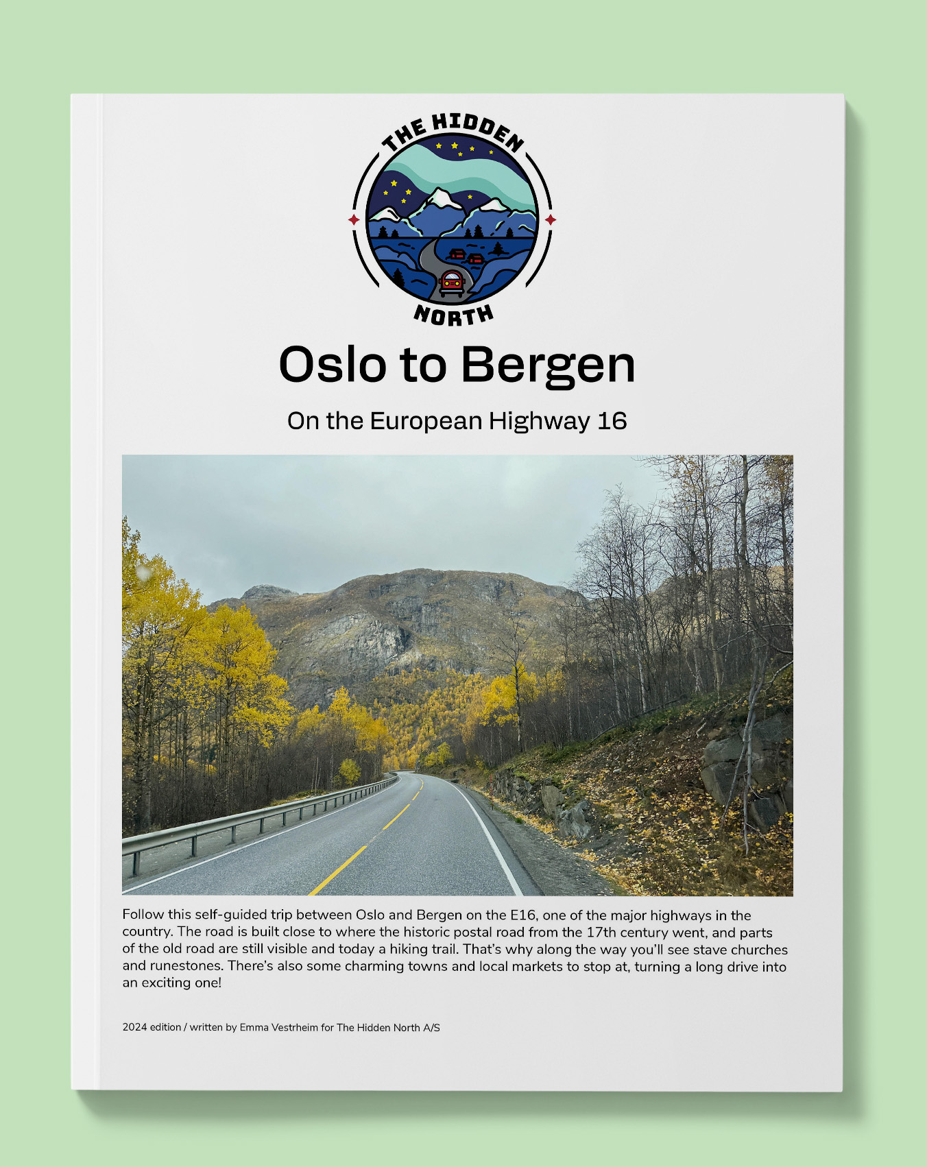
Follow this self-guided trip between Oslo and Bergen on the E16, one of the major highways in the country. The road is built close to where the historic postal road from the 17th century went, and parts of the old road are still visible and today a hiking trail. That’s why along the way you’ll see stave churches and runestones. There’s also some charming towns and local markets to stop at, turning a long drive into an exciting one!
This guide will:
- Answer the question “How do people live here?”
- Provide you with historic images and stories relevant to where you are
- Give you practical tips such as – where’s the nearest toilet? When can I get a hot dog? You know, the important stuff.
- Show you interesting points where you can stop to stretch your legs or get beautiful photos of Norway
This guide won’t:
- Drive for you (Sorry, we aren’t that advanced yet)
- Give you accommodation tips (this guide assumes you know where you are staying already). If you want accommodation tips, visit our (free) online travel guide https://thehiddennorth.com/norway
- List experiences (think of this guide as more of a fun, informative directory. If you want to know what you can do, head to our free online travel guide)
- Detailed overview of hikes. We do list famous hikes, but don’t provide much information each one. This guide is purely for the A to B. Again, head to our free online travel guide for that information.
- Give you a detailed map overview. We have a basic map guide, but if you are looking for something detailed, I recommend buying one online! (click here for my recommendation)
Our guides are packed! Here’s what this one includes:
- Free interactive Google Map that can be loaded into your GPS, making finding that stave church much easier.
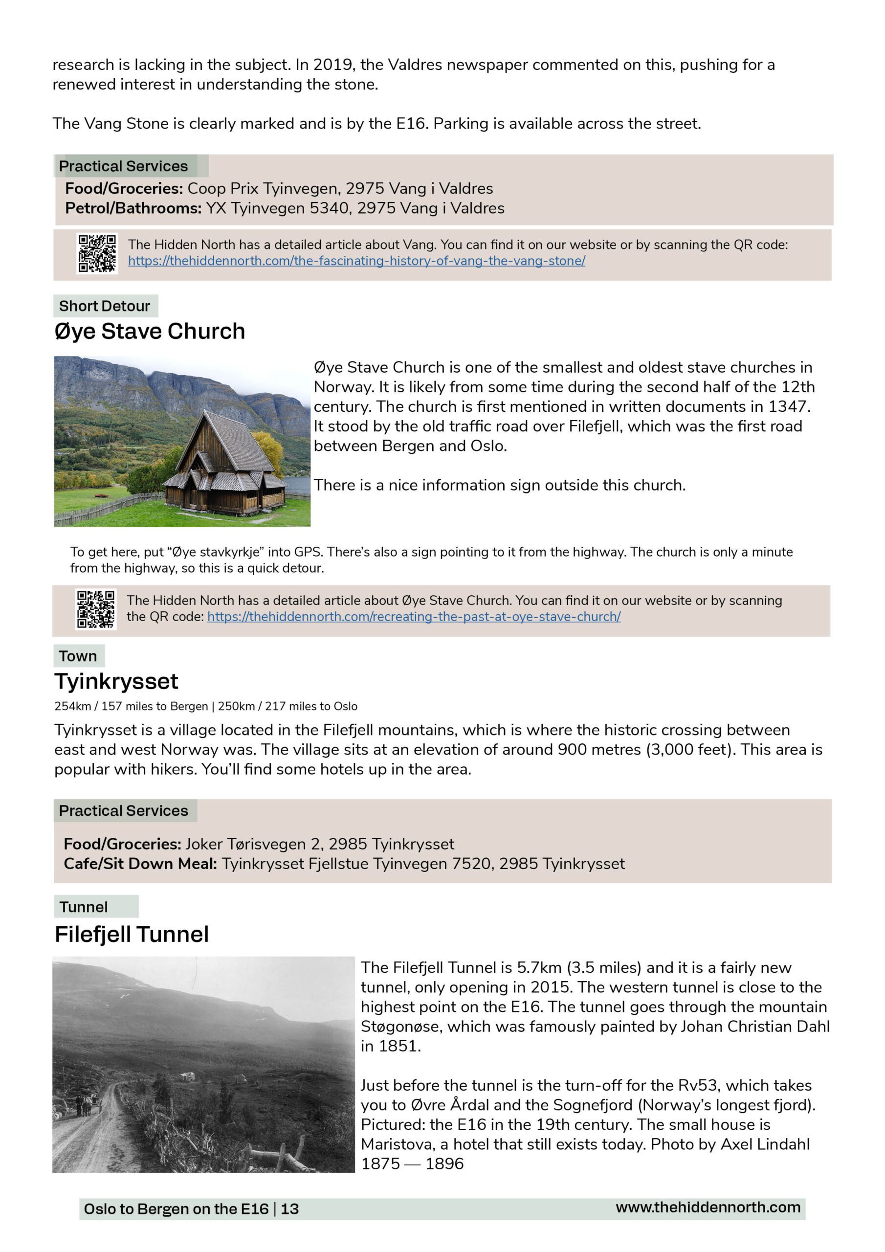
- Detailed overviews of Borgund Stave Church, Stalheim, Aurland, Vestre Slidre Church, and more!
- Practical information (cafes, dining, museums, toilets, petrol, road-side rest areas, detours, alternate routes)
- Historic, modern and practical information for every city, town, village, and farm you pass through including (but not limited to) Hønefoss, Fagernes, Vang, Flåm, Voss, and Vaksdal
- Modern and historic images of all the major points of interests
- Distance between points
This guide was published in January 2024.
Not sure if this drive is relevant for you? Check out our free version online: https://thehiddennorth.com/drive-it-yourself-oslo-to-bergen-on-the-e16/
Free online version includes:
- Basic information about each point of interest
- Images of each point of interest
This guide is 22 pages and 14MB.
Reviews
There are no reviews yet.