The drive from Berlevåg to Båtsfjord is something special. Both ports are incredibly isolated on the Finnmark coast, but are vital fishing communities for Norway. The rugged shoreline has been shaped by bad weather from the Barents Sea, and the geology here is some of the oldest in Norway. The drive itself is short, but well worth it on any road-trip in the north.
Here’s my self-guided drive from Berlevåg to Båtsfjord.
In this article...
Download this Guide
All of our guides can be downloaded via our online store.
We offer downloadable versions of our self-guided drives on our online store.
All of our guides come with Google Map links, making it easier to navigate your road-trip!
Facilities including supermarkets, toilets, petrol, hotels, cafes, restaurants with addresses.
Watch on Youtube
All of our roadtrips are available on YouTube to watch. They include information about the area provided in text and voiceover form, plus they show the drive in full (sped up in some spots!) so you can get an idea what the drive is like.
Kongshavn has remains of settlements dating approximately 10,000 years back, from the early Stone Age to the 190s. The older settlements are higher up, indicating where the shoreline used to be. 11 housegrounds from the late Stone Age are here, while closer to the sea are 4-5 sites of houses from the Iron Age.
The site is not marked with signs, but there is a parking lot.
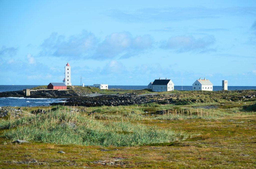
Kjølnes Lighthouse
Lighthouse
Ishavsveien
Road
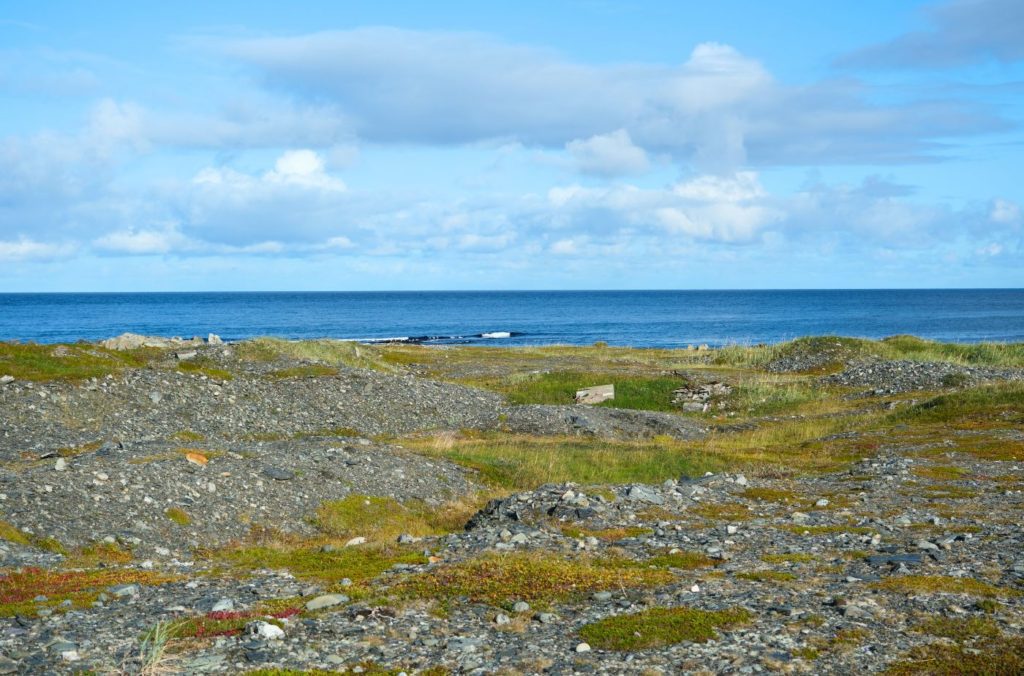
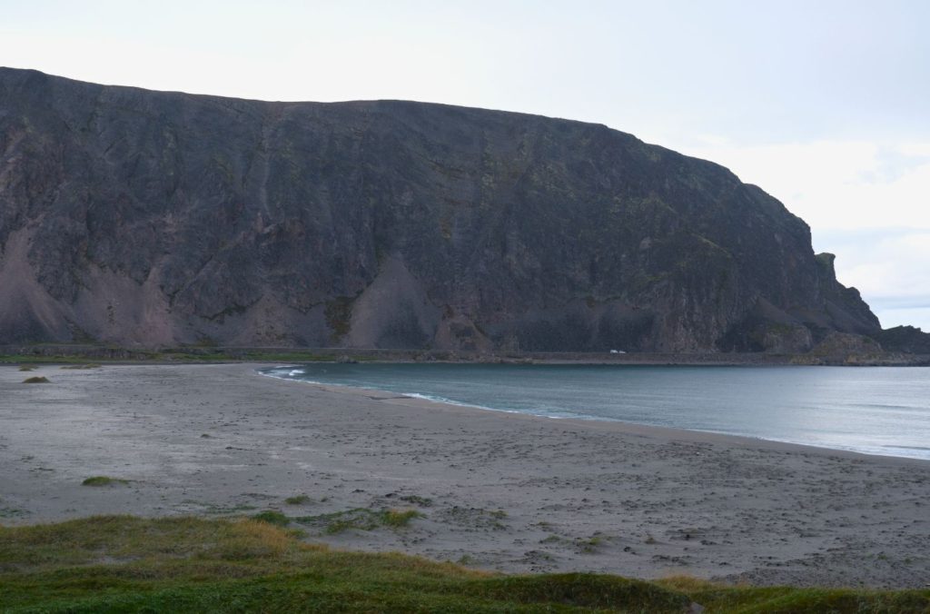
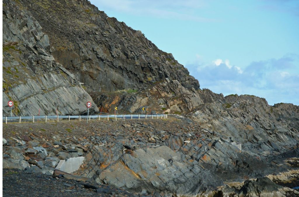
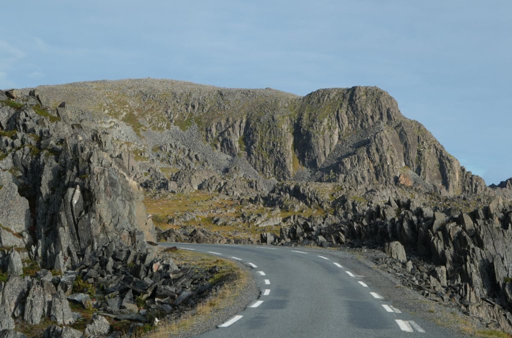
The road is commonly called Ishavsveien and is fascinating for those interested in geology as there’s no soil or vegetation concealig the various types of rock, sediments and rock formations. Prehistoric shorelines here show how the land has risen.
Kongsfjord
Village
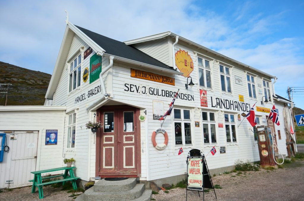
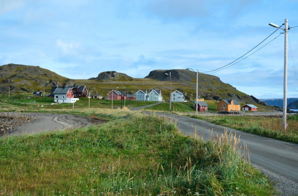
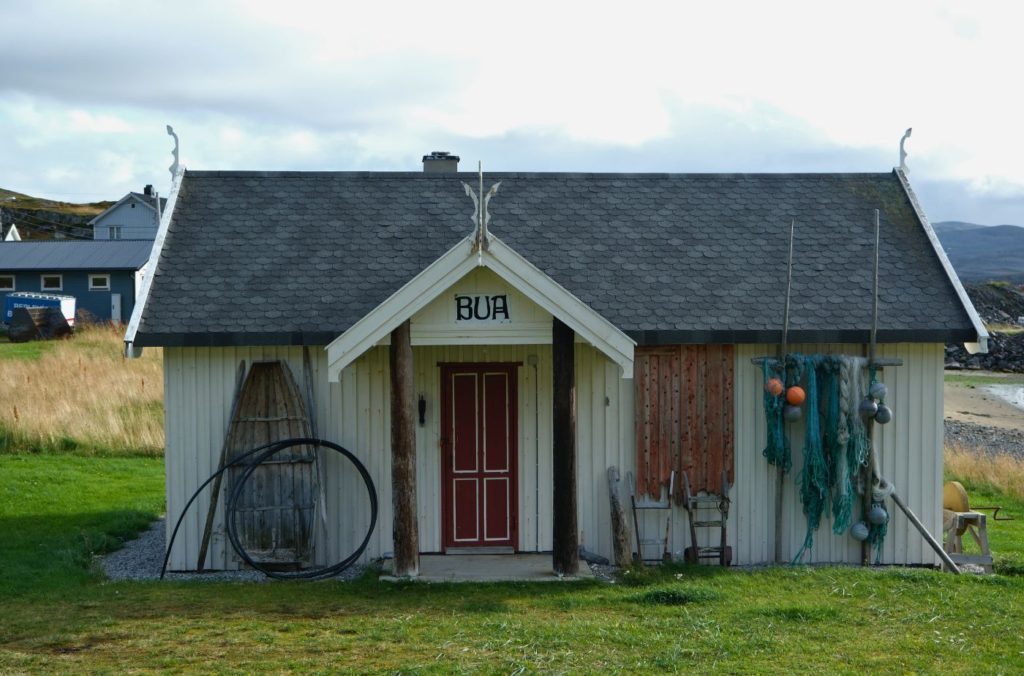
Kongsfjord is a small fishing village with a population of around 32 people. It has been inhabited for hundreds of years and Kongsfjord is one of the few fishing settlements that wasn’t destroyed during World War II. The Kongsfjord River has special protection as a salmon river, and parts of the fjord are protected as a special landscape.
The local shop (pictured top left) is full of charm and is a must-see when driving here.
Kongsfjordfjellet
Mountains
You now cross the Kongsfjordfjellet mountain, which is 326m (1069ft) above sea level.
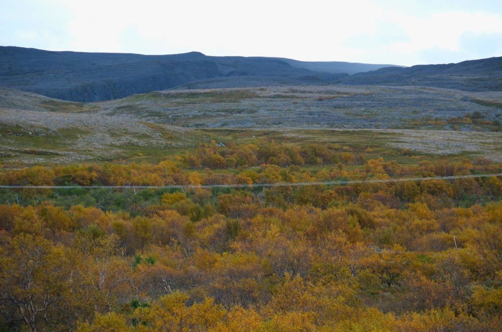
Båtsfjordsfjellet
Mountains
Now you cross the Båtsfjordfjellet mountain at 358m above sea level.
Båtsfjord Municipality
The landscape in Båtsfjord is geologically very old by Scandinavian standards, and to a large extent formed before the last ice ages. Ice sheets from the last ice ages lay frozen over large parts of the Varanger peninsula and thus changed the landscape to a small extent. The large block field areas are believed to be very old, before the last ice age.
However, the ice has left behind a large number (several thousand) of distinctive ring-shaped formations, formations that are otherwise known from only a few places in the world. The area is also characterised by many long and sometimes crossing gullies, which tell a lot about the melting and movement of the ice.
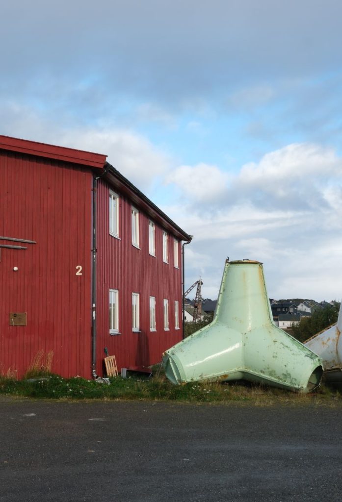
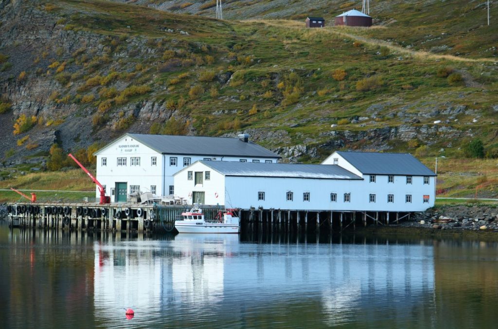
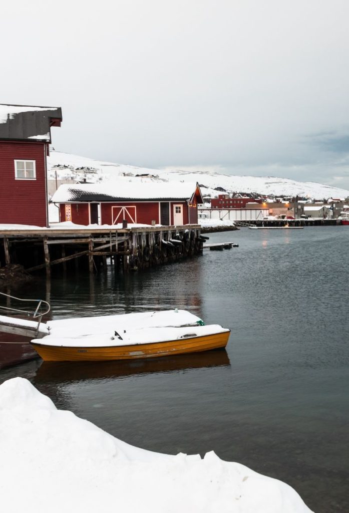
Båtsfjord
Båtsfjord is one of Norway’s largest fishing communities and is also one of the most culturally diverse in the country.