Description
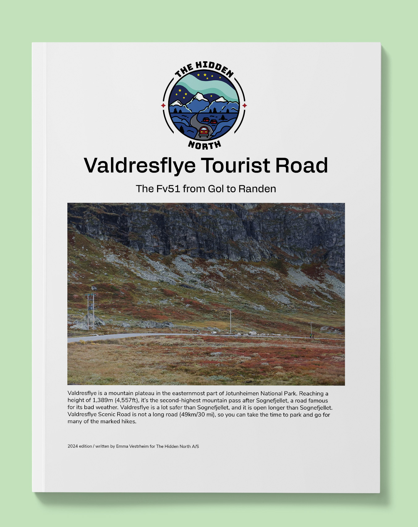
The Valdresflye Tourist Road (Fv51)
Valdresflye is a mountain plateau in the easternmost part of Jotunheimen National Park. Reaching a height of 1,389m (4,557ft), it’s the second-highest mountain pass after Sognefjellet, a road famous for its bad weather. Valdresflye is a lot safer than Sognefjellet, and it is open longer than Sognefjellet. Valdresflye Scenic Road is not a long road (49km/30 mi), so you can take the time to park and go for many of the marked hikes.
Printable version of the Rv41 includes:
- Detailed information about each point of interest
- Images of each point of interest
- Historic overview of streets, buildings, and areas
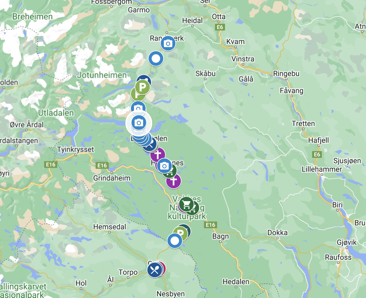
- Directions between points
- Time between points
- Historic photos
- Scenic photo stops
- Museums and shops worth visiting
- Link to a map that you can load into your phone for easier navigation
This guide is 8 pages and comes in a PDF format.
Reviews
There are no reviews yet.