
Description
The Road to Berlevåg & Båtsfjord (Fv890)
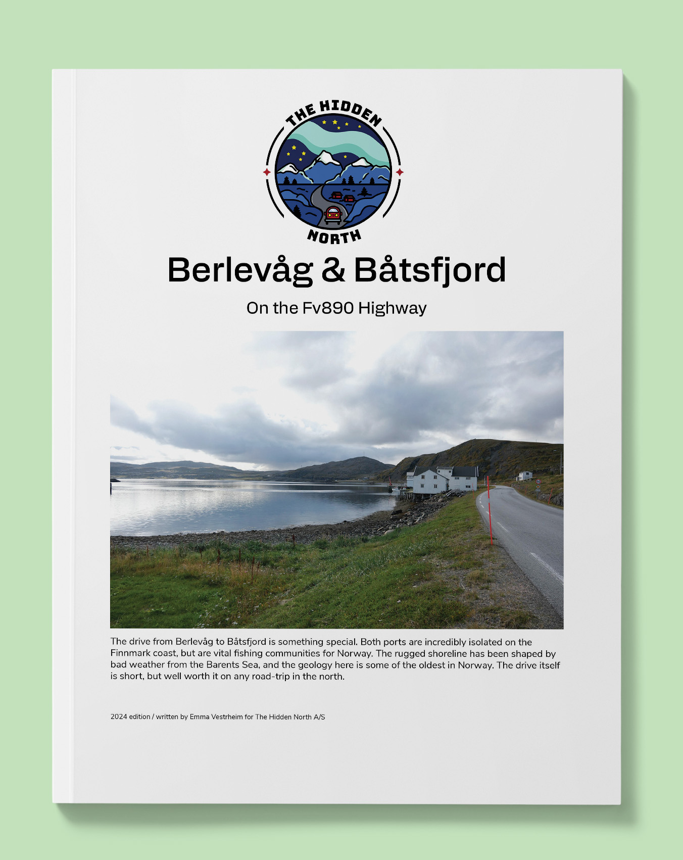
The drive from Berlevåg to Båtsfjord is something special. Both ports are incredibly isolated on the Finnmark coast, but are vital fishing communities for Norway. The rugged shoreline has been shaped by bad weather from the Barents Sea, and the geology here is some of the oldest in Norway. The drive itself is short, but well worth it on any road-trip in the north.
Printable version of the Fv890 includes:
- Detailed information about each point of interest
- Images of each point of interest
- Historic overview of streets, buildings, and areas
- Directions between points
- Time between points
- Historic photos
- Scenic photo stops
- Museums and shops worth visiting
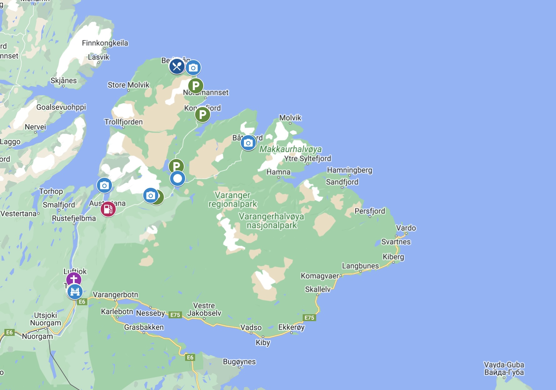
- Link to a map that you can load into your phone for easier navigation
Reviews
There are no reviews yet.