
Description
The Road to North Cape (E69)
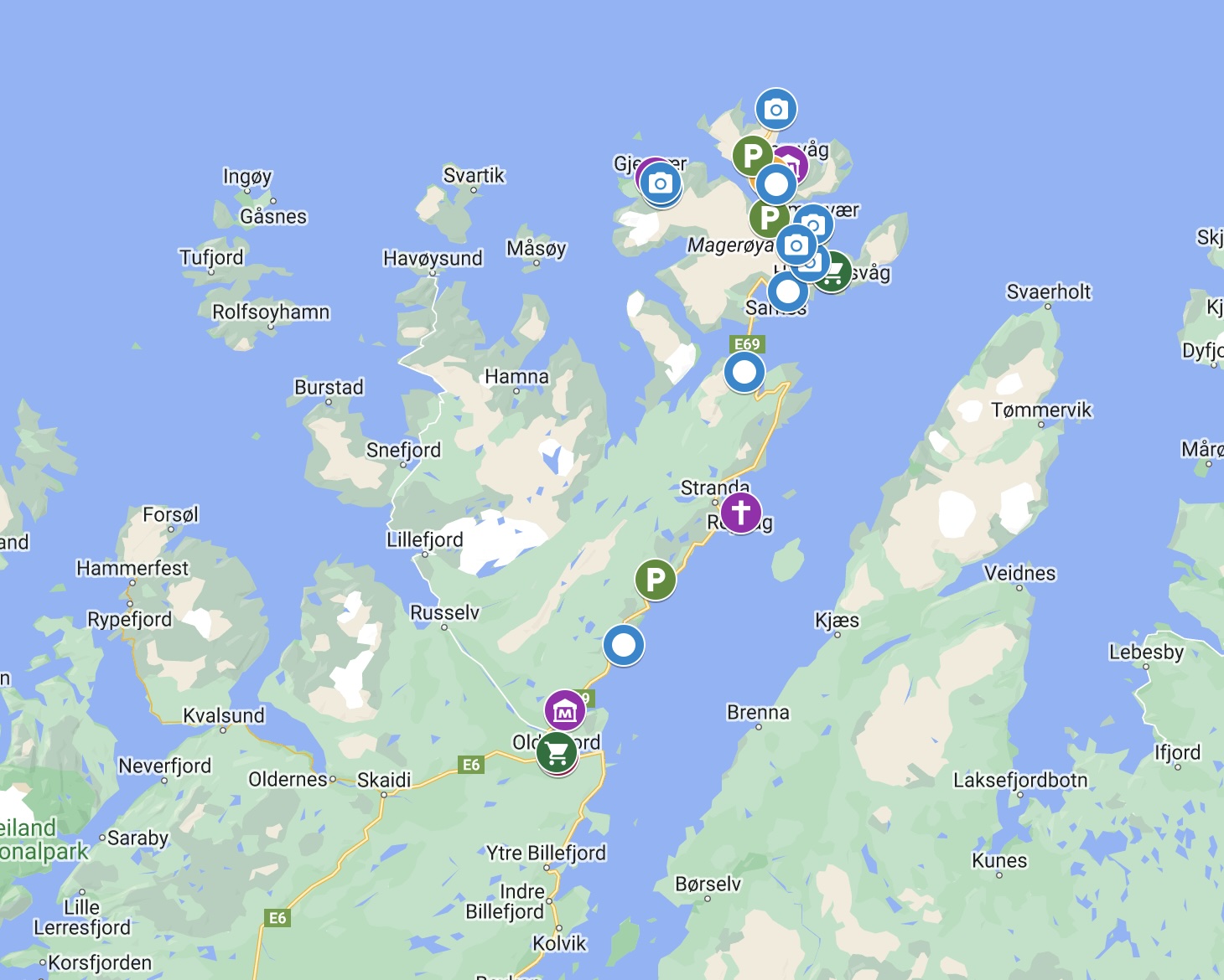
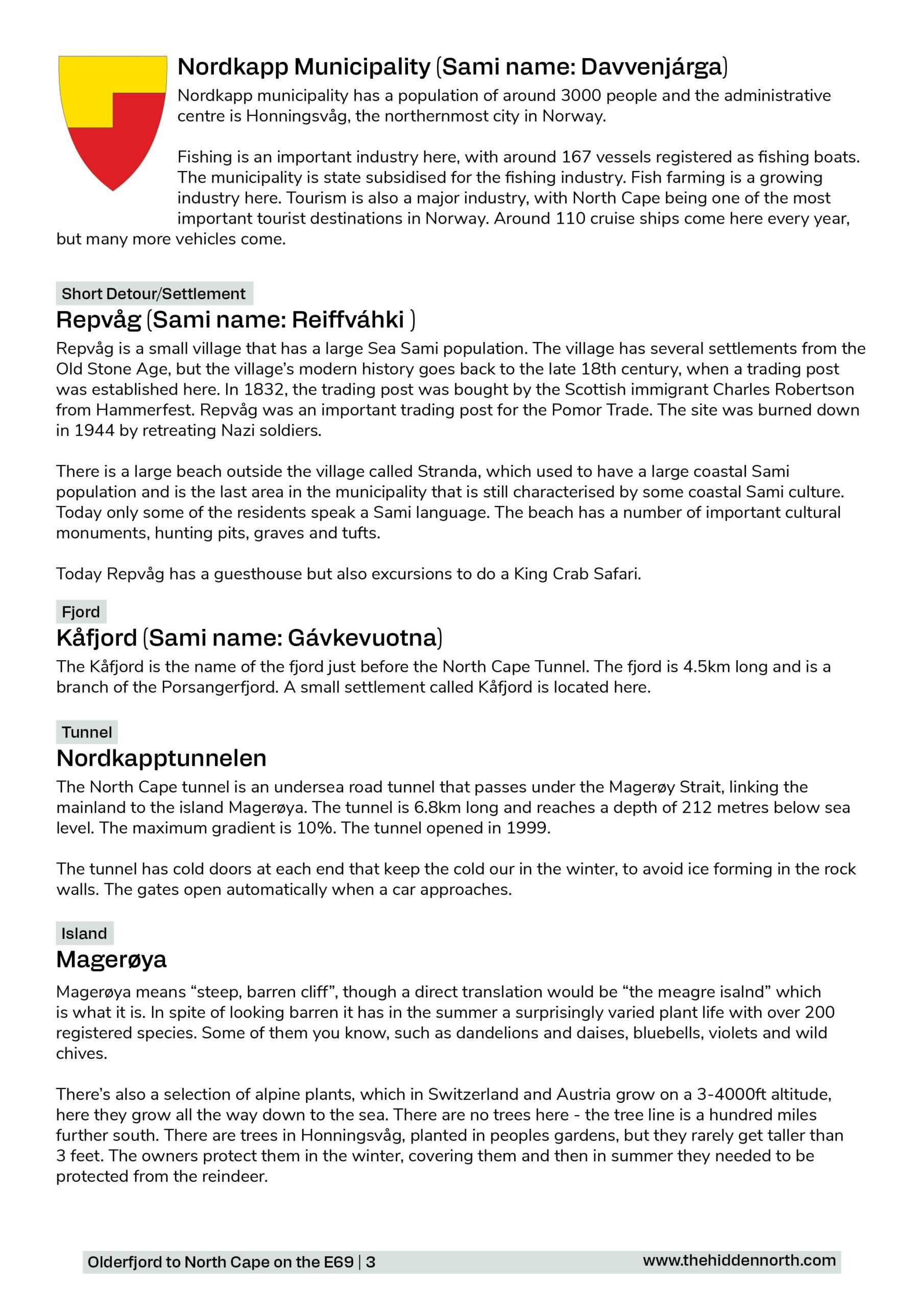
The journey to the end of the world! The E69 begins on the E6 highway (the main highway in Norway) and makes its way north to North Cape, the northernmost point in mainland Europe. Along the way you pass by tiny fishing villages and ancient Sami sites. The road was built after World War II, though there are currently ongoing projects to modernise the road. It can close in winter due to bad weather, so check the conditions before driving. If the road closes, Honningsvåg is cut off from the rest of Norway by road.
Printable version of the road to North Cape includes:
- Detailed information about each point of interest
- Images of each point of interest
- Historic overview of streets, buildings, and areas
- Directions between points
- Time between points
- Historic photos
- Scenic photo stops
- Museums and shops worth visiting
- Link to a map that you can load into your phone for easier navigation
This guide is 6 pages and comes in a PDF format.
Reviews
There are no reviews yet.