
Description
The Road to Hammerfest (Rv94)
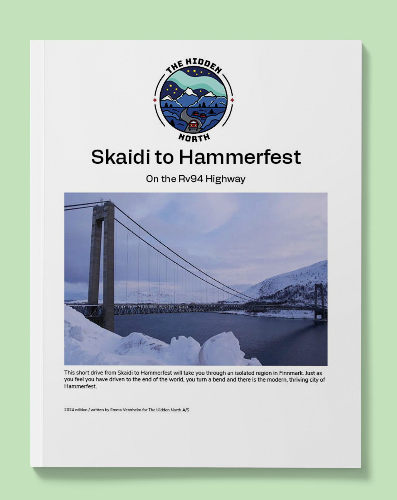
This short drive from Skaidi to Hammerfest will take you through an isolated region in Finnmark. Just as you feel you have driven to the end of the world, you turn a bend and there is the modern, thriving city of Hammerfest.
Printable version of the Rv94 includes:
- Detailed information about each point of interest
- Images of each point of interest
- Historic overview of streets, buildings, and areas
- Directions between points
- Time between points
- Historic photos
- Scenic photo stops
- Museums and shops worth visiting
- Link to a map that you can load into your phone for easier navigation
This guide is 5 pages and comes in a PDF format.
Reviews
There are no reviews yet.