
Description
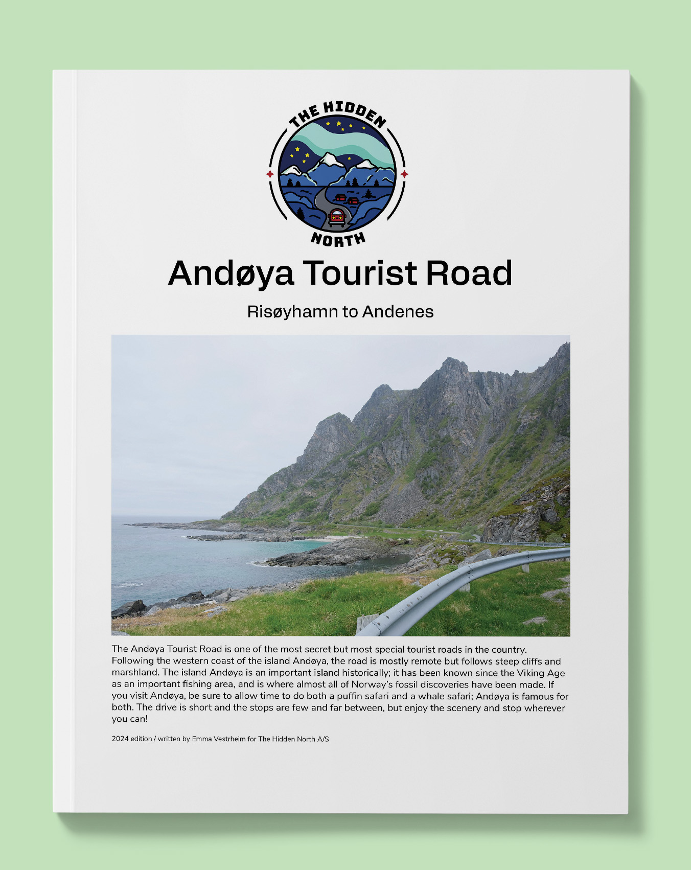
Andøya Tourist Road
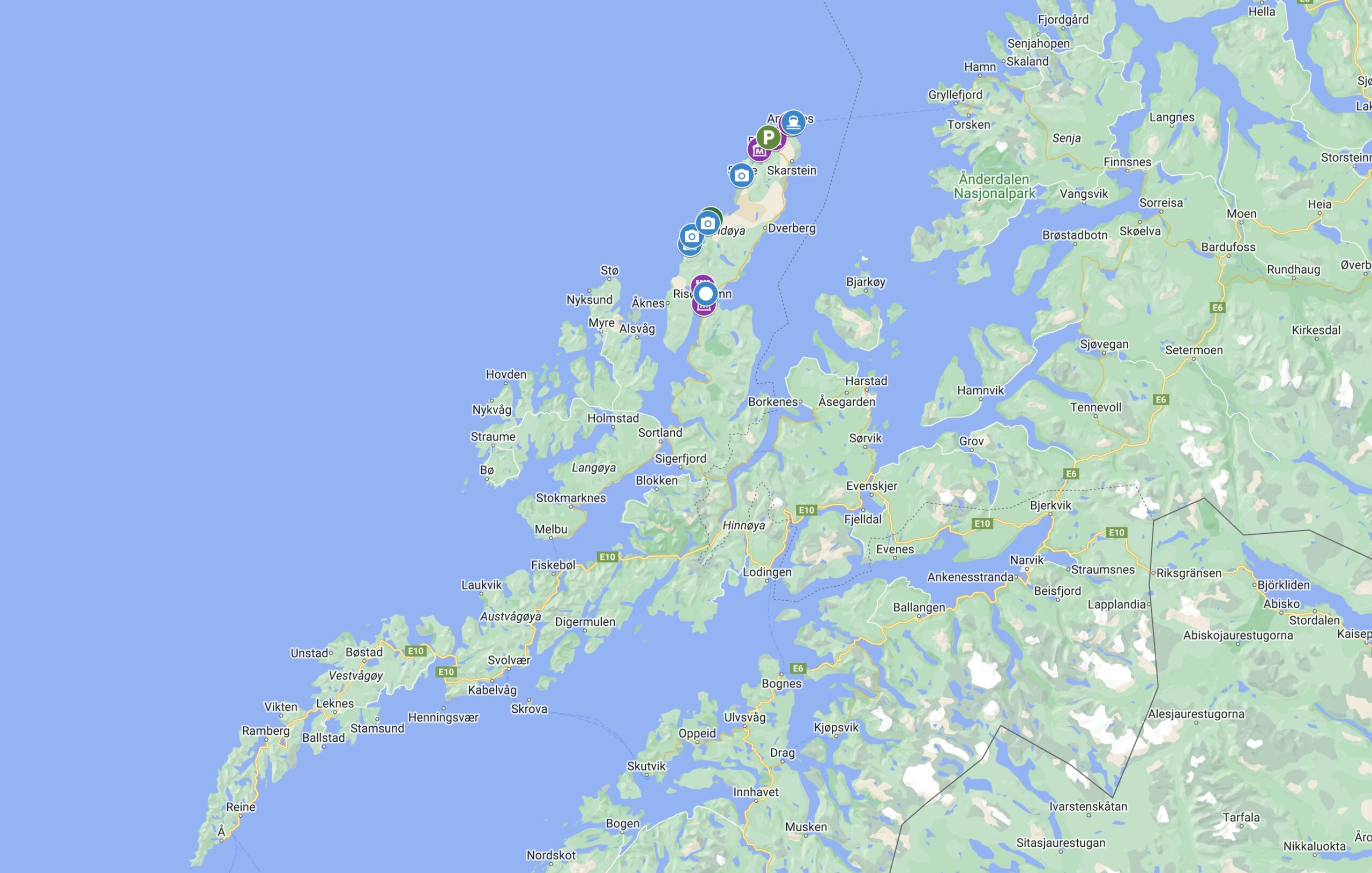
Follow this drive from Risøyhamn to Andenes along the west coast of Andøya, passing by fishing villages and historic sites.
Printable version of the Andøya Tourist Road includes:
- Detailed information about each point of interest
- Images of each point of interest
- Historic overview of streets, buildings, and areas
- Directions between points
- Time between points
- Historic photos
- Scenic photo stops
- Museums and shops worth visiting
- Link to a map that you can load into your phone for easier navigation
This guide is 5 pages and comes in a PDF format.
This guide will:
- Answer the question “How do people live here?”
- Provide you with historic images and stories relevant to where you are
- Give you practical tips such as – where’s the nearest toilet? When can I get a hot dog? You know, the important stuff.
- Show you interesting points where you can stop to stretch your legs or get beautiful photos of Norway
- Give you information about museums (including opening hours), attractions, and major points of interests that you can visit
This guide won’t:
- Drive for you (Sorry, we aren’t that advanced yet)
- Give you accommodation tips (this guide assumes you know where you are staying already). If you want accommodation tips, visit our (free) online travel guide https://thehiddennorth.com/norway
Reviews
There are no reviews yet.