Description
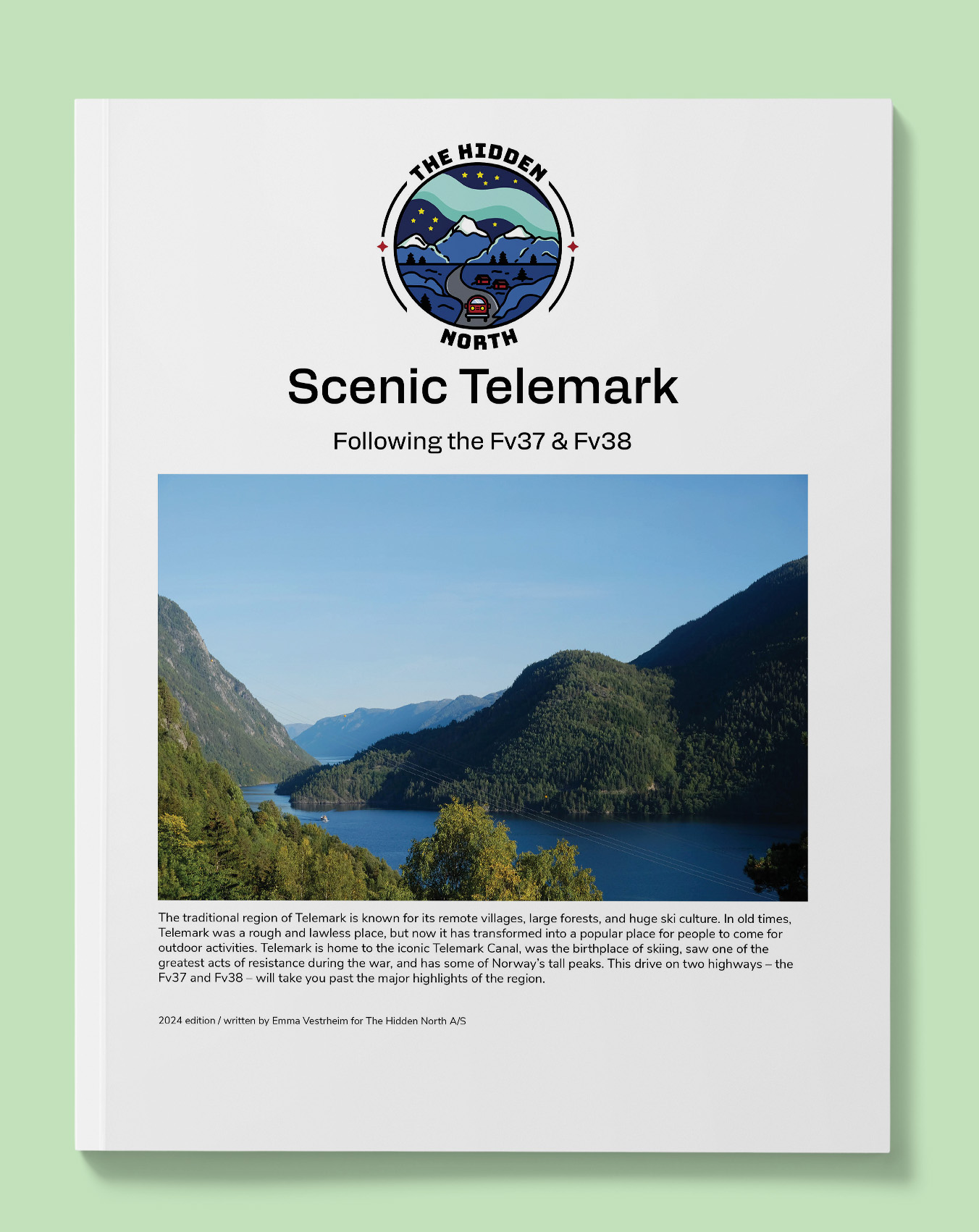
Scenic Telemark Drive on the Fv37 & Fv38
The traditional region of Telemark is known for its remote villages, large forests, and huge ski culture. In old times, Telemark was a rough and lawless place, but now it has transformed into a popular place for people to come for outdoor activities. Telemark is home to the iconic Telemark Canal, was the birthplace of skiing, saw one of the greatest acts of resistance during the war, and has some of Norway’s tall peaks. This drive on two highways – the Fv37 and Fv38 – will take you past the major highlights of the region.
Printable version of the Telemark Drive includes:
- Detailed information about each point of interest
- Images of each point of interest
- Historic overview of streets, buildings, and areas
- Directions between points
- Time between points
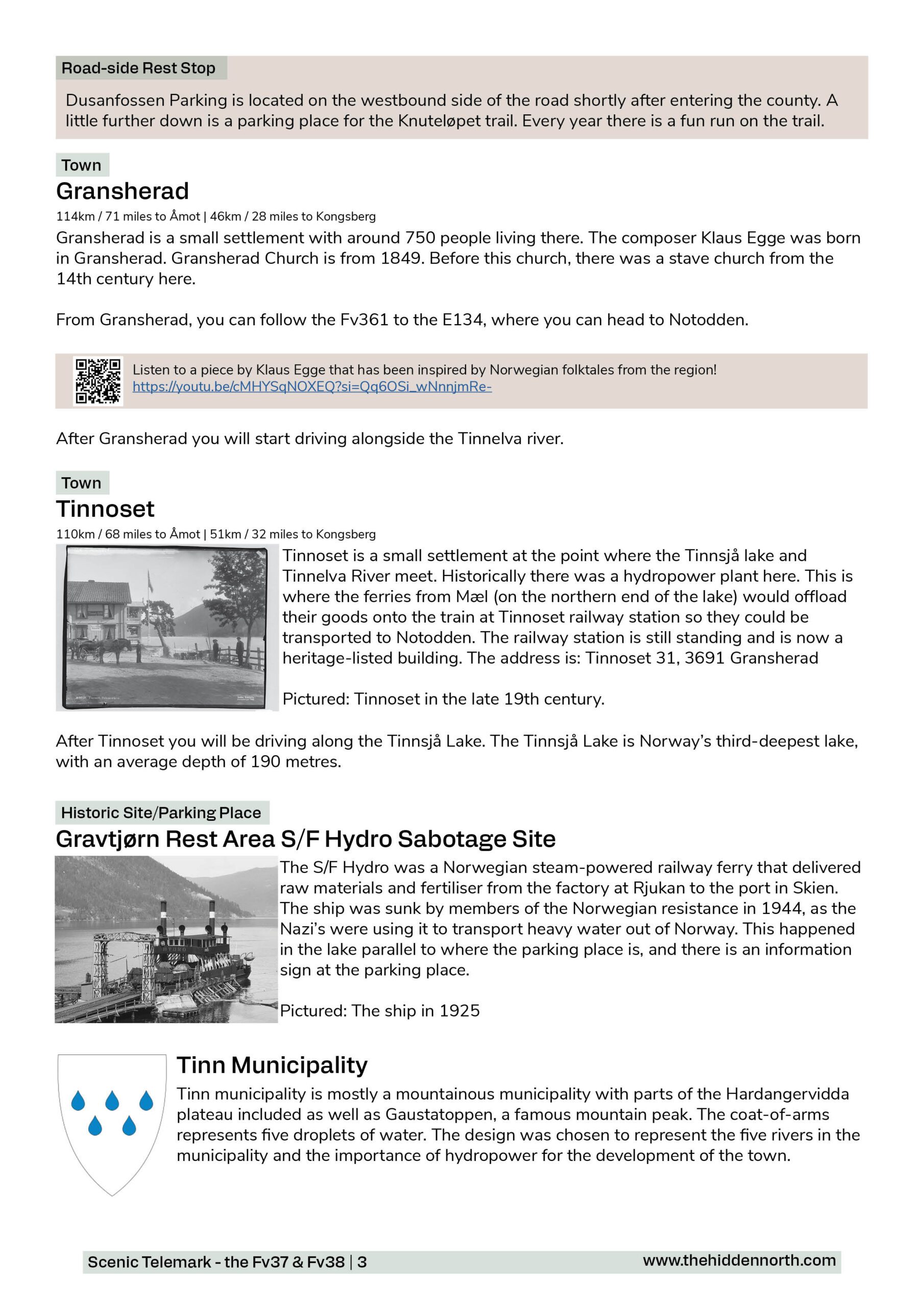
- Historic photos
- Scenic photo stops
- Museums and shops worth visiting
- Link to a map that you can load into your phone for easier navigation
This guide is 7 pages and comes in a PDF format.
Reviews
There are no reviews yet.