

Description
Ørje (on the Swedish border) to Kristiansand (via Oslo) on the E18
The E18 highway follows the western side of the Oslofjord as it stretches from near the Swedish border, through Oslo, and then down to Kristiansand. Many historic cities can be found here as it used to be an important place for shipbuilding and the shipping business. The road itself is a major highway and therefore lackign in some spectacular scenery, but you can find many beautiful scenic detours and places to visit!
Printable version of the E18 includes:
- Detailed information about each point of interest
- Images of each point of interest
- Historic overview of streets, buildings, and areas
- Directions between points
- Time between points
- Historic photos
- Scenic photo stops
- Museums and shops worth visiting
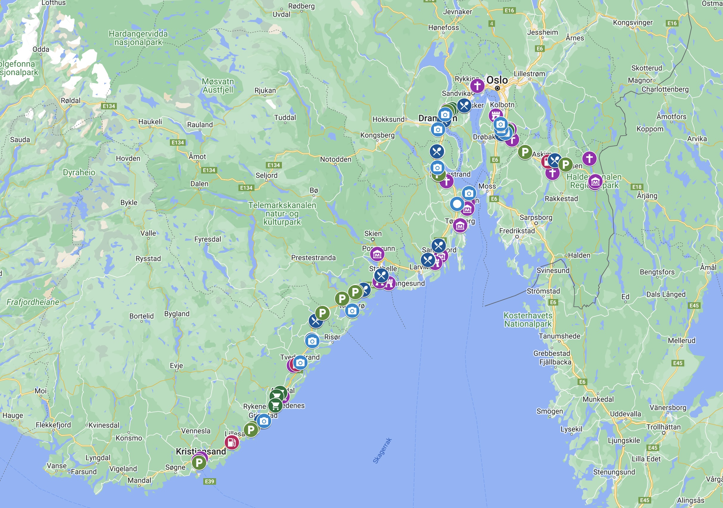
- Link to a map that you can load into your phone for easier navigation
This guide is 10 pages and comes in a PDF format.
Reviews
There are no reviews yet.