
Description
Norway’s Coastal Road (Fv17)
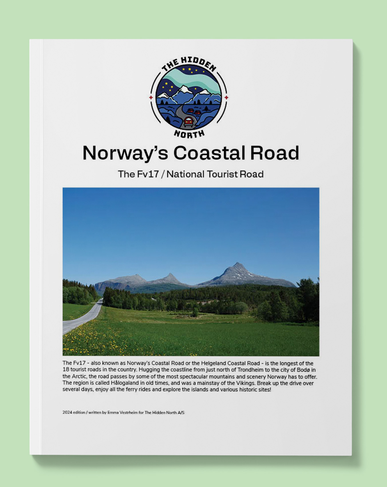
The Fv17 – also known as Norway’s Coastal Road or the Helgeland Coastal Road – is the longest of the 18 tourist roads in the country. Hugging the coastline from just north of Trondheim to the city of Bodø in the Arctic, the road passes by some of the most spectacular mountains and scenery Norway has to offer. The region is called Hålogaland in old times, and was a mainstay of the Vikings. Break up the drive over several days, enjoy all the ferry rides and explore the islands and various historic sites!
Printable version of the Fv17 includes:
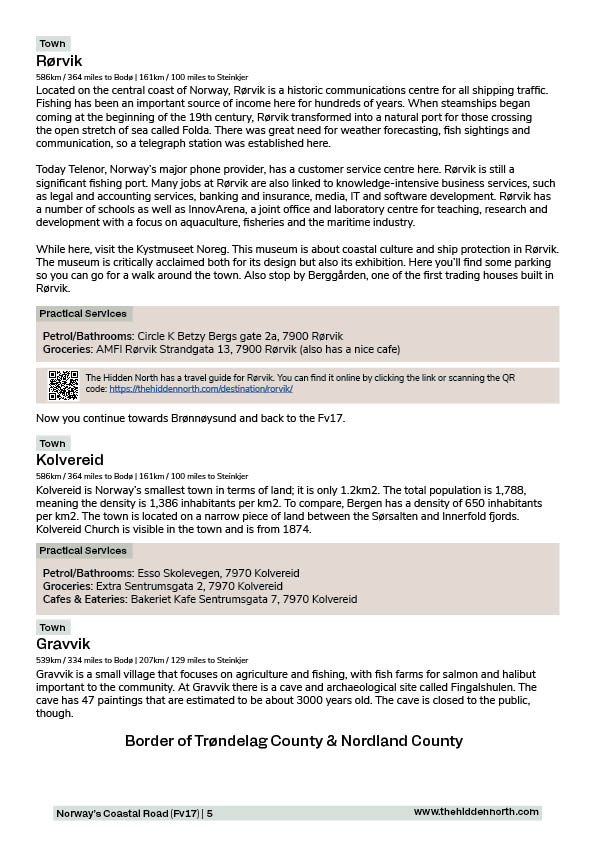
- Detailed information about each point of interest
- Images of each point of interest
- Historic overview of streets, buildings, and areas
- Directions between points
- Time between points
- Historic photos
- Scenic photo stops
- Museums and shops worth visiting
- Link to a map that you can load into your phone for easier navigation
This guide is 22 pages and comes in a PDF format.
Reviews
There are no reviews yet.