self-guided walks

Longyearbyen

Follow this self-guided walk around Longyearyen, the northernmost town in the world and main centre for travel around Svalbard. 

What you get

Historic overview of Longyearbyen (with photos of what the city used to look like)

Link to a Google Map that can be loaded into your phone for easier navigation

Clear directions with English & Norwegian names of places, addresses, and step-by-step guides

Photos of each point of interest

This guide is 11 pages and comes in a PDF format. 

Longyearbyen - the True North

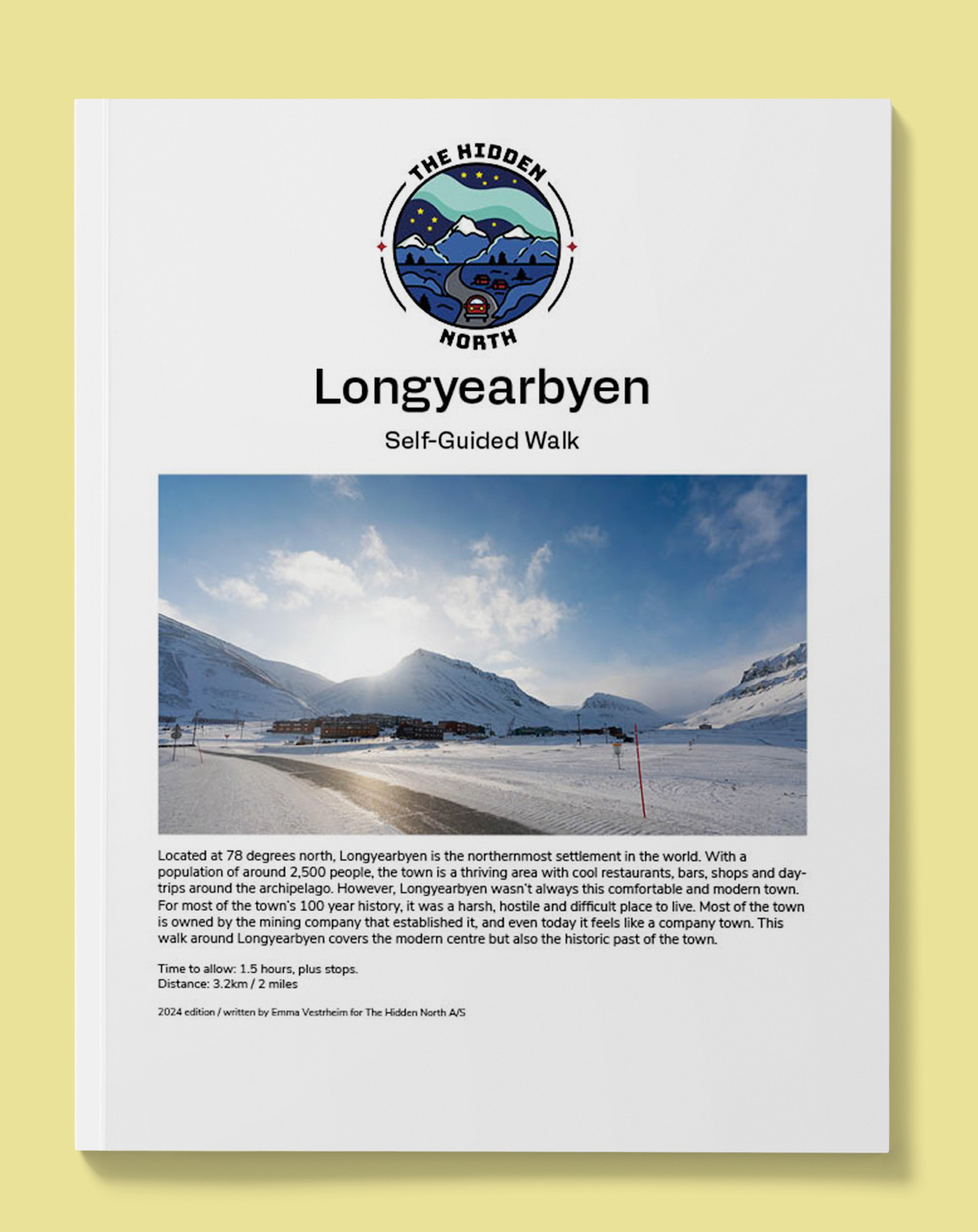
Located at 78 degrees north, Longyearbyen is the northernmost settlement in the world. With a population of around 2,500 people, the town is a thriving area with cool restaurants, bars, shops and day-trips around the archipelago. However, Longyearbyen wasn’t always this comfortable and modern town. For most of the town’s 100 year history, it was a harsh, hostile and difficult place to live. Most of the town is owned by the mining company that established it, and even today it feels like a company town. This walk around Longyearbyen covers the modern centre but also the historic past of the town.

Trip Highlights

Distance

3km (2 miles)

Activity Level

Level 2 – hilly and a lengthy walk, especially in winter!

Start Location

Radisson Blu

End Location

Cafe Huskies

Itinerary

This is a summarised itinerary. More stops are included in the walk. 

Sukkertoppen

The name of the distinctive mountain overlooking Longyearbyen is Sukkertoppen. The mountain is 370 metres (1,213) high and is characterised by the avalanche barriers on the side of the mountain.

Longyearbyen Hospital

The hospital has urgent care, a children’s clinic, a dentist, physiotherapy, x-rays, plastering for fracture injuries.

Iconic Longyearbyen Houses

These houses are from the 1970s and are nicknamed “The Indian Village”. They are all on a road called Hilmar Rekstens Vei, named after the main chairman and shareholder of SNSK from the war up to 1962.

Lompen Senteret

Lompen Senteret was built in 1985, but first it was a cloakroom, café and laundry for the miners. The work clothes for the miners are called lomps, and here the coal-black mining buses were cleaned and changed into clean clothes.

Svalbard Store

The complex to your left is the Svalbard Store. Inside you’ll find ‘Nordpolet’ (the liquor store – a play on the Norwegian name ‘Vinmonopolet’) and a Coop grocery store. There are also some nice souvenirs in here. Coop is the only grocery store on Svalbard.

Mine 1a

High up on the hill you can see the cableway system of the first mines to be constructed on Svalbard. The cableway system carried the coal from the mine to the pier, where it would be loaded onto boats for export.

Svalbard Church

The first church was built on Svalbard in 1921, and Paster Frederick Thorleif Østenstad served as the first clergyman. The mining company built the church and owned it; they also paid for the pastor’s travel and accommodation.

The Governor’s Residence

The building was completed in 1950. The buildings are in a square around a courtyard with a large gate. The two story is referred to as a ‘palace’ by the locals in Svalbard.

Example of what the guide looks like. 

Resources for Longyearbyen

Reviews