Drive it Yourself: Norway's East Side (Rv2 & Rv3)
The eastern side of Norway alongside the Swedish border is known for its large forests, remote settlements, and moose population. Not many tourists make it this far east, but for those that do, they are rewarded with charming historic and industrial settlements as well as beautiful stretches of highway through dense pine and oak forests.
In this article...
Download this guide to have it as a PDF ready to go for your road-trip!
All downloadable guides come with an interactive Google Map for easier navigation.
Online Guide
- Information about points of interest
- Images of each point of interest
- Historic overview of the neighbourhood
- Directions between points
- Historic photos
- Information about facilities along the way
Downloadable Guide
- Information about points of interest
- Images of each point of interest
- Historic overview of the region & towns
- Directions between points
- Historic photos
- Facilities including supermarkets, toilets, petrol, hotels, cafes, restaurants with addresses.
- Interactive Google Map for easier navigation
The drive: the Rv2 & Rv3
Lina
Town
This drive begins on the Norwegian/Swedish border in a small village called Lina.
Skotterud
Town
Skotterud is a small town with a population of around 1,300. The town is known for the forestry industry and has some sawmills and other timber businesses. Skotterud is located on the southernmost point of the Finnskogen forest. The town is also a stop on the Kongsvinger railway line, which runs from Lillestrøm just outside of Oslo to Charlottenberg on the Swedish border, where it’s possible to change trains and head to Stockholm.
Matrand
Town
The Rv2 passes alongside Matrand, but not through the town. If you want to drive into the town, there is a nice historic church just off the highway called Eidskog Church. Eidskog Church is a small church from 1665 and has a baptismal font from the Middle Ages. It’s believed there was an earlier church on the site that was likely a stave church.
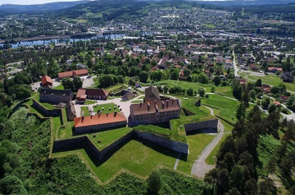
Kongsvinger
Kongsvinger is both a municipality and town that you will soon pass through. The town is on the Glomma, which is Norway’s longest river (the guide will cover the river soon). Kongsvinger is an interesting historic town worth spending some time in.
It’s believed that the town has been an important place since the Viking Age, and several finds from the Stone Age have been found in the area. In the 17th century, the Kongsvinger fortress was constructed by King Christian V of Denmark-Norway to protect the city from attacks from Sweden. The city was redesigned into a grid layout by Johan Caspar de Cicignon, who also designed the street layout for Trondheim.
When Norway entered into a union with Sweden in 1814, Kongsvinger became an important rest stop for travellers between the two countries. The fortress was more or less shut down in 1823. Railway development reached Kongsvinger in 1862 with the construction of the Kongsvinger Line between Lillestrøm and the Swedish border.
Today the town is characterised by being heavily forested, so agriculture and forestry-related businesses are the main industries.
Glomma River
River
At 621km (386 mi), the Glomma is Norway’s longest river. It has a drainage basin that covers 13% of Norway’s surface area, all in the southern part of the country.
At its full length, the river runs from Aursund near Røros and empties into the Oslofjord in Fredrikstad.
The combination of raw materials, water power and transport has over the centuries encouraged industry along the Glomma. Some of the country’s largest manufacturing and processing businesses are found at its mouth.
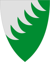
Grue Municipality
Grue municipality is a largely forested municipality. The word ‘grue’ comes from the Old Norse word referring to a grave or pit, and there have been many burial mounds discovered here as well as finds from the Viking Age. Flint fields that are over 4,000 years old have been discovered here.
Kirkenær
Town
Kirkenær is the administrative centre of Grue municipality. It used to be an important community with timber mills and nailworks but has now lost its importance.
In 1822 Kirkenær was the scene of the Grue Church fire, a major fire disaster in which at least 113 people died, and which led to a legal order that all doors in public buildings should swing outwards. The current Grue Church is from 1828 and is located on the highway (northbound/Ulsberg side). Kirkenær station is a lovely building, but train traffic no longer goes through here. There’s also a beautiful old building called Kirkenær farm, which is the farm that gave the town its name.
Arneberg Church & Hof Church
Historic Site
On the northbound side of the road is Arneberg Church. The church is from 1878 and was built for the villagers on the east side of the river so they no longer had to travel across to Hof Church on the other side. Shortly before it was decided to build this church, three people drowned trying to get across the river to the church.
If you want to visit Hof Church, it is located just over the river from the highway. The exit is marked with a yellow sign saying Hof (3km) and a picture of a church. Hof Church is a brick church from 1860, but was built to replace a stave church that was demolished for being too small in 1861. The baptismal font is from the 13th century and the altarpiece comes from the stave church that stands on the site.
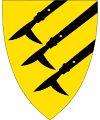
Åsnes Municipality
Findings from the Stone Age here show that the first settlements came along the river around 1,500 years ago. In the Old Norse sagas, Snorre Sturlason writes about a chieftain who cleared the forest to establish a settlement. Christianity reached the area in the 12th century.
The name of this traditional region is Solør, which is a well-known agricultural area and is one of Norway’s largest potato districts. The area is characterised by large forests where there are large moraine deposits and gravel deposits.
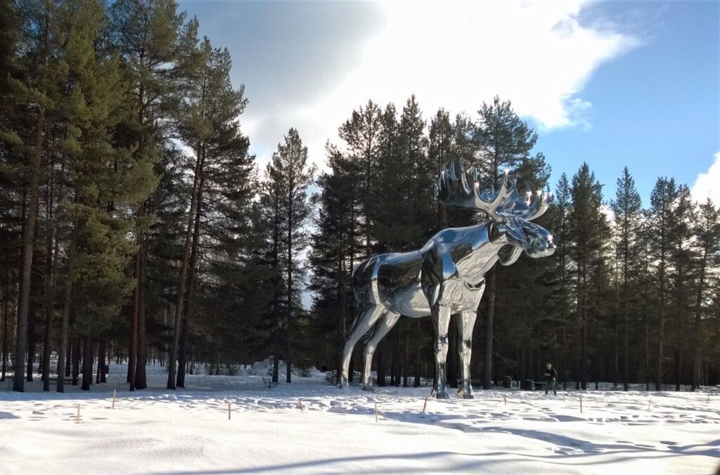
Flisa
Town
Flisa is the administrative centre of the Åsnes municipality with the Glomma river flowing here. Flisa Bridge is the world’s longest wooden bridge designed for full traffic loads. The bridge opened in2 003 and is 196 metres long.
Here’s something interesting to see in Flisa – the world’s largest toothpick. The Norwegian company Jordan (the produces toothpicks) has a factory here. If you want to see it, the toothpick is at the end of the bridge on the east side of the Flisa train station. Put “Toothpick Flisa” into GPS – it’s a few minutes off the highway.
Another interesting thing about Flisa – in summer they are plagued with mosquitos to the extent that the mosquitos are known as “Flisa Mygg” or “Flisa mosquitos”.
Toothpicks and mosquitos – Flisa has it all!
Våler Municipality
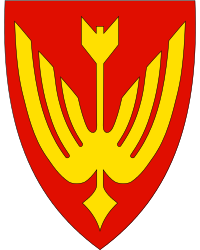
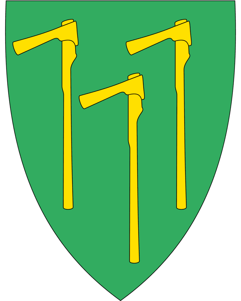
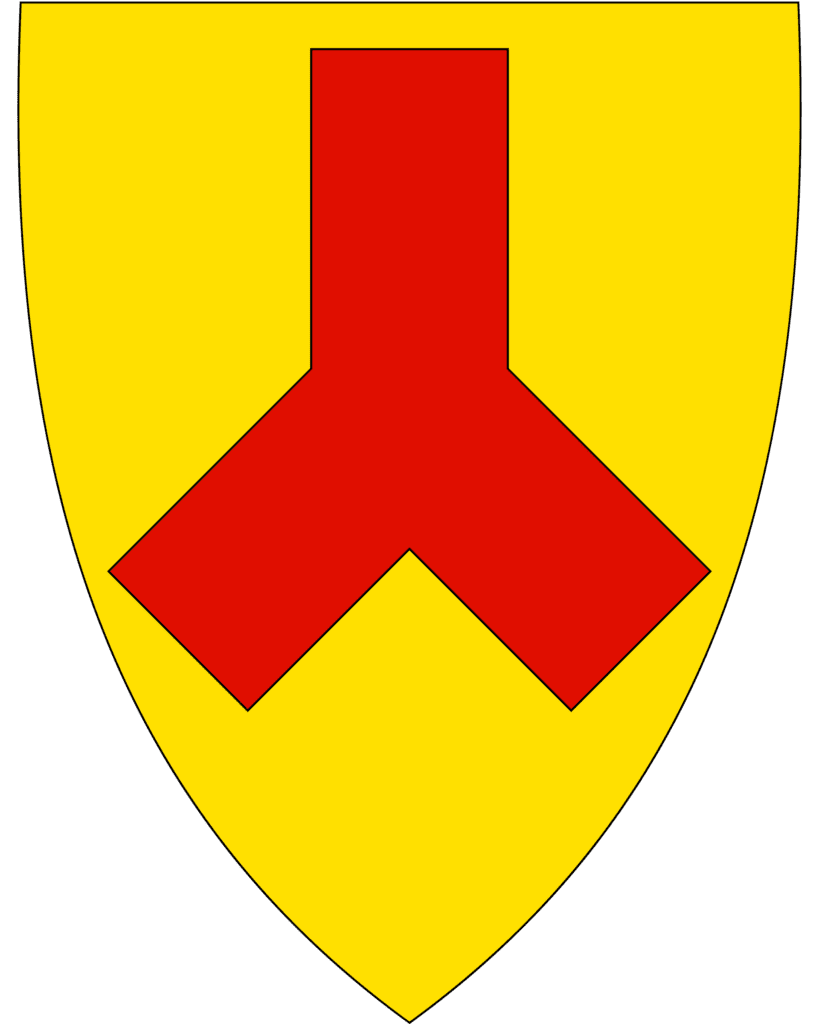
Våler municipality is a largely forested municipality, with nearly 90% of the total area covered by forest. though there is a lot of agriculture here. It’s believed the first peoples settled here around 1800BC and they lived by hunting and fishing. The name Våler comes from the word “Vål”, which means piles of branches and tree stumps from cleared land. A legend tells that when St. Olav travelled through the area to Christianise people and came to Våler, he encountered some resistance but his power (and threats, probably) encouraged people to convert to Christianity. Disagreement about where to build the new church led to arguments, to Olav shot his arrow into the sky and where it landed the church would be built. The arrow fell into a bog down by the river, so the areawas called Våler. The coat-of-arms represent St. Olav’s arrow.
Many Finns settled in Våler in the 16th century. The Finnish immigration was due to the fact that at the time there was war and famine in Finland, and the Swedish king Gustav Vasa welcome the Finns to cultivate the huge unused forest areas on the border. The Finns brought a special culture and way of life, including their special form of agriculture called “svedjebruk”. This method involved setting fire to the forest and cultivating the burnt area which, due to the ash, was very fertile. They grew rye, cabbage and turnips. The Finns also brought language with them. This is why the forest here is called Finnskogen – Finn Forest.
Shortly after entering the municipality you’ll pass the turn-off for the town of Valer (the sign reads “Valer sentrum”, which is the administrative centre. The highway doesn’t go through the town.
Elverum Municipality
Elverum is the next municipality. Elverum is known as the ‘forest capital’ of Eastern Norway and has several timber industry companies, including the head office of the Glomma Forest Owners Association and a regional office of the Norwegian forestry association. The military also has an important presence here that has existed since the 17th century because of the proximity to the Swedish border. A large defence system was built in the late 17th century to protect Norway if war broke out with Sweden. Today there is a military camp here called Terningmoen, which has the Guard School (recruit school for the King’s Guard) and the Weapons School.

Elverum
Elverum town has a population of 15,000 and is the administrative centre for the municipality as well as a major hub in eastern Norway. The town is located on both sides of the Glomma River, with the eastern side being where the town grew up in the 17th century. The western side is more industrial with the military base, but also where the Glomsdal Museum is if you want to learn about the history of the area.
The fortress Christiansfjeld was built in the late 17th century after Norwegian troops managed to stop a Swedish invasion in the area around Elverum, proving this was an important point. The fortress closed in 1742 after the major battled ended. Elverum was also an important market town after the town of Hamar was destroyed by Swedish troops and lost its city status.
Åmot Municipality
Åmot municipality is a small agricultural municipality. The name ‘Åmot’ refers to the meeting of rivers, and the municipality has the name because two major rivers meet here.
Rena
Town
Rena is the administrative centre of Åmot municipality. Around 2,100 people live here and the main industry here is agriculture and forestry. The town was built up in the 19th century as communications improved along the river. During World War II, the town was heavily bombed by the Luftwaffe because it was believed that King Haakon and the government were hiding here.
Stor Elvdal Municipality
Stor-Elvdal municipality is a forested municipality with some mountains towards the west side of the municipality, where the Hedmarksvidda plateau is. In the north is the Rondane national park region. The municipality is characterised by the Glomma river, which flows through it. Bjørnstjerne Bjørnson characterised Stor-Elvdal as Norway’s “Rhine Valley”.
Atna
Town
Atna is a small settlement just off the highway. If you are looking for a food/coffee break, Glopheim Café is a protected building and the only one of its type protected in Norway. Unfortunately, at time of writing the café is listed as closed and the microbrewery it helped revive went bankrupt in 2022.
Rendalen Municipality
Rendalen municipality is a heavily forested area with some mountains towards the western end. The municipality has a declining population; in the 1960s over 3,000 people lived here. Today, the number is around 1,700. The main industries here are forestry and agriculture.
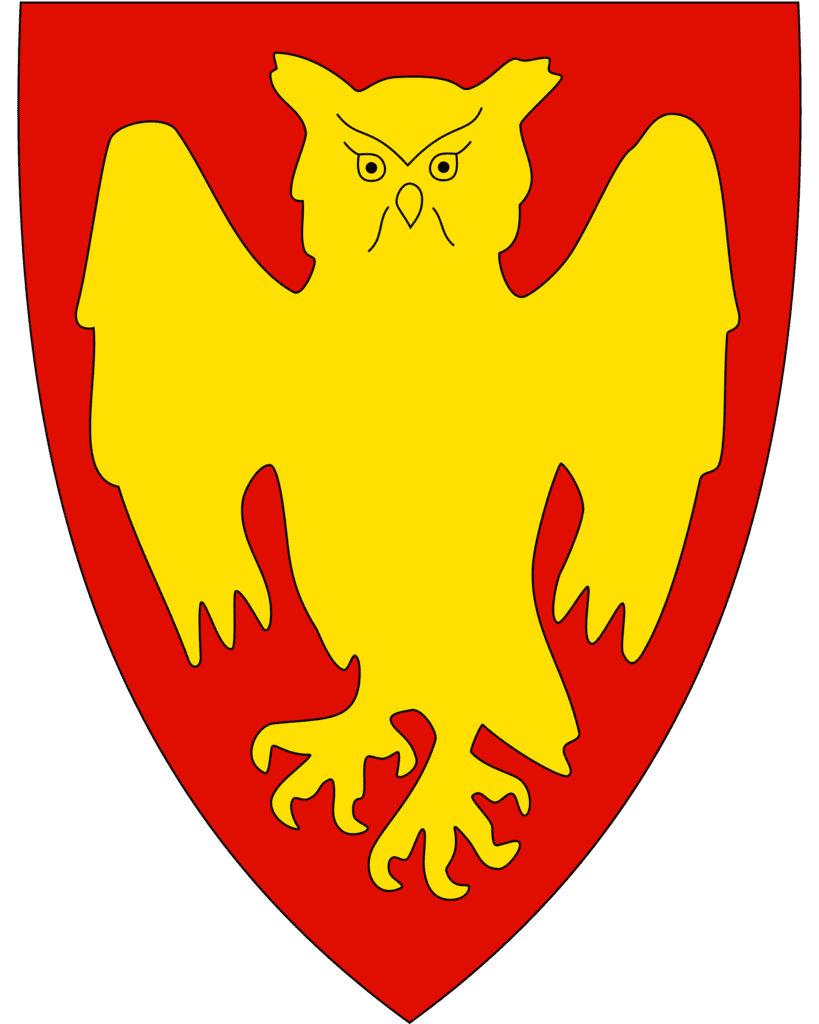
Alvdal Municipality
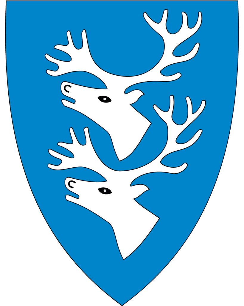
The coat-of-arms of Alvdal represents skis, indicating the importance of skiing in the area but also the discovery of some of Norway’s oldest skis – dating to the 6th century – in the area. Alvdal is a mountainous municipality with some wild reindeer in the mountains. There has been human activity here since the Old Stone Age (before 4000BC).
Alver
Town
Alvdal is a small town (pop. 2,418) with a long tradition of mining, as is common in this part of Norway. There has been mining in Alvdal since 1656, when the first finds of copper ore were made nearby. Mining didn’t take off until copper was found in Folldal in 1745. The mines in Folldal got into disputes with the mining operations in Røros, including access to timber. Due to the little access to timber in Folldal, a smelting hut was built in Alvdal instead. Alvdal has plenty of access to timber. It was less resource intensive to transfer ore to Alvdal than it was to transport wood to Folldal.
New mines were built around the area in the 18th century. From 1905, a cable car was used to transport ore to Alvdal. Mining operations declined and have mostly ended now. Today the largest employer is the dairy company, and many people work in agriculture and the timber industry.
Tynset Municipality
Tynset municipality is a historic mining municipality. Tynset was first mentioned in 1211, when the archbishop of Nidaros in Trondheim had a stave church built here.
Tynset
Town
Tynset is located a few minutes drive off the highway, but is a good town to detour into. Tynset is a small town located in the north of Østerdalen, or the Eastern Valley. It is first mentioned in 1211, when the archbishop of Nidaros consecrated a stave church. There is no stave church today; there are parts from an old stave church at Kvikne (more on that below).
The town is known for its vast areas of forest and mountains, which are ideal for outdoor activities. Tynset is also one of the few places where most of its mountain farms (seter) are in use. You can visit them when hiking, and even rent some for the night.
Kvikne
Town
Kvikne is home to the Kvikne copperworks, founded in 1630, which was one of Norway’s first copperworks. This led to the population in the mountain village rising and laying a foundation for further development. The copperworks was run by the Danish King, and was the largest copper plant in Norway. Eventually Folldal and Røros became more important, and Kvikne was clsoed down in 1812, though operations continued in a much smaller capacity until 1912. Only ruins remain today, but you can visit them.
Kvikne Church (“Kviknes Kirke”) is from 1654 and seats 203. It has decorated equipment and an interior with a carved altarpiece and pulpit. The crucifix is in the Romanesque style and dates to around 1200. In the attic, stave church planks in the Urnes style (a famous early pattern design on stave churches) have been found, probably from an older church on the site. Bjørnstjerne Bjørnson was baptised in the church.
Close to the church is the Bjørgan vicarage, a museum and former vicarage in Kvikne. It is considered an artists home as Bjørnstjerne Bjørnson (1832-1910) was born here and lived here until he was five. The house is built in 1780 and was a vicarage until 1860. The building was supposed to be demolished, but it was saved in an attempt to make it a museum for Bjørnson. Several items from his time are on display in the museum.
Rennebu Municipality
Rennebu municipality is a mountainous municipality with both the Trollheimen and Forollhogna national parks partly located here. The name Rennebu comes from an old village that was on the road between Oslo and Trondheim.
Ulsberg
Town
This drive ends at Ulsberg, which is where the Rv3 and E6 meet.
If you liked this drive, or if you have any travel tips, please leave a comment in the section below!