Drive it Yourself: Kautokeino to Havøysund via the Alta Canyon & Havøysund Tourist Road
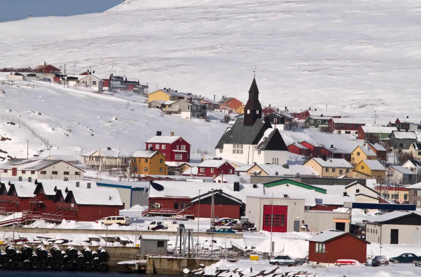
This drive takes you from the Finnmark Plateau down to a remote island by the sea.

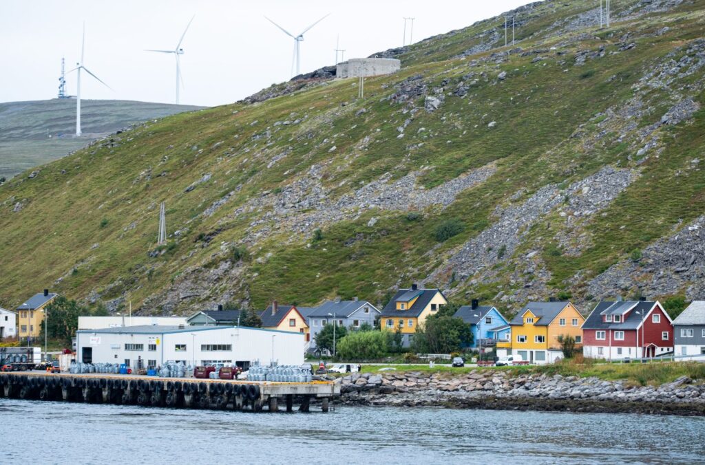

This drive takes you from the Finnmark Plateau down to a remote island by the sea.