Drive it Yourself: Kautokeino to Havøysund via the Alta Canyon & Havøysund Tourist Road

In this article...

Downloadable Version of This Guide

We offer downloadable versions of our self-guided drives on our online store. 

Online Guide

Downloadable Guide

Watch on Youtube

All of our roadtrips are available on YouTube to watch. They include information about the area provided in text and voiceover form, plus they show the drive in full (sped up in some spots!) so you can get an idea what the drive is like. 

The drive: Kilpisjärvi to Kautokeino

Kautokeino

This drive begins in Kautokeino, one of the largest Sami communities in the world. You can learn more about Kautokeino via the travel guide below. 

Karasjok

Village

The first major intersection you’ll come to is what you take to get to Karasjok. Karasjok is another major Sami community and is also home to the Sami Parliament. It takes 1 hour and 10 minutes to get to Karasjok from here. 

Pikefossen

Waterfall

Pikefossen is a waterfall in the Kautokeino River. The name comes from a legend of a maid who was looking after a herd of reindeer. During a storm, the herd began to cross the river on the bad ice above the waterfall. The maid tried to stop them, but the ice broke and the whole herd drowned. When the reindeer owner heard about this, he got so angry he put the girl in a barrel and threw it in the waterfall. She somehow survived and the barrel floated down to Alta where she was found.

The waterfall is 8m (26ft) high and has a nice picnic area next to it. It’s a little tricky to park there in winter due to the snow (and you can’t really see the waterfall), but in summer it is a lovely spot to stop, have a bite to eat and admire the views.

Máze

Village

Masi (or Máze in Northern Sami) is a small village located along the Kautokeino River. The village is made up predominantly of Sami people – around 98% of the population are Sami.

The village is very old. It’s mentioned as far back as the 12th century when the area was used by the Sami who were hunting and trapping. The area was called “Finnmork” and there are many archaeological cultural monuments around Masi. There are traces of settlement from the Sami Iron Age (0AD – 1500AD). The nature around the village is protected and has an important ecosystem.

Masi Church has been here since the 17th century, though the church had to be rebuilt after World War II because the previous church was destroyed by retreating Nazi soldiers. The original church was built by Thomas von Westen to serve and convert the local Sami people.

Masi was the centre of the Alta Controversy of the late 1970s and early 1980s. The Norwegian government considered building a dam on the local river for the proposed Alta Hydroelectric Power Station, which would’ve flooded the village.

The village is home to one little shop where you can buy groceries and supplies.

Suolovuopmi Fjellstue

Accommodation

Suolovuopmi Fjellstue is a place to stay up on the Finnmark Plateau. The lodgings have been here since 1843, when they were established by the state because the priests, sheriffs, doctors, and clerks needed accommodation in their errands across the plateau. The mountain lodges were also used by the Sami travelling across the plateau. Today it’s an excellent place to stay to observe the northern lights as well as go fishing or hiking on the plateau.

Click here to visit their website (in Norwegian only). 

Alta Municipality

Alta is the most populated municipality in Finnmark county, and its population has increased by 11.3% over the last decade. The coat-of-arms represent a white arrow point on a blue background, and it is derived from the findings of quartzite arrow points dating back to the late Stone Age found in the area. The quartzite was mined in the area and tools were made from it all over Northern Norway.

Alta is most famous for its rock carvings, which are on the UNESCO World Heritage list. The carvings date from 4,200 BC to 500BC and were likely made by the Komsa culture, an early people in Northern Norway. These are Northern Europe’s largest number of petroglyphs and rock paintings made by a hunter-gatherer population.

Alta is first mentioned in written sources around 1500, when it was inhabited by a couple hundred Sami people. The area was a common tax country for Denmark-Norway, Sweden, and Russia. Towards the end of the 16th century there were conflicts between Sweden and Denmark over the right to tax salmon fishing in the river. In 1613, it was decided that the area of Alta belonged to Denmark-Norway, and by this time Norwegians were settling along the Altafjord.

Around 1700, the Kven population began to settle in the area. The Kven people came from Finland and were escaping war and famine. The Kvens brought with them grain cultivation and improved the river fishing methods. In 1826, copper mines were established, and miners came from Finland, Sweden and southern Norway to take part. Several of the miners later travelled onto the United States, but many stayed and combined farming with mining.

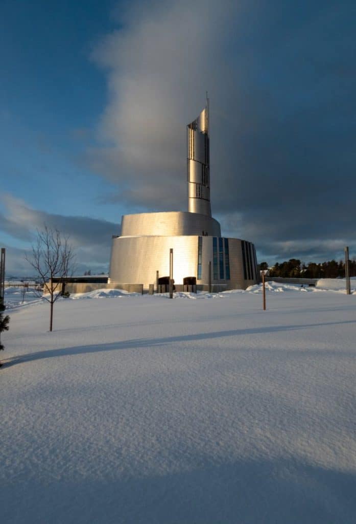
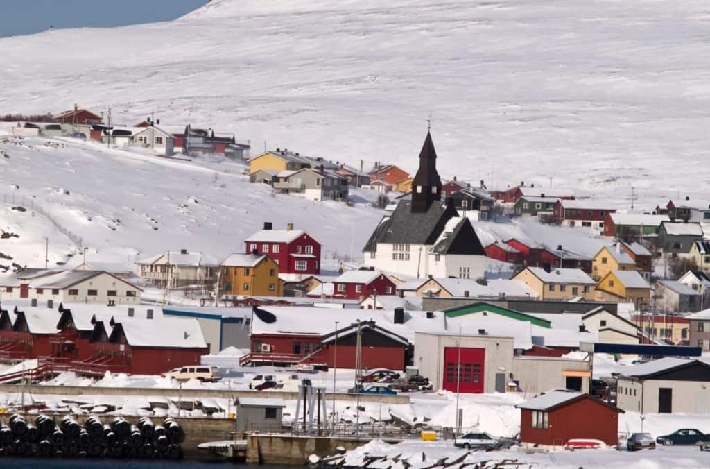
During World War II, the German battleship Tirpitz was kept hidden in the Altafjord for 18 months. It was so badly damaged that it had to leave the fjord. It was towed to Tromsø, where it was eventually sunk by Allied forces. The town of Alta was destroyed by the Germans in 1944 and the only building that was not burned was Alta church.

The main industries in Alta include trading, education, and public service. The town of Alta is known for its slate industry. Alta is also the starting point for the Finnmarksløpet, the longest dog sled race in Europe.

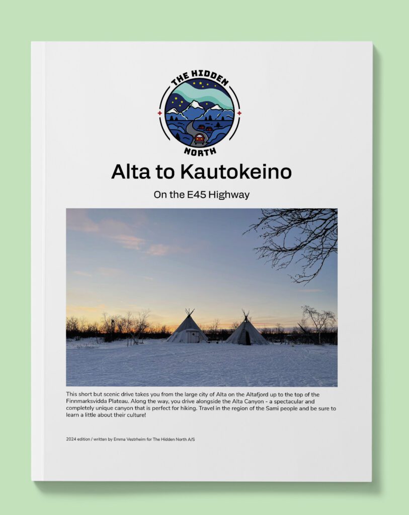
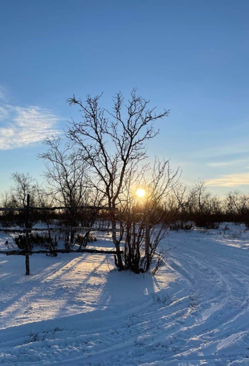
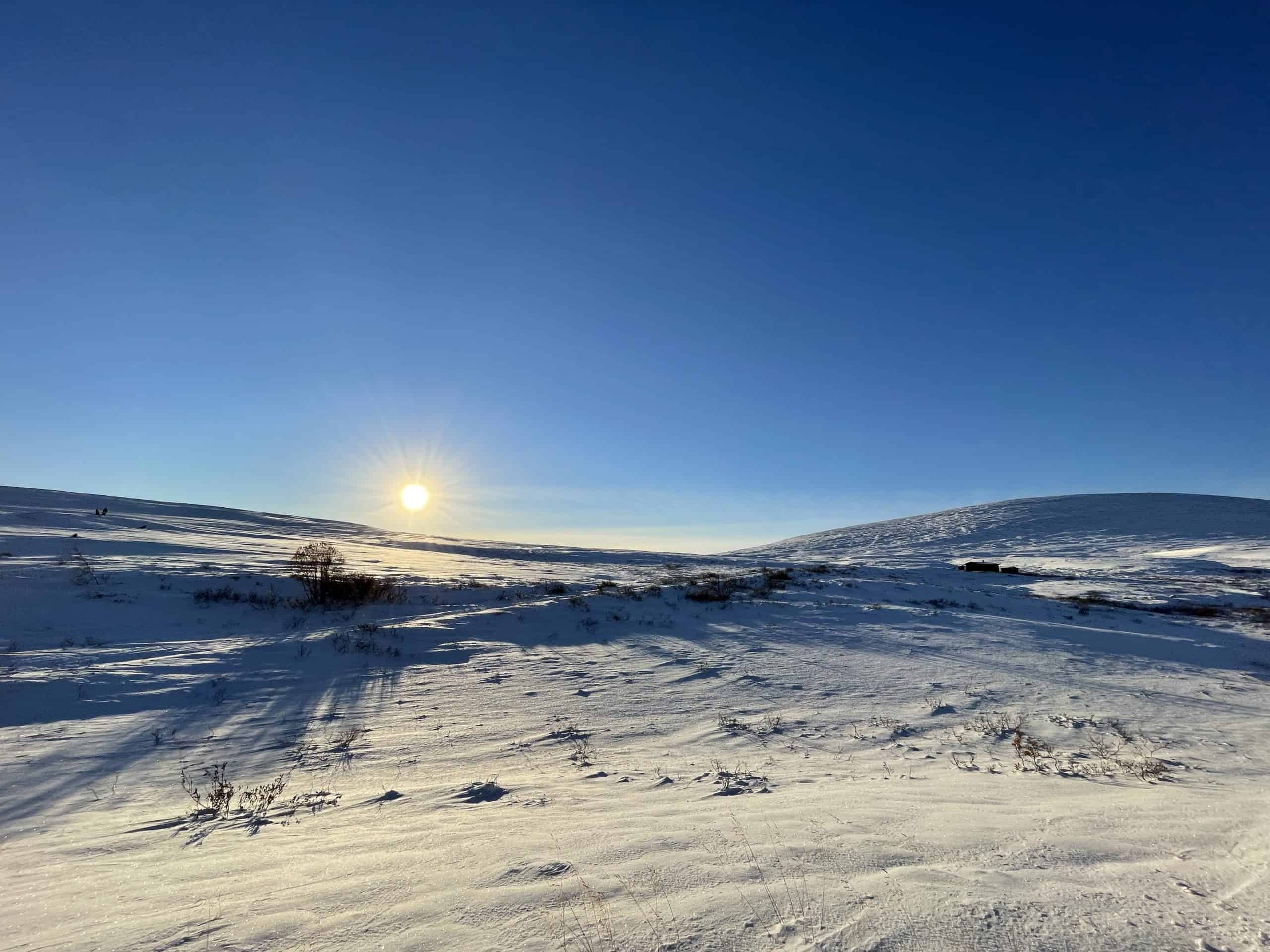
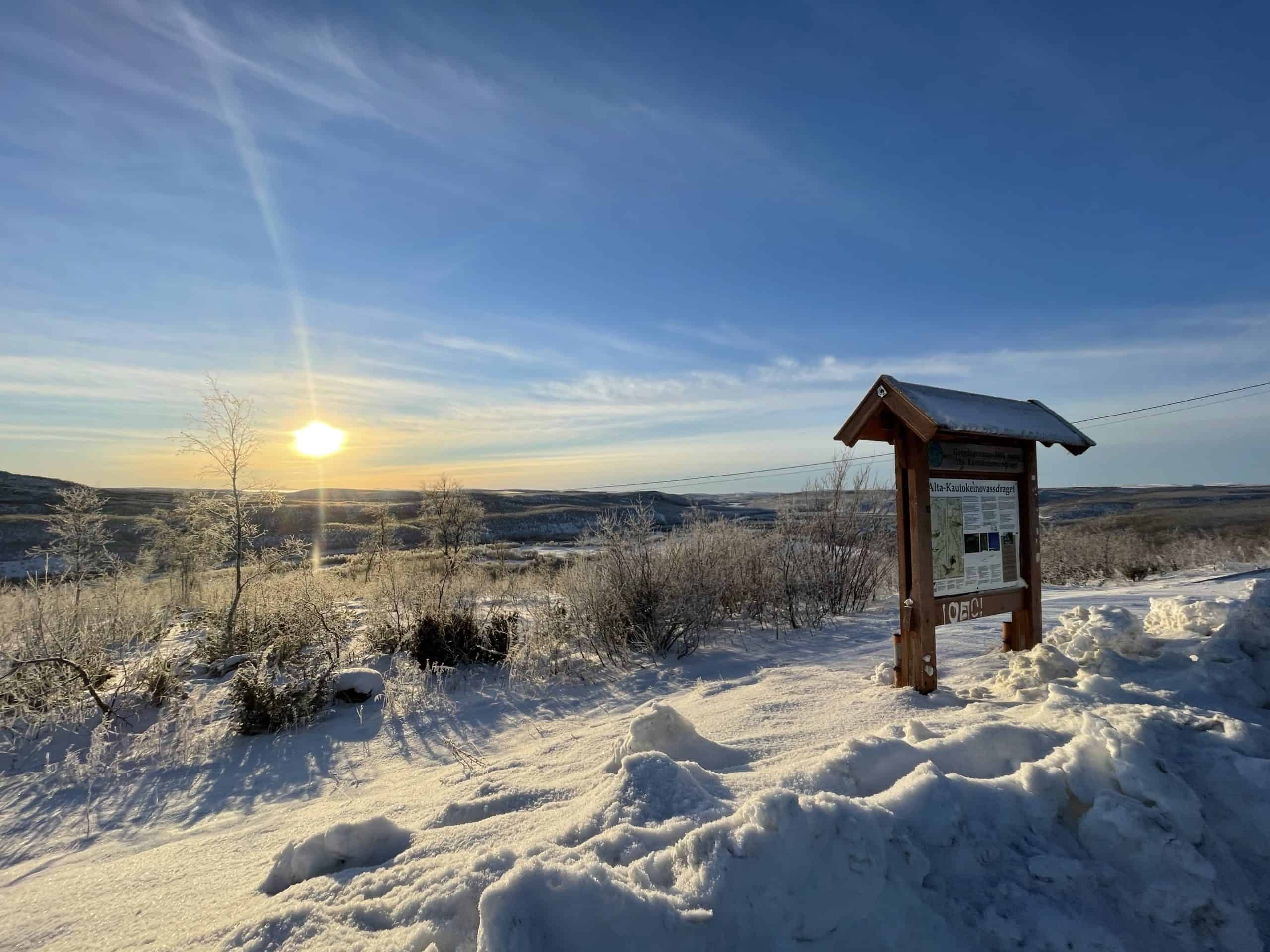
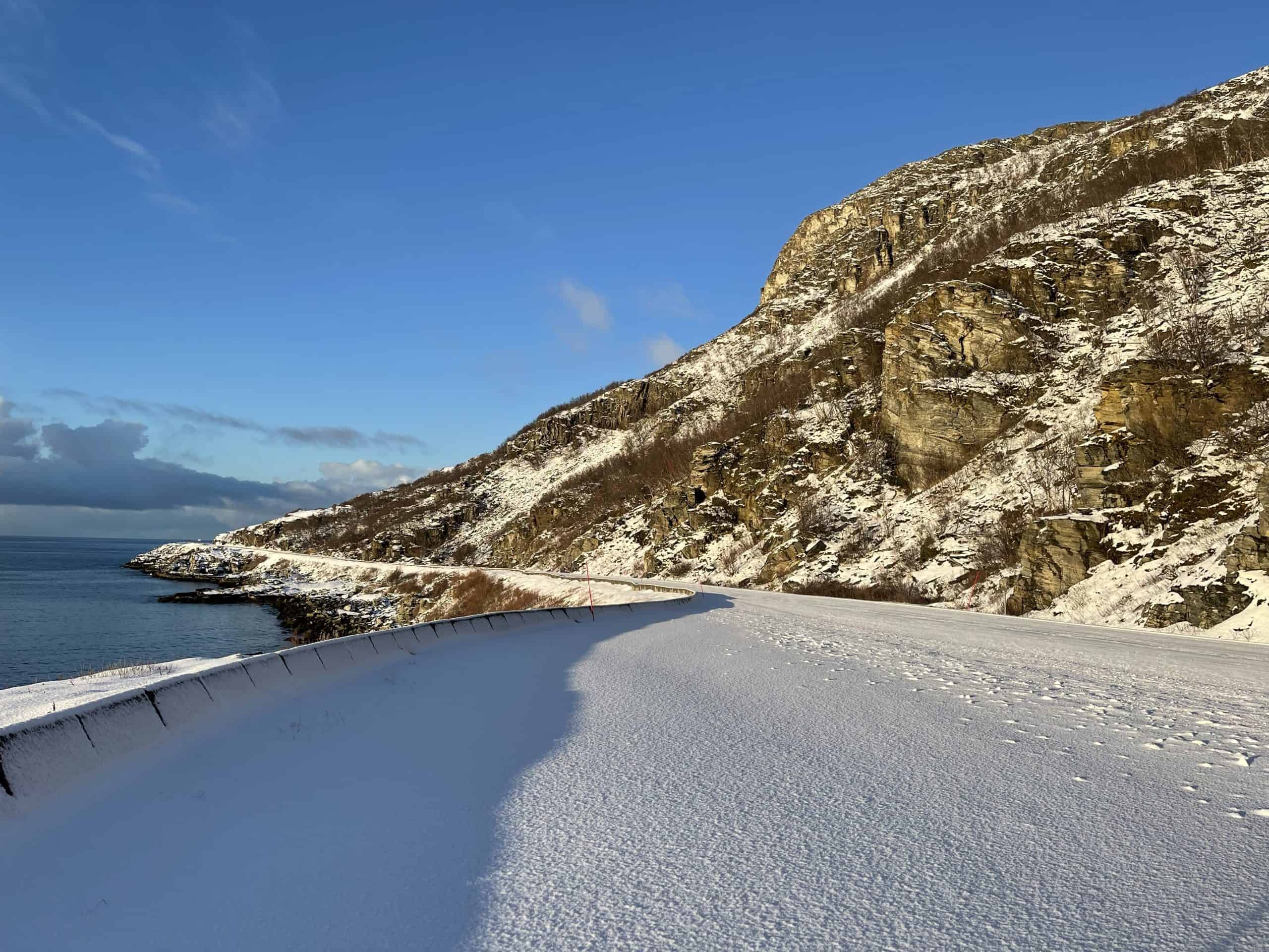
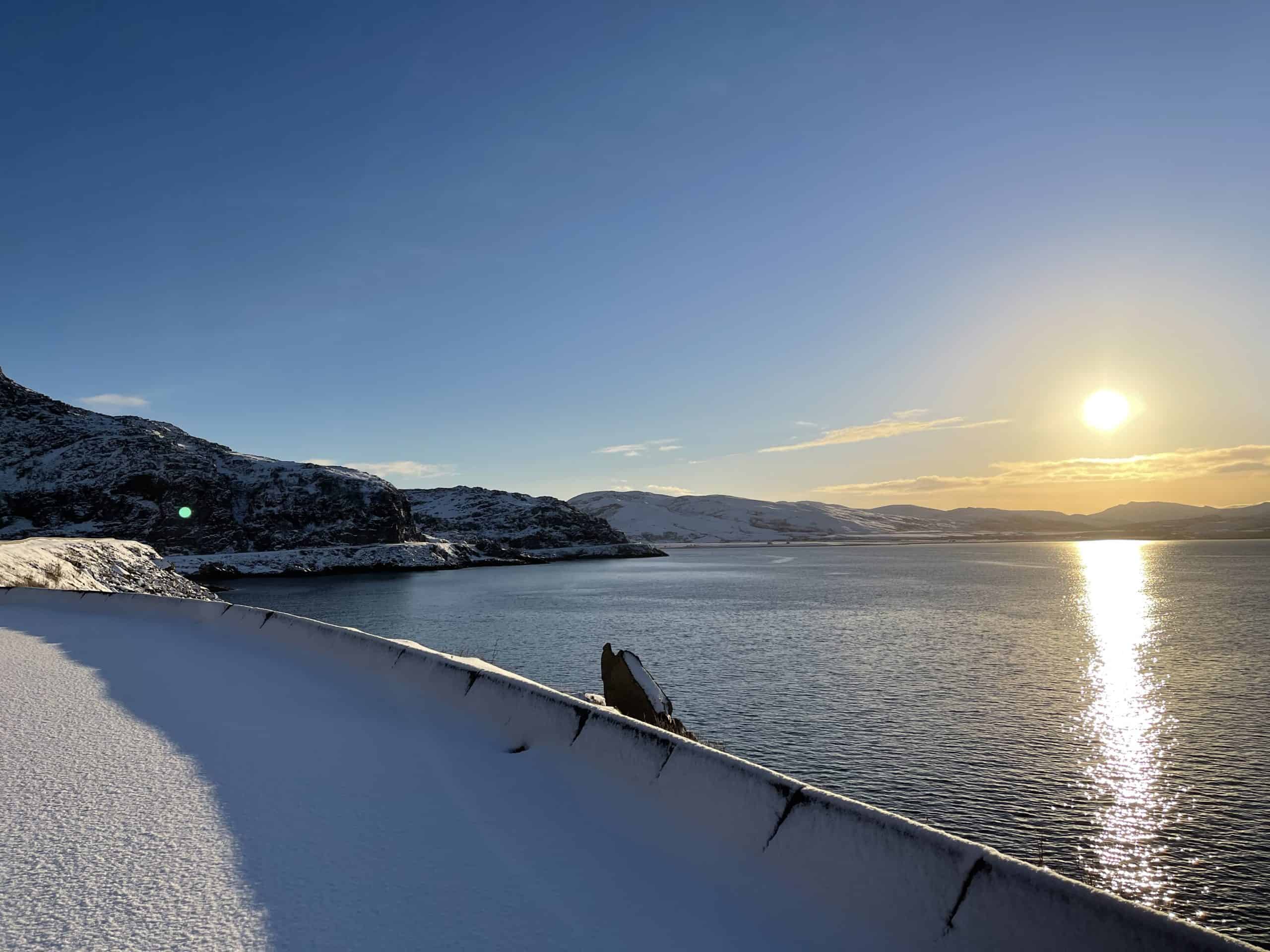
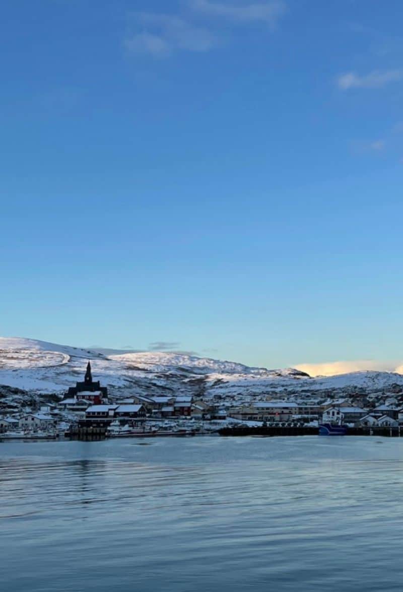
Alta is the second northernmost city in the world and a good place to spend some time. I’ve written a detailed travel guide to Alta, which you’ll see below.

Alta Canyon

Scenic Area

Shortly after passing the municipality sign for Alta, you begin your descent through the Alta Canyon. This canyon is Northern Europe’s largest canyon and extends over 400 metres up from the riverbed. The total length is 12km (7 mi). The canyon begins just downstream from the Alta Power Station. It is possible to visit the dam and power plant, but only with a guided tour. The Sami name for the canyon is Sautso.

Alta Municipality

Alta is one of the largest cities in Northern Norway. You can find a detailed travel guide to Alta below. 

The Altafjord

Fjord

The Altafjord is a 38km (24 mi) long fjord near Alta. The deepest part of the fjord is around 488m. There are several different fish species in the fjord, including salmon, trout and char – this is because of the rivers flowing into the fjord. There is also some fish farming in the fjord. Several rock carvings have been found along the fjord and are now on the UNESCO World Heritage list.

Rafsbotn

Village

Rafsbotn is a small village located just outside Alta. The population is around 408 and Rafsbotn is home to a ski slope and a chapel. The name comes from the Sami name Ráššvuotna, which means ‘clay seabed’.

Sarvesalta

Alpine Ski Resort

Sarvesalta is an alpine ski resort overlooking the Altafjord and it is the major ski resort in the area. One of the popular places to stay is the Bjørnfjell Mountain Lodge, which focuses a lot on Norwegian farming and cabin culture.

Hammerfest Municipality

Hammerfest is a large municipality in Northern Norway. The main town is Hammerfest, which is located off the mainland on the island Kvaløya. The coat-of-arms depicts a polar bear, which was chosen as the symbol for fishing in the polar seas in Northern Norway.

Skaidi

Village

Skaidi is a small village and major traffic hub in Northern Norway. In the 1940s, the Skaidi Mountain Lodge and Station was built. Today it’s an important point to stop if you need a rest on the long road journeys.

Here you’ll find a petrol station, various electric car charging stations, a cafe and a hotel. 

Porsanger Municipality

Porsanger is the third largest municipality in Norway, yet it only has a population of 3,998, making it one of the lowest population densities in the country. The main town is Lakselv, which has an airport. The area has been settled by Sami people for a long time. In the 18th century, people from Finland, escaping famine and war, settled here. They are known as the Kven people. Porsanger is known as the only trilingual municipality in Norway with Norwegian, Sami and Kven as the official languages.

The Norwegian Army has a garrison at Porsangermoen and the military presence in Porsanger is quite heavy. The military is one of the largest employers in the area and contributes a lot financially. The Stabbursdalen National Park is located in the municipality and is home to the world’s northernmost pine forest.

Archaeological finds show the Sami have lived here for a long time. Porsanger is rich in resources, and there are rich pastures for reindeer. On the islands are large quantities of cloudberries and down, while in the rivers there are salmon, trout and char. Until 1750, the area was almost exclusively a Sami area and then it was a Kven area. The Norwegians didn’t begin to settle until the 20th century, though the main reason for this is because the Kven and Sami people began to describe themselves as Norwegian. The area also needed officials, teachers, priests, doctors, merchants, etc and many were Norwegian.

Porsangerfjord

Fjord

The Porsangerfjord is Norway’s fourth-longest fjord, reaching 123km (76 mi) inland. The village of Lakselv sits at the innermost part of the fjord, while the large island of Magerøya (home to North Cape) sits on the western shore of the fjord.

Olderfjord

Village

Olderfjord is a small village located at the junction between the roads. Here you’ll find a petrol station and a few homes.

Havøysund Tourist Road

Tourist Road

The Havøysund Tourist Road is one of the lesser-known tourist roads, but is probably one of my favourites. The landscape is so barren and remote, creating a unique experience as you drive along the rocky landscape along the Arctic Ocean.

As soon as you make the left-turn, you are on the tourist road.

Lillefjord

Rest Area

The Lillefjord rest area is located at the halfway point on the tourist road. Here you’ll find restrooms in the summer as well as an interesting bridge that crosses the Fosseelva River.

Måsøy Municipality

Måsøy is a municipality located across several islands. Havøysund is the main centre for the municipality. The coat-of-arms depicts a weapon called a fishing gaff. It has been used in fishing for centuries to haul large fish into the boat, hence the choice. Fruholmen Lighthouse, the northernmost lighthouse in Norway, is located here.

The road we are driving on provides access for Havøysund to the mainland, but it can close in winter due to snow.

Selvika

Alpine Ski Resort

This is a rest stop and concrete sculpture that sits at the end of the Selvika Bay. The sculpture was completed in 2012 and was supposed to magnify the experience of walking from the road down to the seaside. In this area many remains of settlements from Neolithic times as well as Sami culture have been found.

Havøysund

Havøysund is the municipal centre for the Måsøy municipality. The population is 976 and most people work in the fishing industry. There are fish processing factories, a boat yard, a petrol station, doctors, and a church. Havøysund is home to Måsøy Museum, which consists of tools and technical equipment used by fishermen.

Where to Go From Here

After visiting Havøysund, we continued our drive to Honningsvåg, the northernmost city in the world. From there, we visited North Cape. 

This drive is part of the multi-day series “From Tromsø to North Cape and back again”. You can view the entire drive via the link below. 

If you liked this drive, or if you have any travel tips, please leave a comment in the section below!