Description
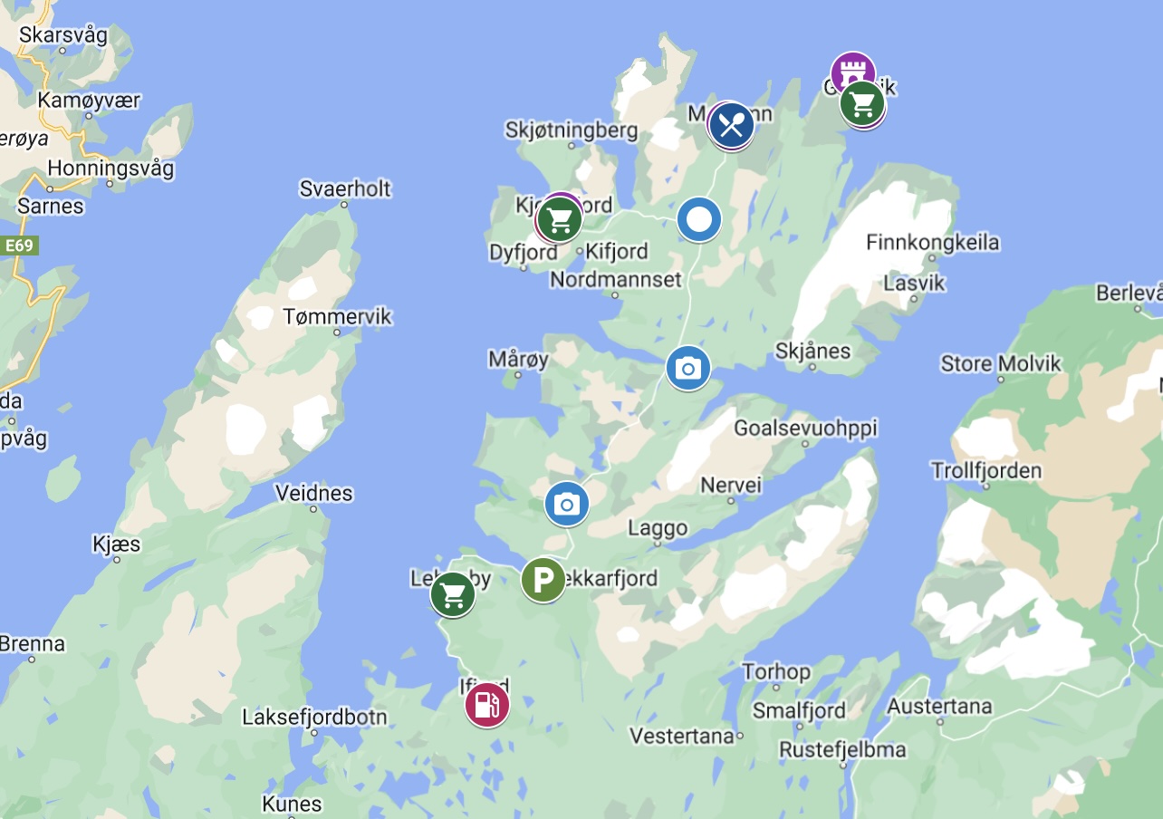
The Nordkyn Peninsula (Fv888)
The Nordkyn peninsula has a unique barren landscape. There’s no high peaks here, and there are large areas of ‘boulder oceans’ – expanses of broken rock virtually without soil or vegetation. The peninsula also has bustling fishing villages and lots of history. It ends at Kinnarodden, the northernmost point on mainland Europe.
The peninsula is connected to the mainland at Hopseidet, a narrow isthmus between Eidsfjorden in the west and Hopsfjorden in the east. The isthmus is 2km wide at low tide, 500m wide at high tide, and the highest point is 2.5m above sea level. In the 17th century there were settlements here and a church. There have been many debates and discussions concerning the construction of a ship canal so boats aren’t exposed to the bad weather around the peninsula.
Printable version of the Nordkinn Peninsula includes:
- Detailed information about each point of interest
- Images of each point of interest
- Historic overview of streets, buildings, and areas
- Directions between points
- Time between points
- Historic photos
- Scenic photo stops
- Museums and shops worth visiting
- Link to a map that you can load into your phone for easier navigation
This guide is 6 pages and comes in a PDF format.
Reviews
There are no reviews yet.