
Drive it Yourself: Lakselv to Kirkenes on the E6
The E6 is the main highway that runs through Norway. The last stretch of it is between Lakselv and Kirkenes. Here, the landscape is unlike anything else in Norway: rocky, barren coastlines separating stretches of tundra. The Sami people have called this area home for thousands of years, while Norwegians and Kvens settled from the 19th century onwards.
The highway follows the Finnish border for a large portion, and it’s even possible to take small detours into Finland. It’s actually quicker to get between the two towns by going through Finland, but for our purposes we will take the scenic route on the E6.
In this article...
Downloadable Version of This Guide
Download this guide to have it as a PDF ready to go for your road-trip!
All downloadable guides come with an interactive Google Map for easier navigation.
Online Guide
- Information about points of interest
- Images of each point of interest
- Historic overview of the neighbourhood
- Directions between points
- Historic photos
- Information about facilities along the way
Downloadable Guide
- Information about points of interest
- Images of each point of interest
- Historic overview of the region & towns
- Directions between points
- Historic photos
- Facilities including supermarkets, toilets, petrol, hotels, cafes, restaurants with addresses.
Watch on Youtube
All of our roadtrips are available on YouTube to watch. They include information about the area provided in text and voiceover form, plus they show the drive in full (sped up in some spots!) so you can get an idea what the drive is like.
The drive: Lakselv to Kirkenes on the E6
Lakselv
This drive begins in Lakselv, the largest settlement in Porsanger Municipality, with a population of around 2,200. The village is located at the end of the Porsangerfjord and the E6 passes through the village.
Porsangmoen
Porsangmoen is one of the major military camps in Northern Norway.
The District Command for Finnmark was established at Skoganvarre (you’ll pass through it later) from the beginning of April 1945, however Skoganvarre turned out to not be suitable for a larger military camp. It was decided to move the camp to the area it is in now. Before 1945, there was very little military presence in the area.
Porsangmoen has one of Norway’s largest shooting ranges at 207km2. It is used by all defence branches of the Norwegian military as well as for foreign departments who come to train on how to solve missions and survive in an Arctic winter environment.
Porsangermoen is currently undergoing a major renovation including new barracks, a new sewerage treatment plant, new internal roads, and apartments for officers.
In Norway, military service is compulsory for both men and women. They typically start at the age of 19 and do service for 12 months.
Skoganvarre
Skoganvarre is a small settlement (population: 54) located roughly halfway between Lakselv and Karasjok.The name is a Norwegianisation of the Northern Sami Shuvvanvarri (Whispering Mountain).
The area has long been an important communication hub in Finnmark as a crossing point between Lakselv-Karasjok and Alta-Tana.
In 1853, the state built a mountain lodge and then in 1870 a telegraph station. In 1924, the road connection was built.
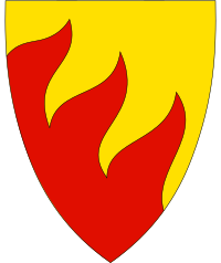
Karasjok
Karasjok is the second-largest municipality in Norway in terms of size, with an area of 5,464km2. However, it has one of the lowest populations of any municipality, with the only settlement being Karasjok. The population density is 0.5 inhabitants per square kilometre (1.3/sq mi). Most of Karasjok’s population are Sami: approximately 80% of the population speak a Sami language as their first language.
The important industries in Karasjok are reindeer husbandry and agriculture, as well as outdoor industries such as hunting and fishing.
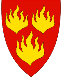
The coat-of-arms represent the meeting of three tribes: the Sami, Finns, and Norwegians. The symbol of fire was chosen because of its importance to the Sami people. The fire brings heat and therefore survival in the winter, but it is also a major threat, both in the tents and the large pine forests.
Karasjok has the lowest measured temperature in Norway, -51.4C, measured in 1886. The highest temperature measured in Karasjok is 32.4C.
Karasjok
Karasjok is regarded as one of the main centres of Sami culture in Norway, and is an interesting little town for spending some time in.
Karasjok River
Now you will follow the Karasjohka river along the Norwegian/Finnish border. The river is 161km (100 mi) long and runs through the area of Finnmark. It is one of the most important rivers that drains the Finnmarksvidda plateau and it flows into the famous salmon fishing Tana River.
Váljohka
Váljohka is a small village located where the Váljohka and Karasjohka rivers meet. The village has a small church, Valjok Church, that was built in 1932. The church seats about 60 people and is known for its bright red and blue colours inside. They took inspiration from the traditional colours of the gakti (the Sami costume). The church is not visible from the E6, but it is.a short detour off the highway. It is marked on the highway as “Váljohka kpl”
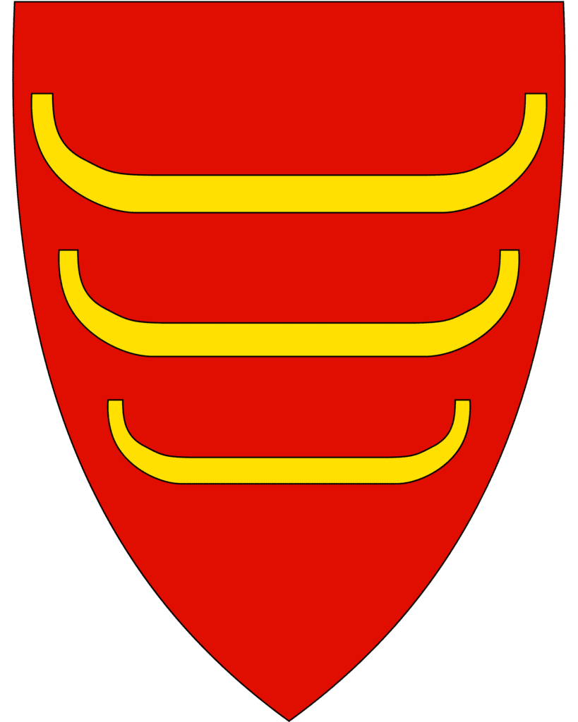
Deanu-Tana Municipality
Deanu (Northern Sami) or Tana (Norwegian) is the next municipality you will pass through. The Sami word can be translated as ‘great river’, referring to the Tana River. The population of the municipality is around 2,800, with the population currently declining.
The coat-of-arms represents riverboats that have been used in the area for centuries. The three boats symbolise the three ethnic groups here: Sami, Kven and Norwegian, and the colours mimic the red and yellow of the Norwegian coat-of-arms.
A large number of people work in retail or hospitality (29%), while 23% of the population work in healthcare and the social sector. The most important economic resources are the farmland or forest area. The world’s northernmost dairy is Tine in Tana Bru, and it employs around 30 people.
The municipality is located along the lower river basin of the Tana River. Most of the inhabitants are Sami people. The river has represented a mainstay of the local economy. It is one of Europe’s main salmon rivers, though no large-scale commercial fishing is done. Because of the river, the municipality has one of the most spectacular gatherings in Norway. As many as 25,000 goo-sanders can accumulate along the waterway system. There are also thousands of common eider and long-tailed duck who come to the river. Bears are rarely spotted in the municipality.
Tana Bru
This is the main village in Deanu-Tana. Tana Bru means ‘Tana Bridge’ in English and is named after the bridge that crosses the river to the village of Skiippagurra on the other side of the river.
Skiippagurra
On the other side of the bridge is a small village called Skiippagurra. It has a population of around 254 residents and is a historic trading place. This is where the E6 stops following the Tana River and continues across to Kirkenes.
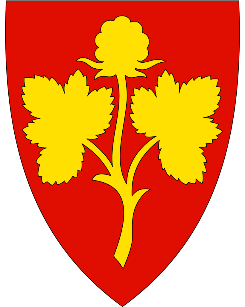
Nesseby Municipality
Nesseby is a small municipality located at the isthmus between the Varangerfjord and the Tana River at the entrance to the Varanger pensinula. The population lives in small settlements along the fjord and the Varangerhalvøya National Park is partly located in the park. The municipality is known for its interesting birdlife and also its tundra with areas of bog and marsh.
Today the municipality is known as Unjárga-Nesseby, reflecting the Sami community who live here. Nesseby was the second municipality in Norway to get a Sami name. Most of the inhabitants are Sami and Sami is being taught as the first language in schools. In historic times, reindeer used to cross this area as part of their annual migration. This led the Sami to coming into the area. The area between Skippagurra and Varangerbotn is full of archaeological finds from different periods.
The coat-of-arms represents a cloudberry plant.
The municipality is the birthplace of Isak Saba, the first Sami to be elected to the Norwegian parliament.
Varangerbotn
Varangerbotn is a small village that is the administrative centre of Nesseby. The population is around 341.
In Varanger you can visit the Varanger Sami Museum, a museum for the history and culture of the Sami in Varangerbotn. The museum presents the Sea Sami history, Sami prehistory, and contemporary Sami culture.
This is where the E6 and the E75 separate. The E75 continues onto the Varanger peninsula towards Vardø, while the E6 goes to Kirkenes. The roundabout in town marks the beginning the National Tourist Road for Varanger, one of Norway’s 18 national tourist roads. If you want to do the tourist road, it is the E75 towards Vardø.
Varangerfjord
For the rest of the drive, you will be driving alongside the Varangerfjord. This is Norway’s easternmost fjord, and it stretches approximately 100km (62 mi), emptying into the Barents Sea. It does not have the hallmarks of a fjord carved by glaciers, so is not technically a fjord. Still, it looks pretty fjord-like!
The mouth is about 70km (43 mi) wide, located between the town of Vardø in the northwest and the village of Grense Jakobselv in the southeast.
Around the fjord is many Kven (Finnish immigrants) and Sami.
Nyelv
Nyelv is a small community with a population of 30. There are two burial mounds from the Neolithic Age located near Nyelv.
Sør-Varanger Municipality
Sør-Varanger is the easternmost municipality in Norway. It is located alongside the borders of both Finland and Russia. Most of the inhabitants live in Kirkenes. Until 1826, the area was jointly taxed by Norway and Russia.
Bugøyfjord
Bugøyfjord is a small village along the Varangerfjord. It was a predominantly Sami community until the Kven people arrived in the 1860s. It was one of the first villages to be burned to the ground by Germans during the retreat in 2004.
In the village is a memorial marker for John Savio, a famous artist from the area. He was born in 1902 in Bugøyfjord and was the first Sami person to have his own exhibition at the National Gallery. He mainly worked with woodcuts. He never had a major artistic breakthrough during his life, but after his death has been recognized as one of the grewatest Sami artists. He is also the only Sami artist to make a name for himself before World War II. He passed away in 1938.
There is a small museum for him in Kirkenes. The John Savio Prize is awarded every two years to an artist with a Sami background who has distinguished themselves in the art field in Norway.
Neiden
Neiden is a small village with a population of around 250. The village is located by the Neiden River, which is famous for its salmon fishing. A large part of the population are Skolt Sami, which is the Orthodox Sami. In town is the Skolt Sami Museum from 2017, which is trying to preserve and present Skolt Sami culture. They also have an outdoor museum with preserved buildings from an old Skolt Sami settlement. It includes St. Georges Chapel, a Russian Orthodox chapel that was built in 1565.
The Skolt Sami are a unique Sami group. They are more closely related to the Russians compared to the Finns or Norwegians and are regarded as a minority group amongst the Sami. They have been more severely impacted by land borders and country regulations than other Sami groups and are marked by high unemployment and low literacy rates. The Skolt Sami language is considered highly endangered and was only written down in 1992.
There is a settlement called Neiden on the Norwegian and the Finnish side. The area used to be one settlement for the Skolt Sami, but when the borders were laid out in the 1850s they were separated. When the area was divided up, Neiden was forced to split across the countries.
Neiden also has Neiden Chapel – built in 1902 as a Norwegian ‘dragestil’ (dragon style) church to symbolise the Norwegian state sovereignty in the area. It is a Lutheran church and is well worth seeing. The Norwegian government invited Norwegian settlers to the area, building the Lutheran church to counterbalance the Orthodox chapel.
Since 1906, Norwegians have come in large numbers because of all the mining in the area.
Garrison Sør-Varanger
The garrison in Sør-Varanger is a military unit based at Høybuktmoen. The departments main task is to patrol and monitor the Norwegian-Russian border. The garrison consists mainly of conscripted soldiers, and there are 400 new conscripts every six months. They mostly tell tourists when they are wandering into Russia, but another goal is to monitor Russian activity on the border.
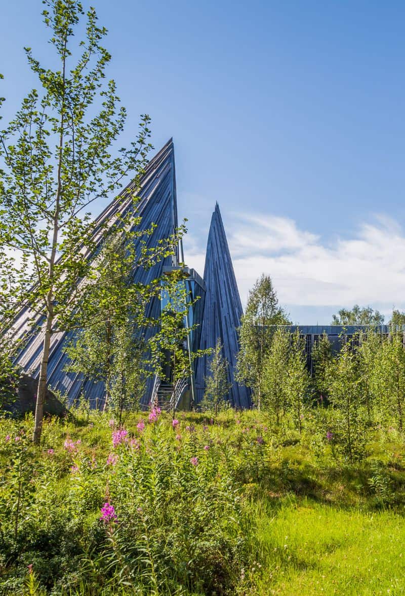
Kirkenes
The end point for the road is at Kirkenes, the easternmost town in Norway.